 Self Guided: Via Alpina
 Self Guided: Via Alpina
Via Alpina: Bernese Oberland Traverse
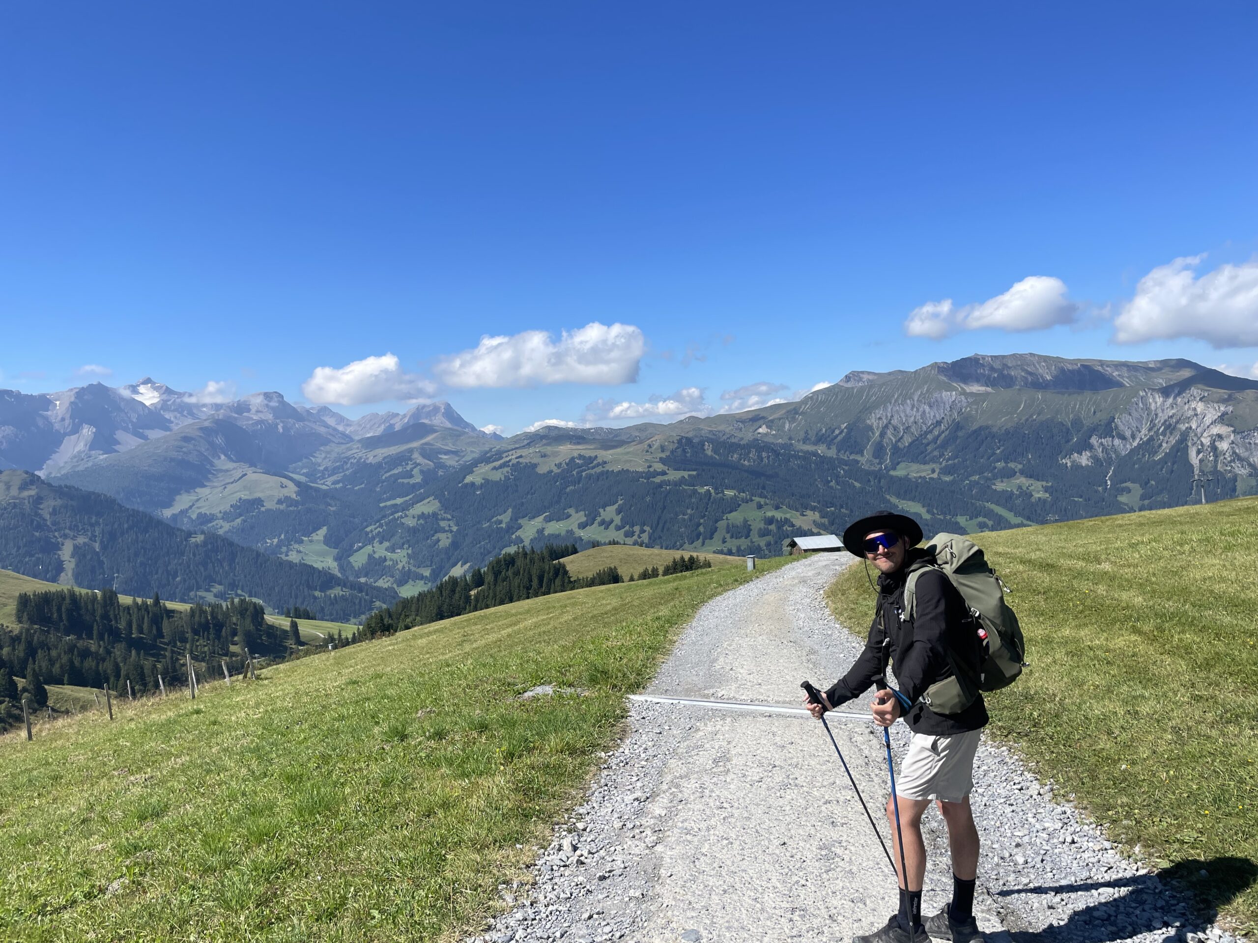
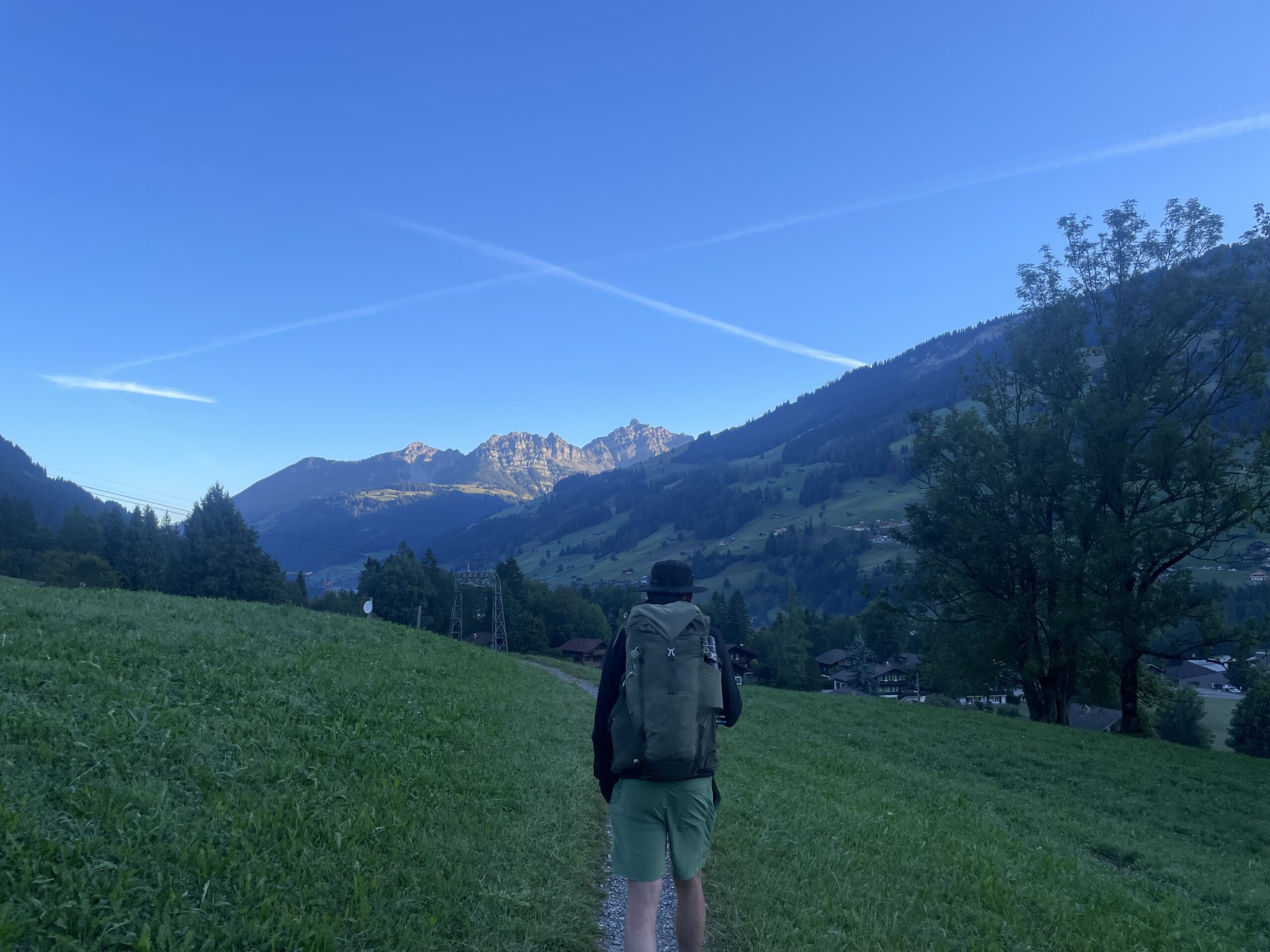
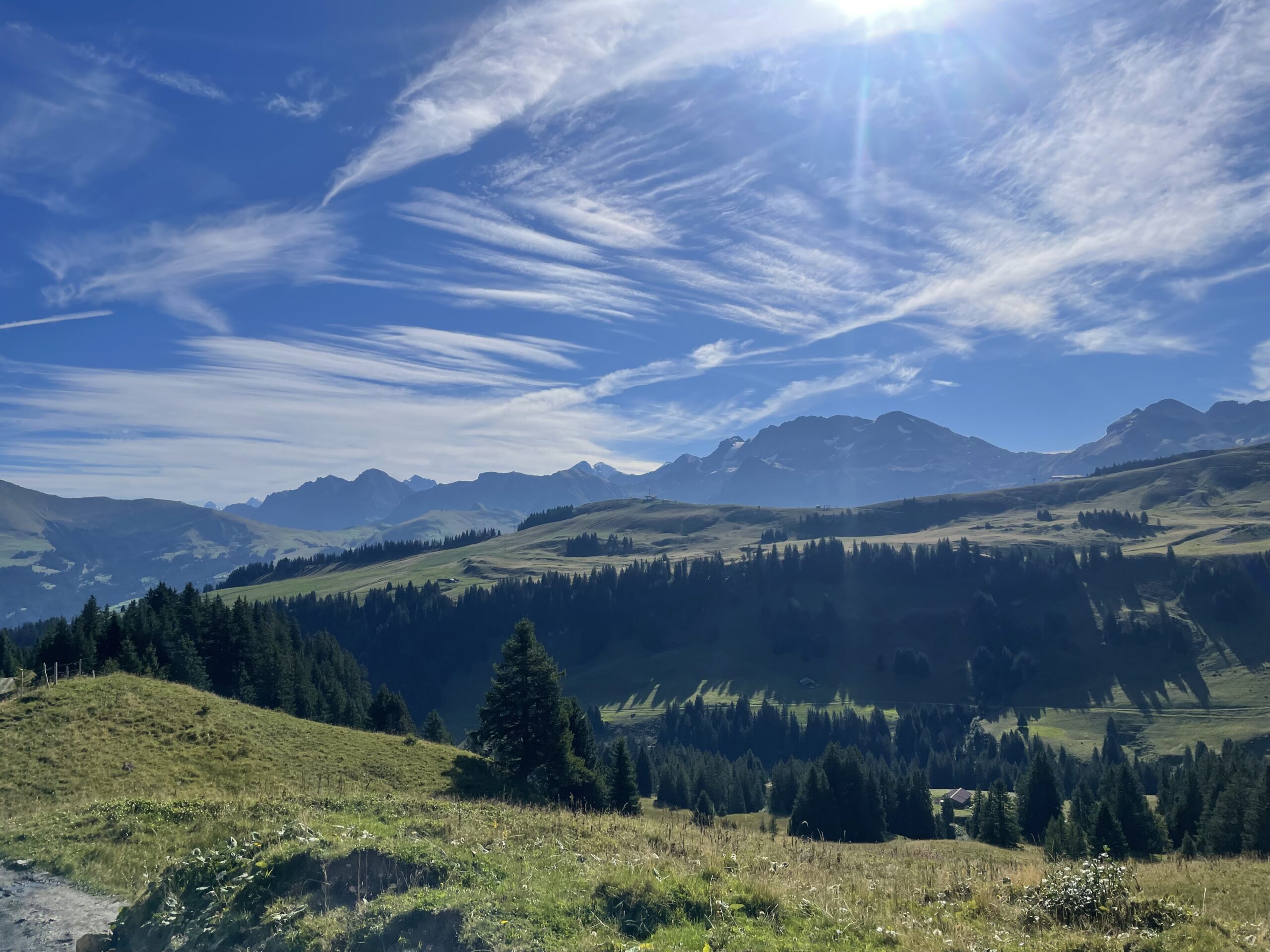
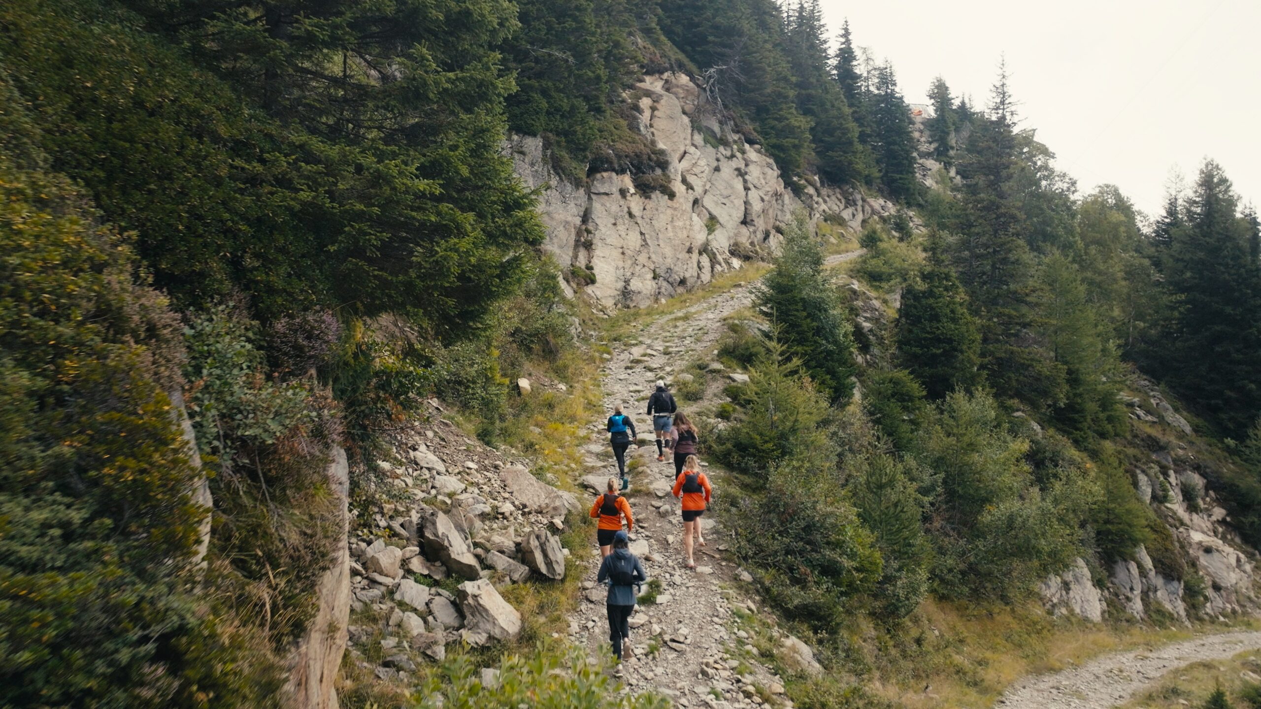
Trek the Via Alpina from Meiringen to Gstaad — an unforgettable alpine adventure that takes you from the towering peaks of the Bernese Oberland to the idyllic villages of Switzerland’s alpine heart. Descend into Grindelwald beneath the legendary Eiger, Mönch, and Jungfrau, wander through the iconic villages of Wengen and Mürren in the dramatic Lauterbrunnen Valley, and follow scenic mountain trails through Kandersteg, Adelboden, and Lenk. Along the way, soak up jaw-dropping vistas, experience traditional alpine life, and discover cozy mountain hotels and charming local villages at every turn.
TrailBlazer trip - Use discount code 'TrailBlazerBOT' to get 20% off. Want to help shape the future of epic mountain experiences? Join our Trailblazers crew — test new routes, share your feedback, and be part of our inner circle! Find out more here.
-
Duration
8 Nights, 9 Days
-
Start Location
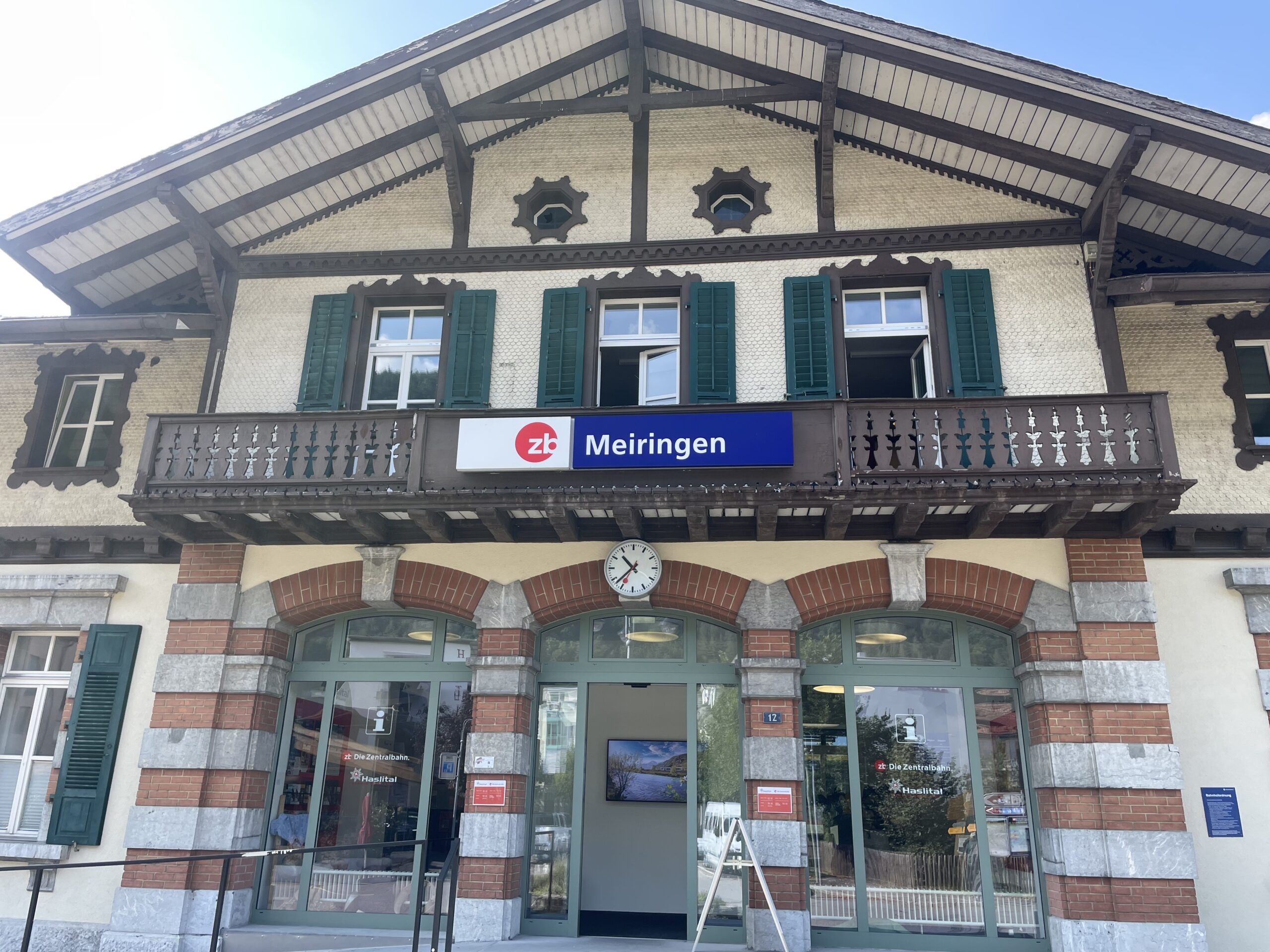
Meiringen, Switzerland
-
Date(s)
July - September
-
Price
From €2630
Adventure Snapshot

VIEW GALLERY
-
-
 + 95
+ 95

SWITZERLAND / 8 NIGHTS / 9 DAYS
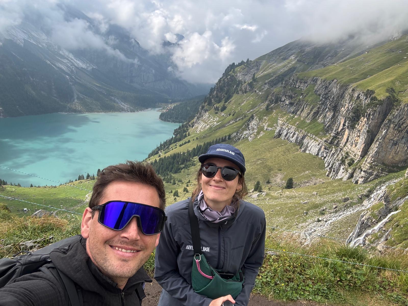
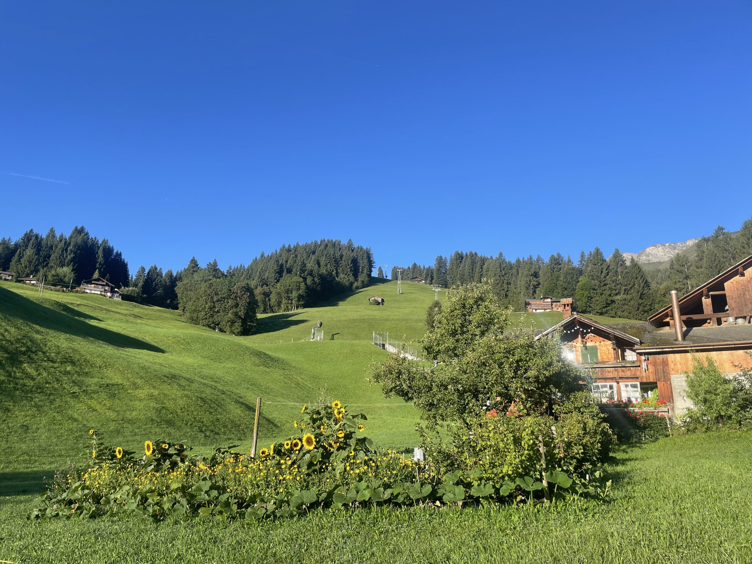
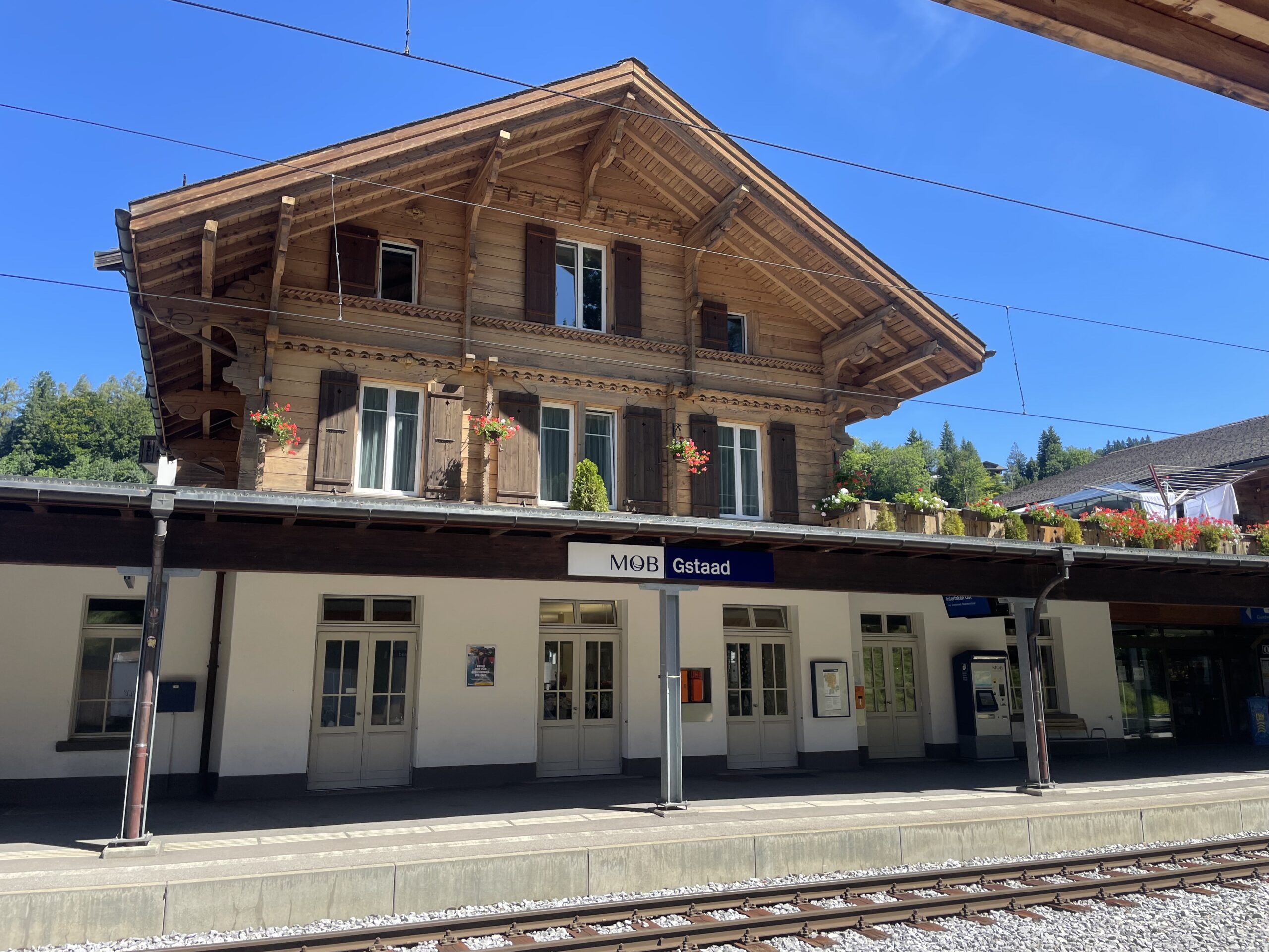
Via Alpina: Meiringen - Gstaad
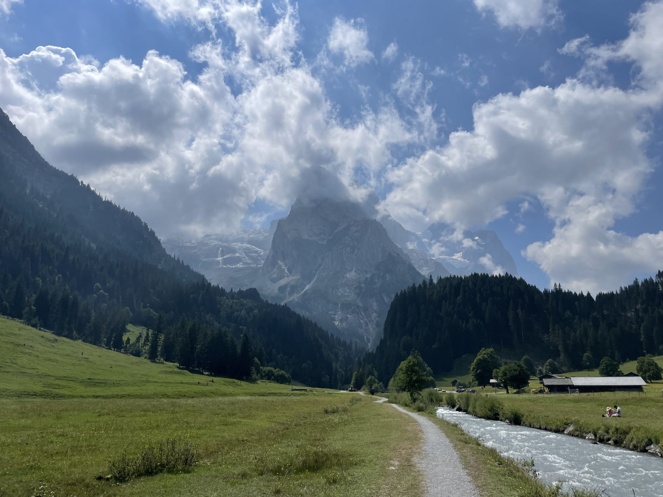
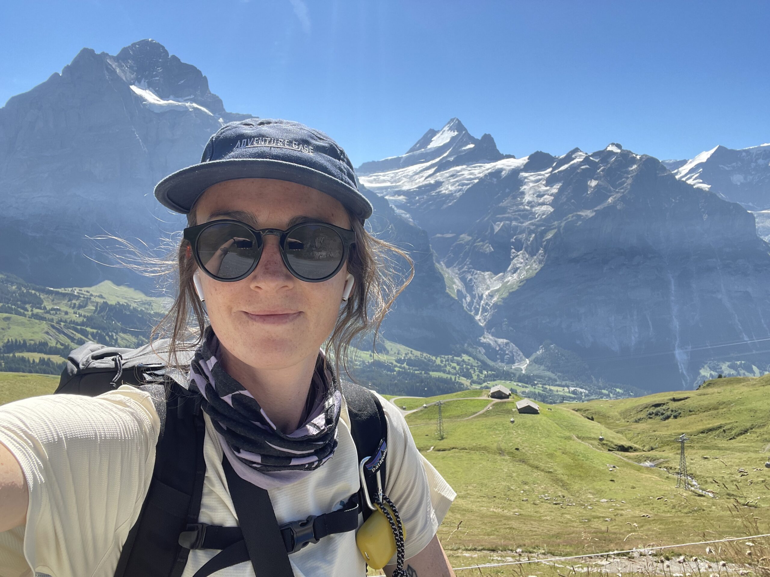
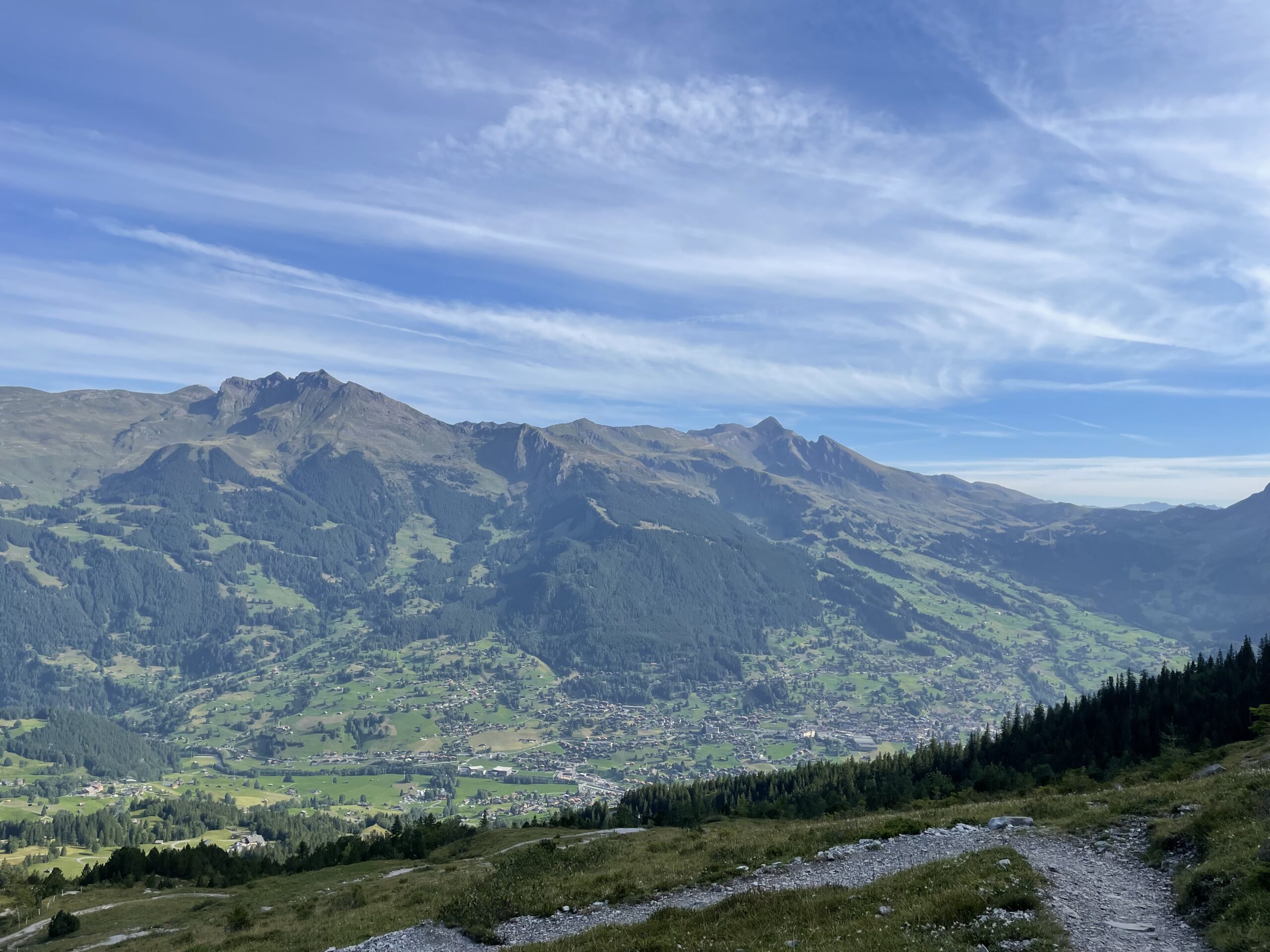
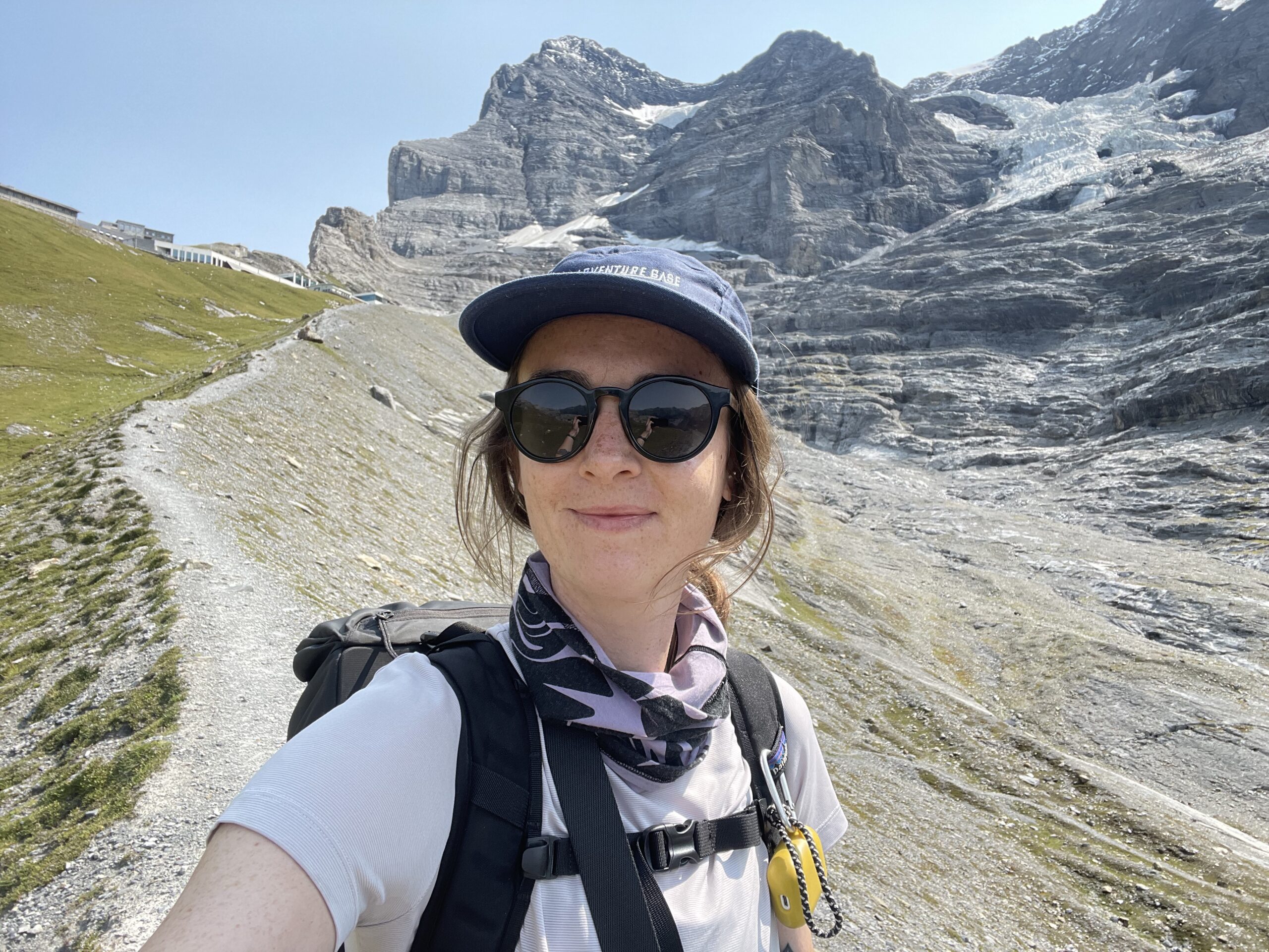
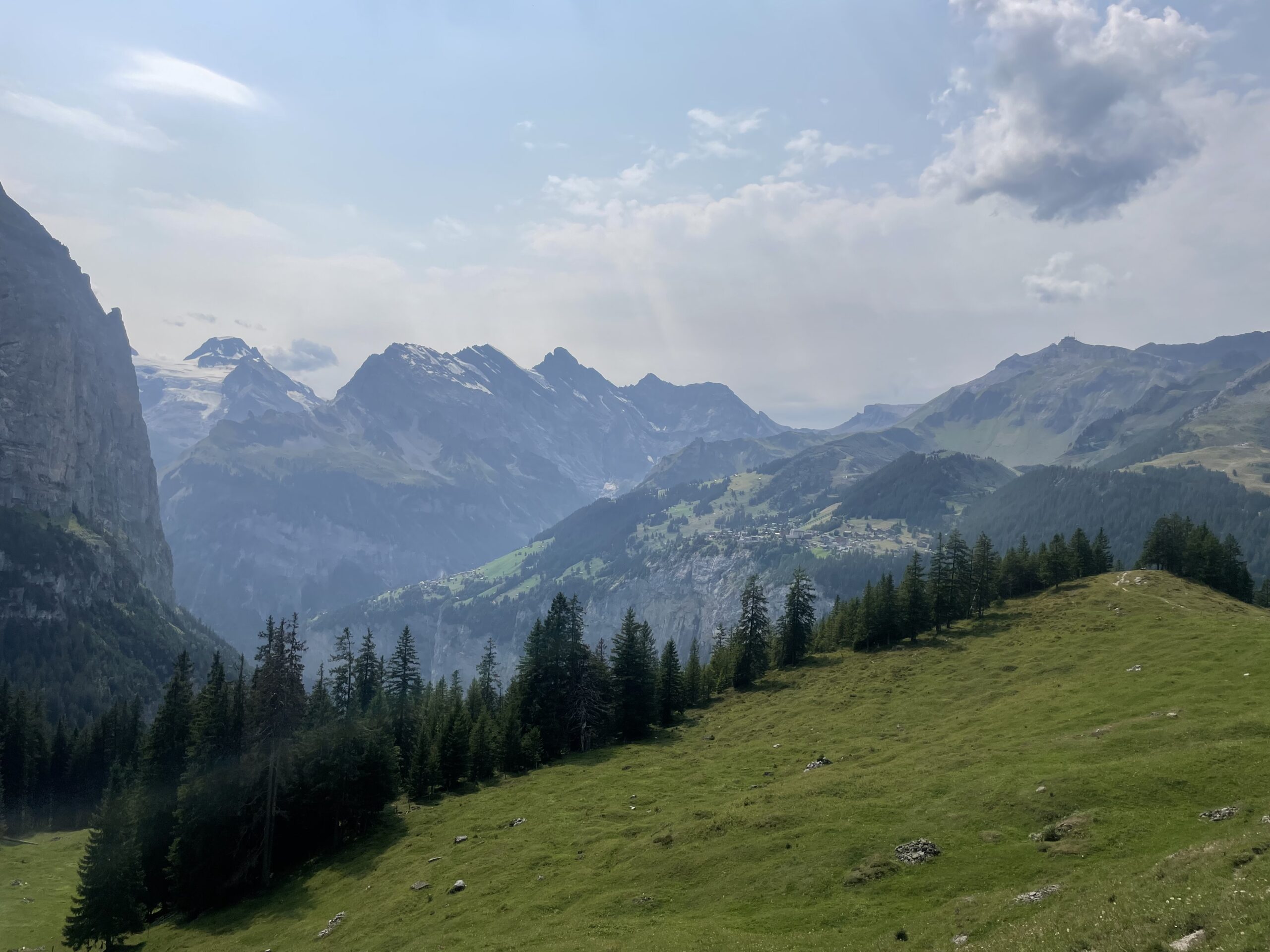
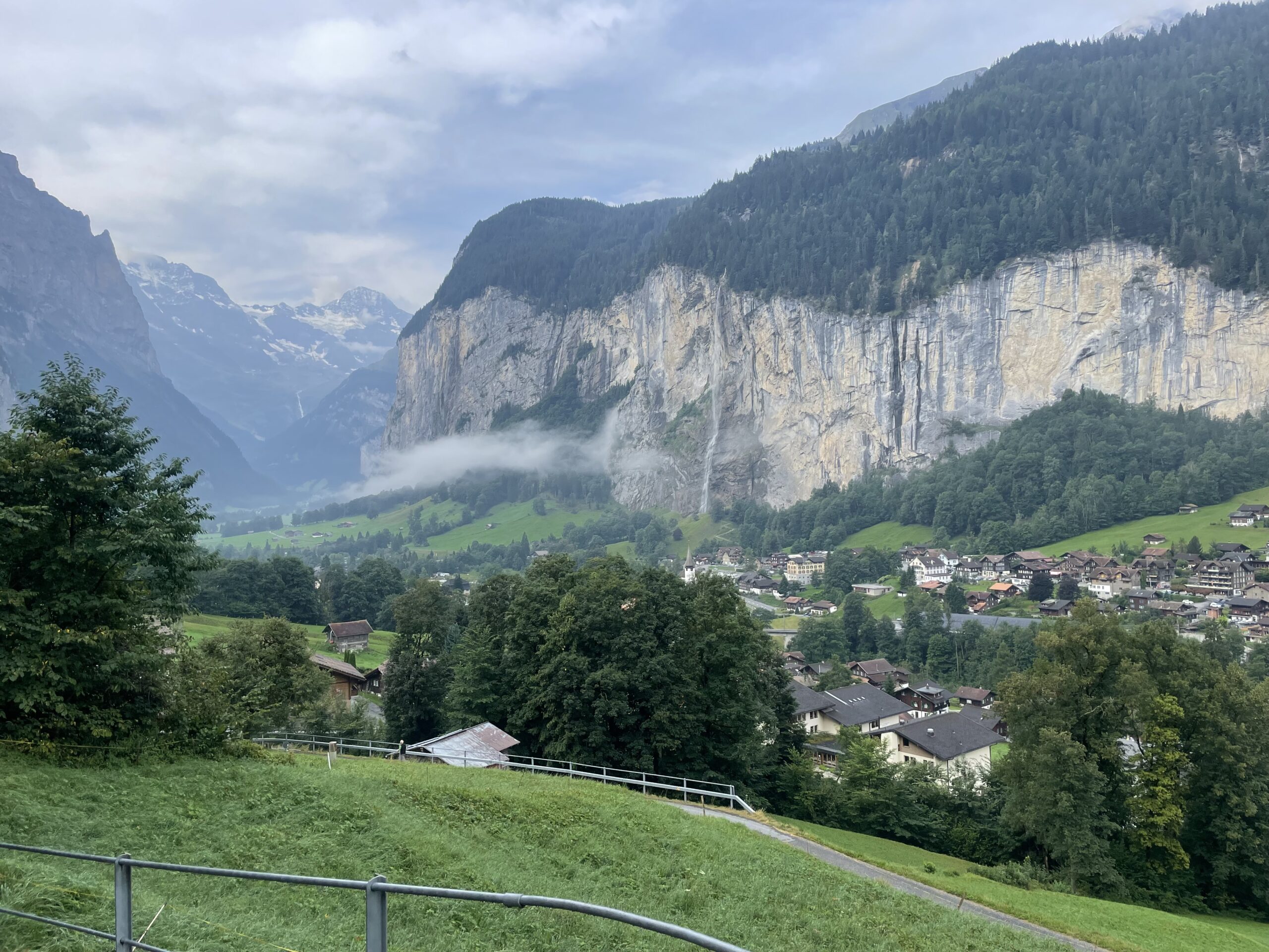
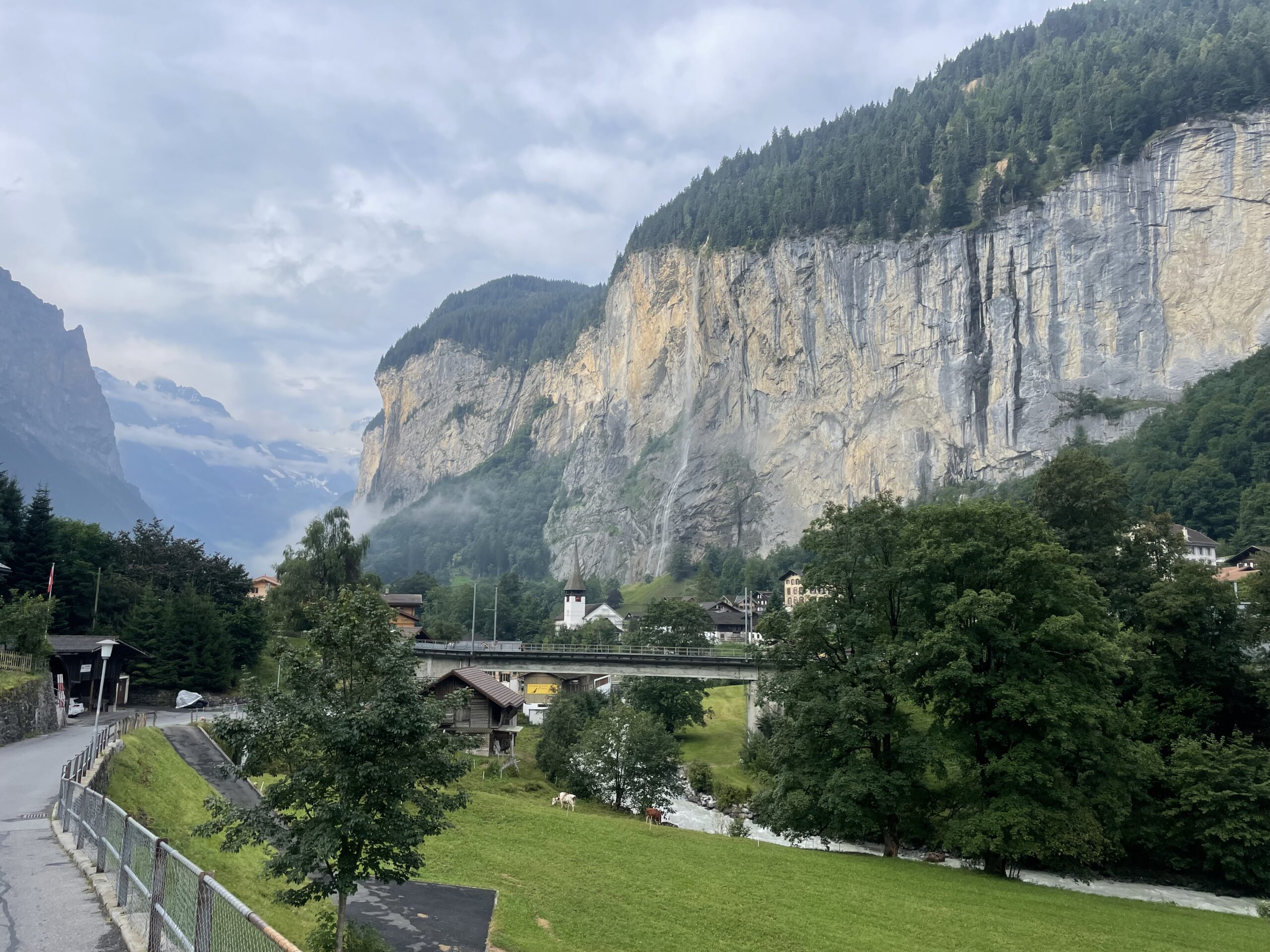
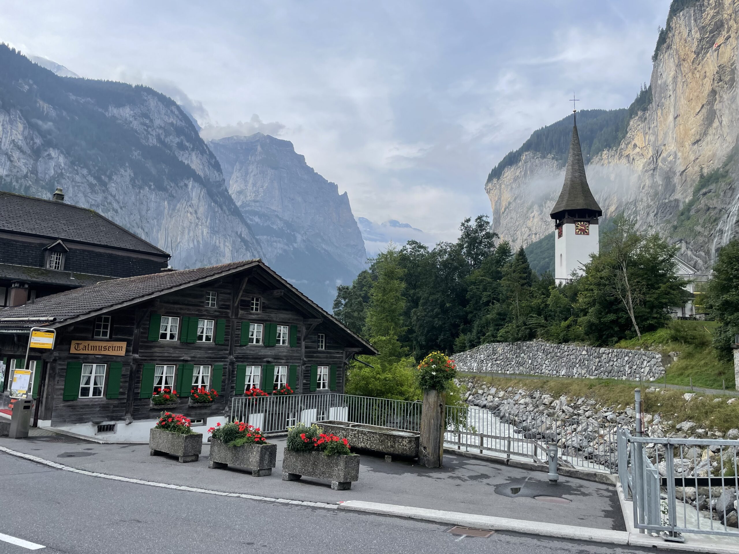
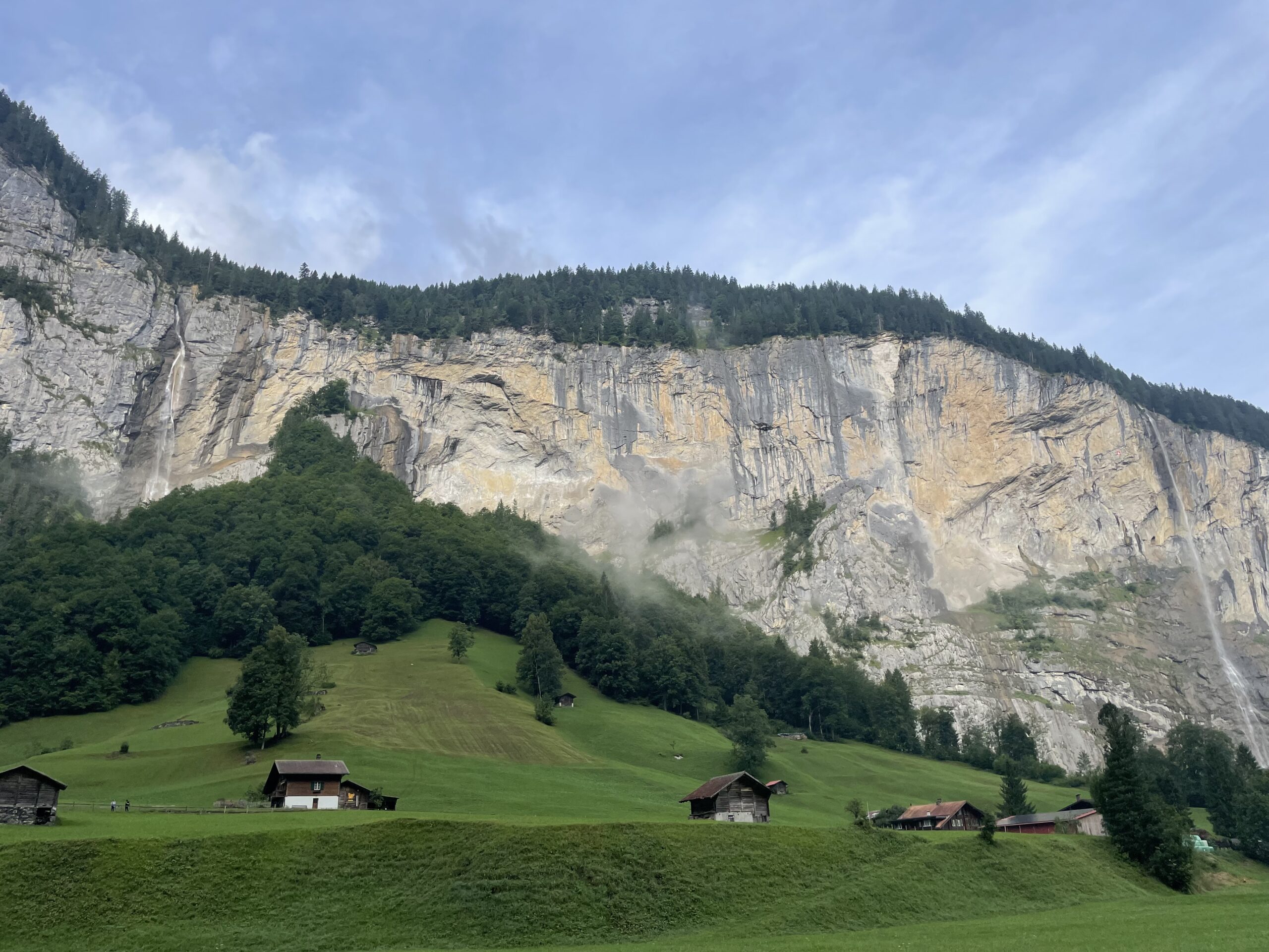
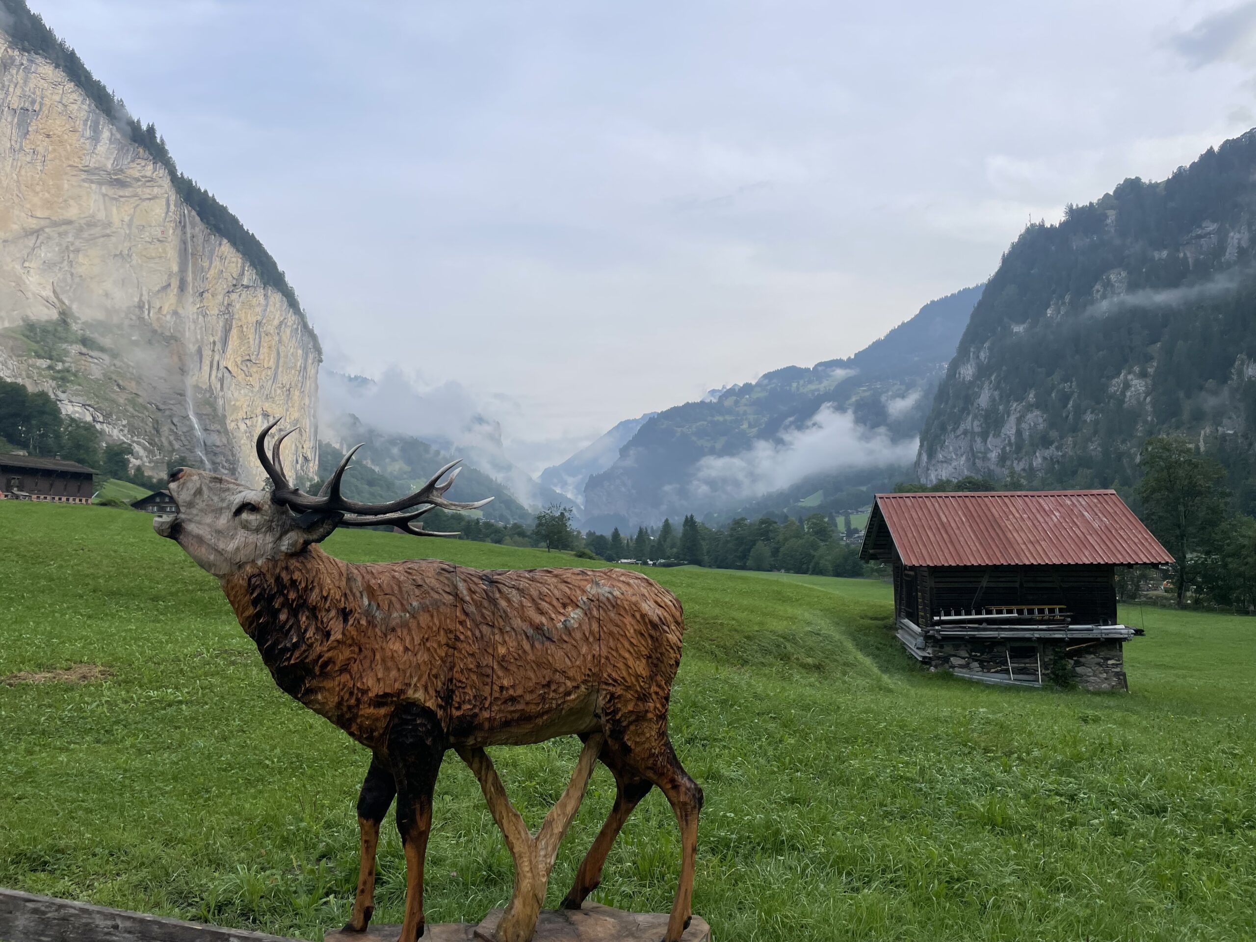
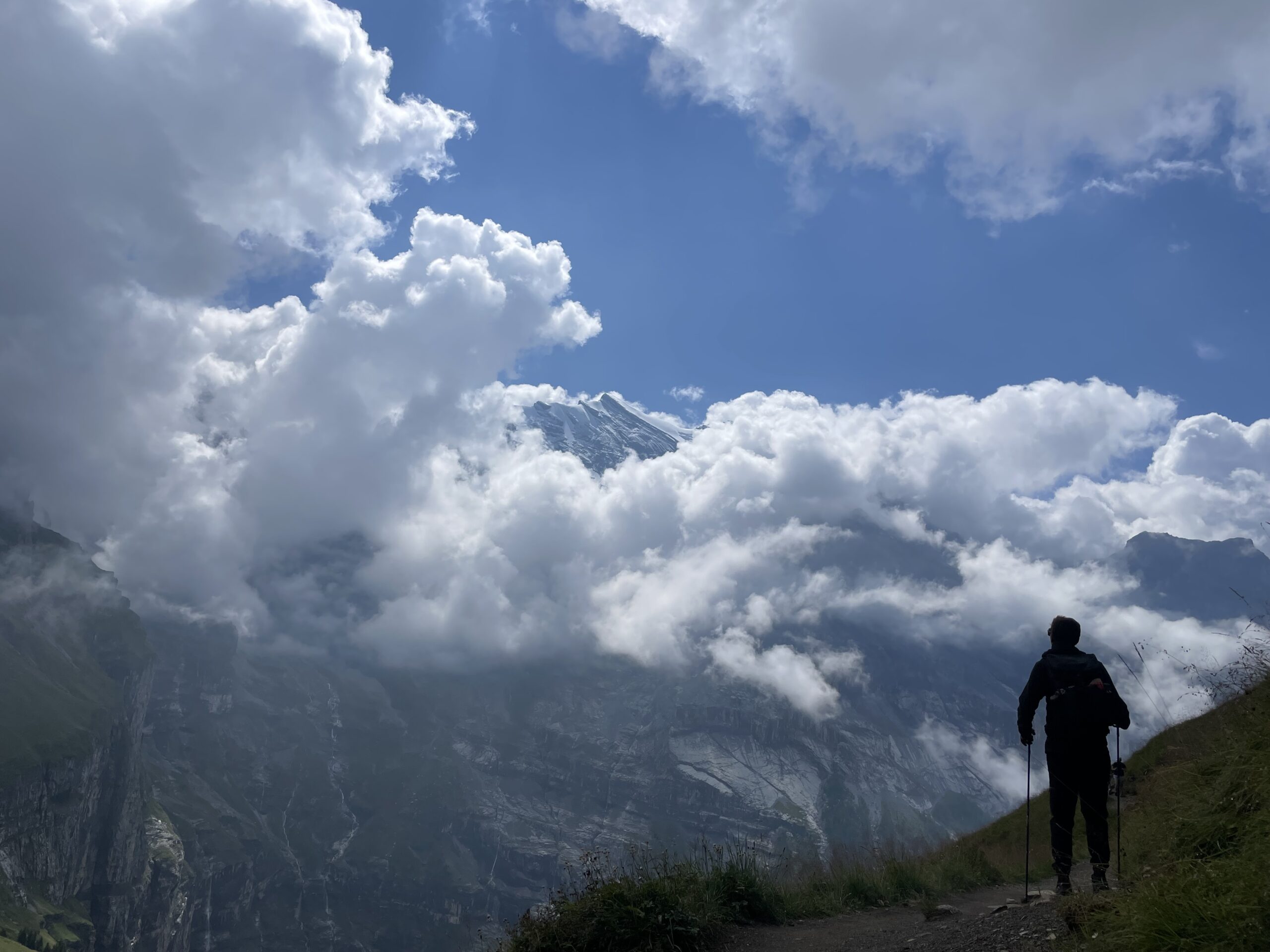
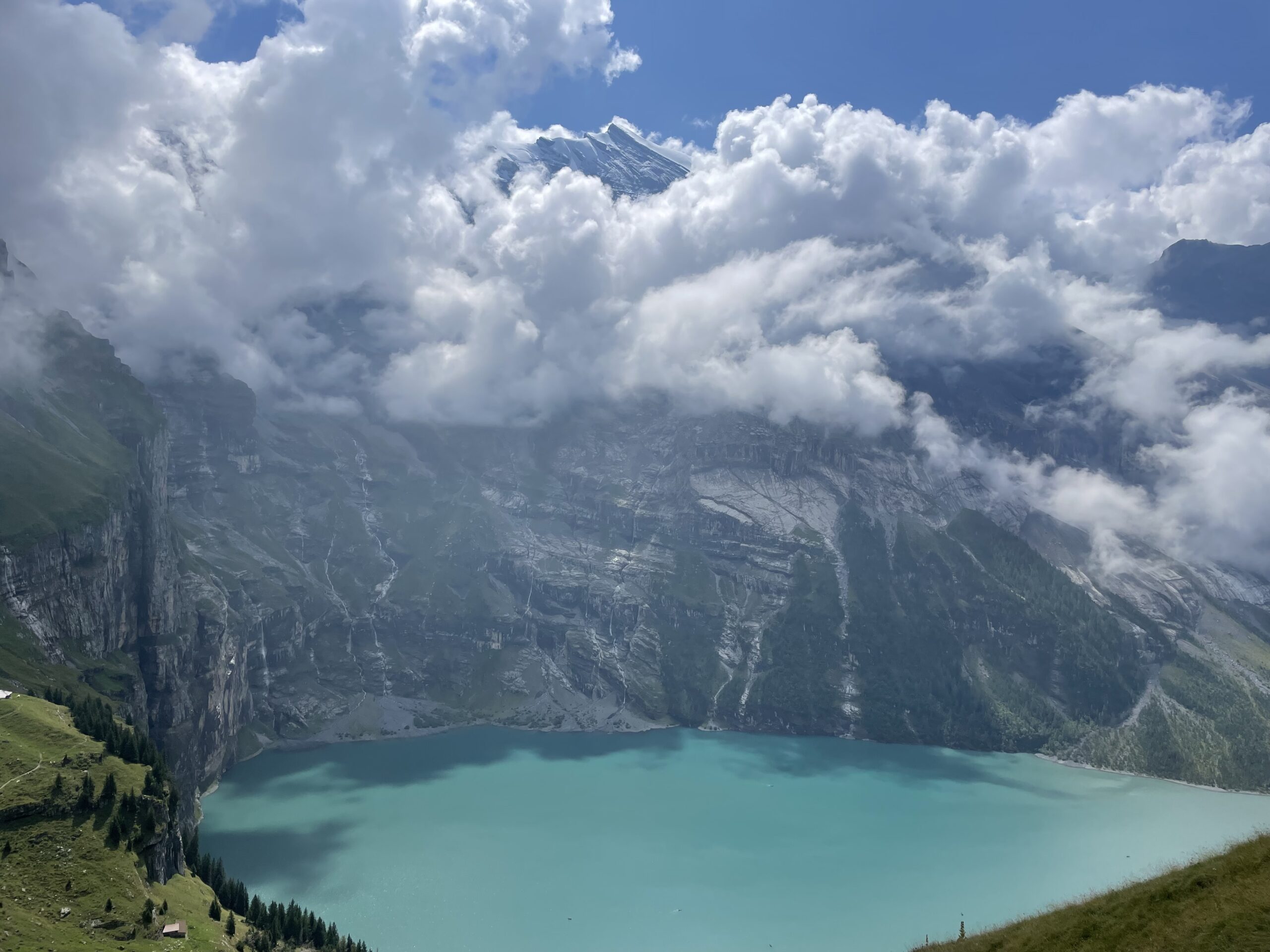
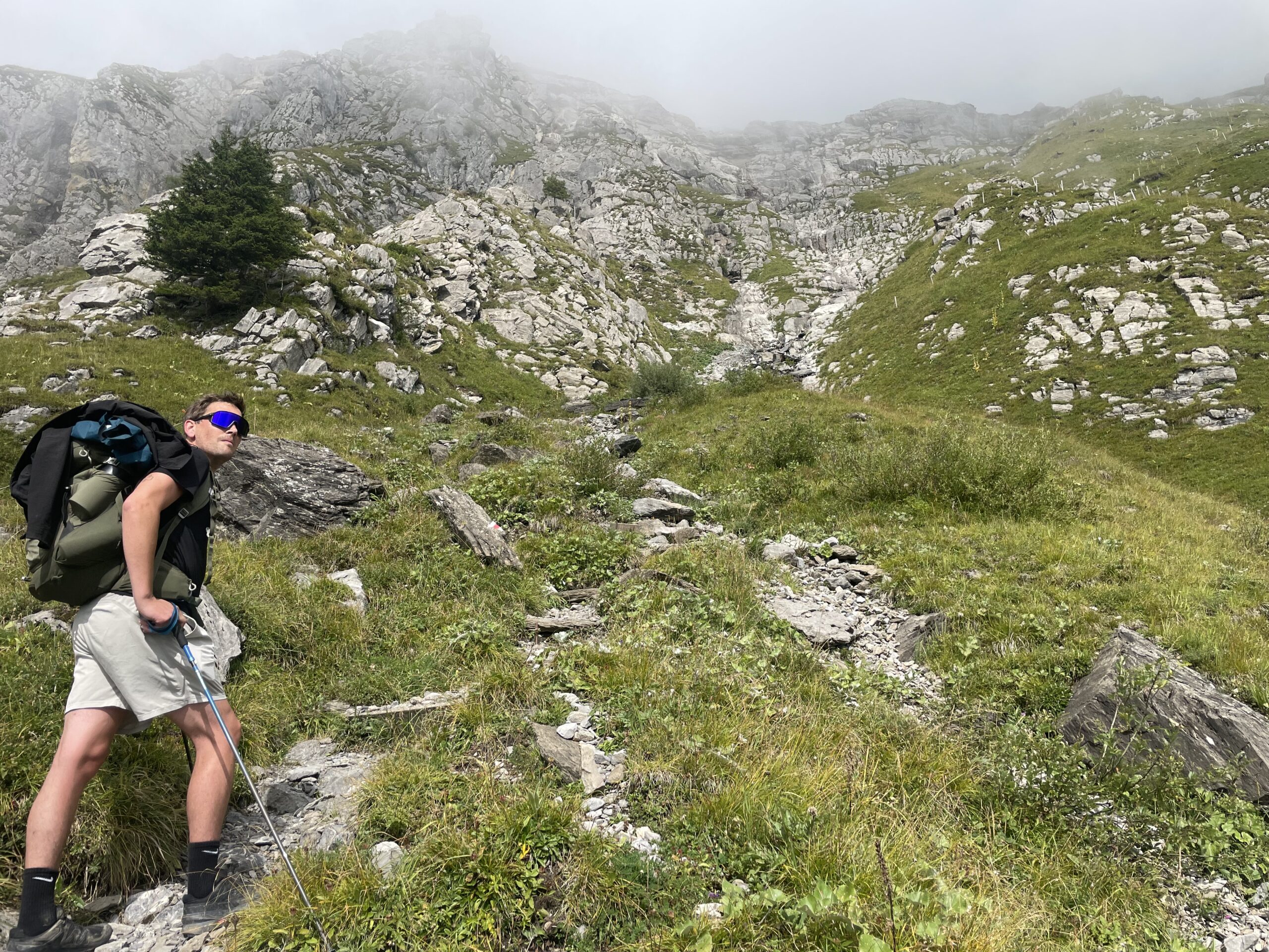
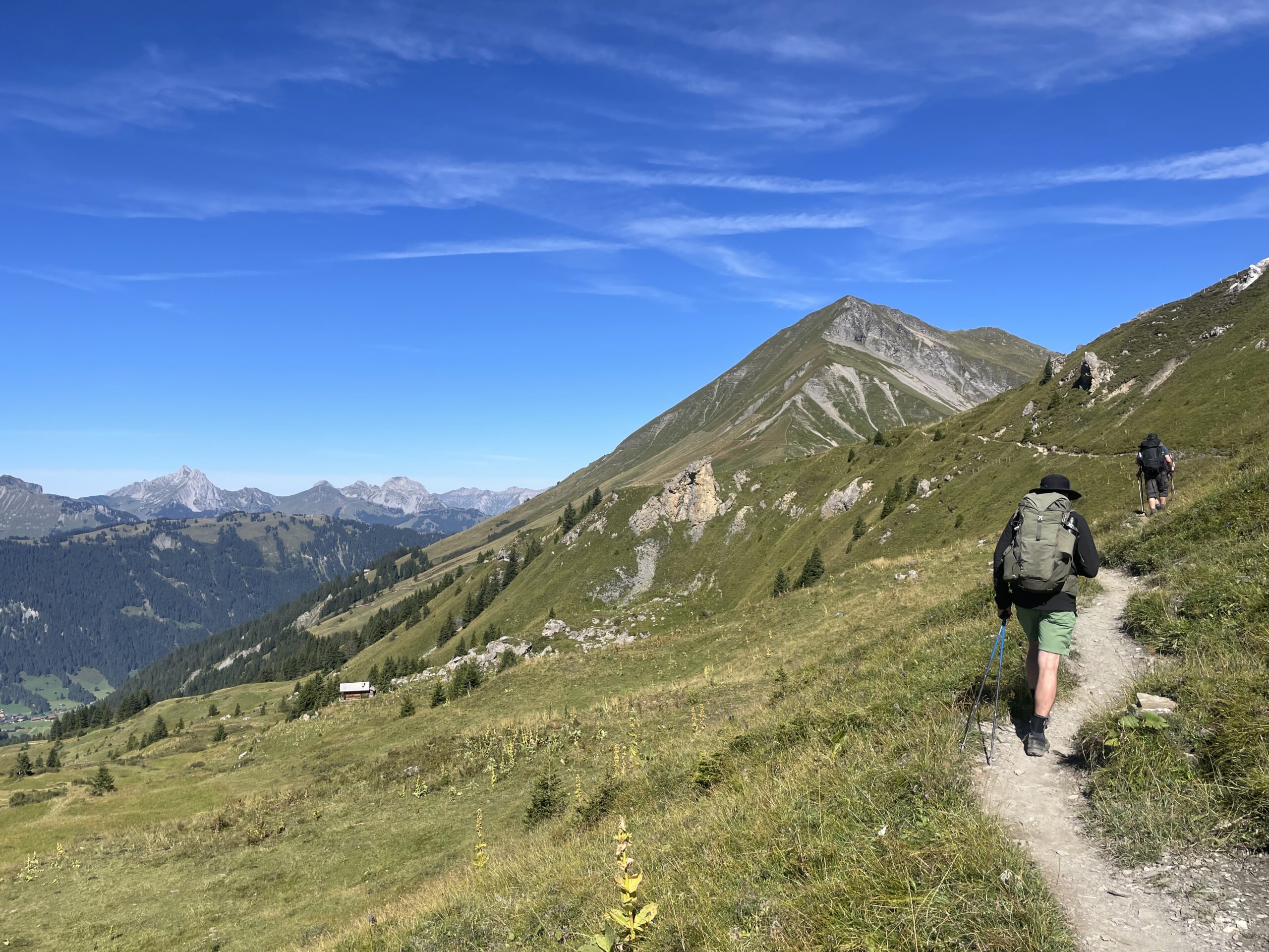
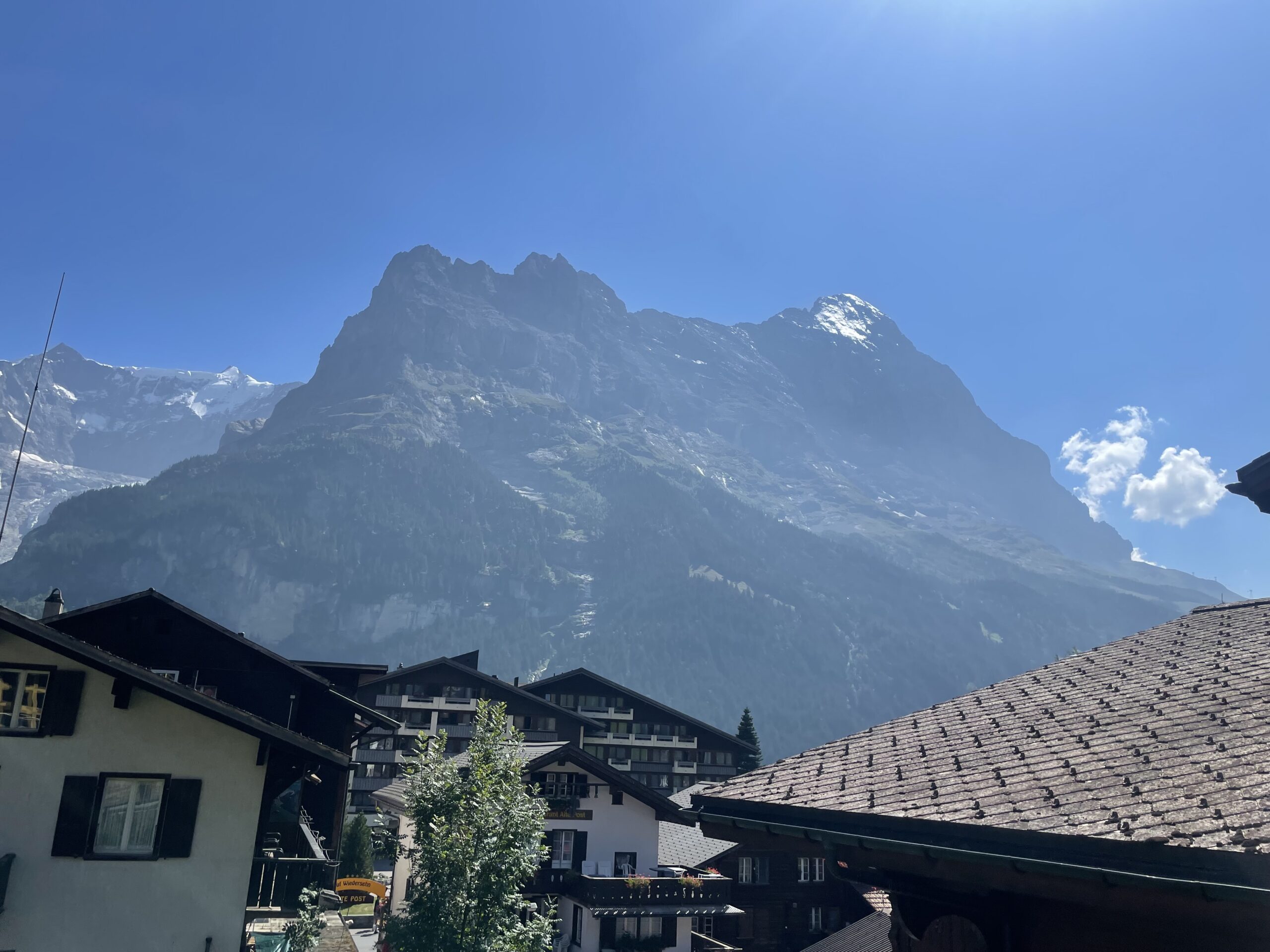
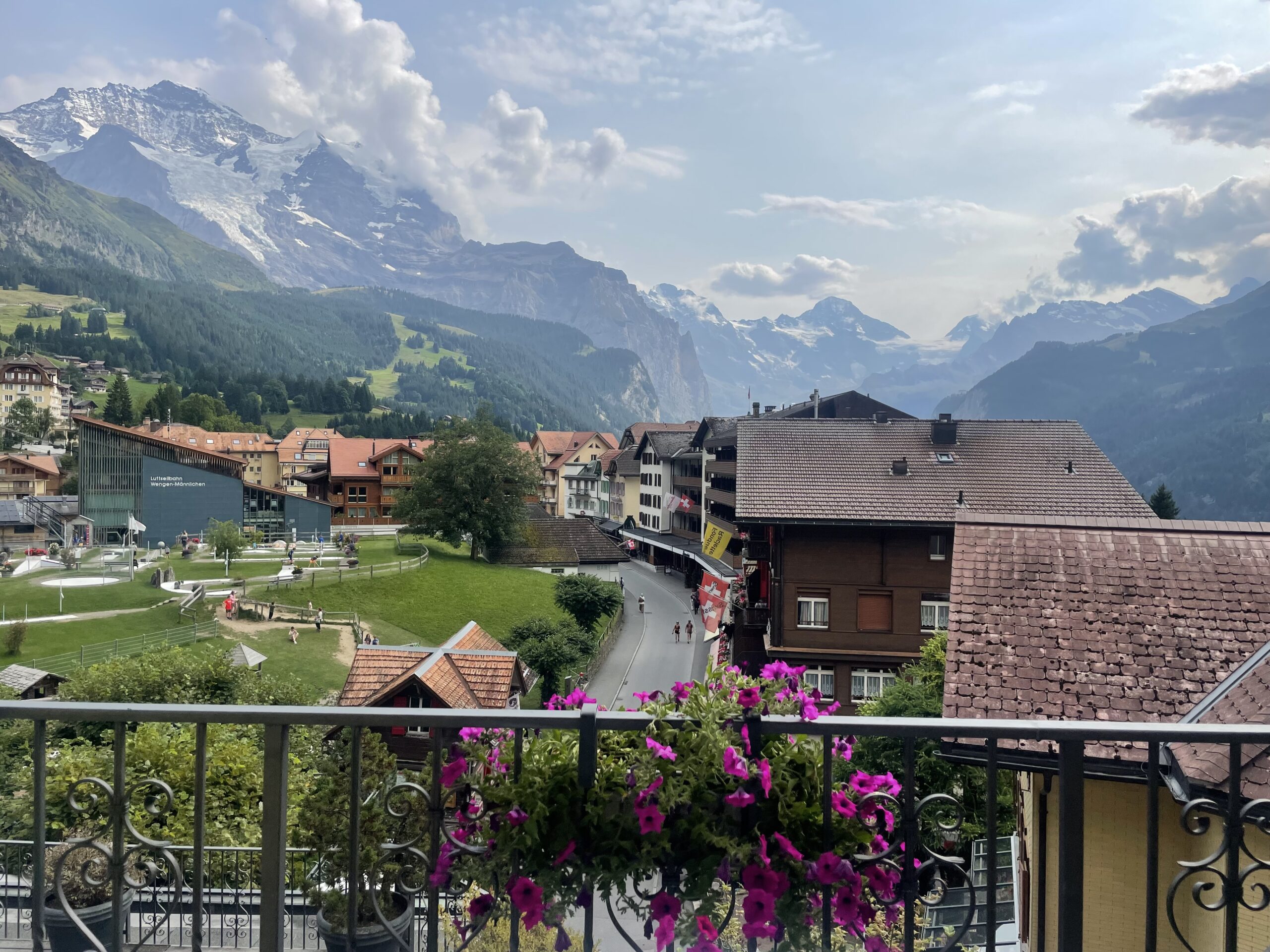
Embark on the Via Alpina from Meiringen to Gstaad, a spectacular alpine journey through some of Switzerland’s most iconic landscapes. The route begins in Meiringen, a gateway to the dramatic Bernese Oberland, before descending into Grindelwald, framed by the legendary Eiger, Mönch, and Jungfrau peaks.
Legend says the Eiger is the threatening ogre, the Mönch the calm monk, and the Jungfrau the serene young woman watching over them. Together, they’ve inspired generations of mountaineers and travellers, offering dramatic peaks, breathtaking views, and a glimpse into the heart of the Bernese Alps.
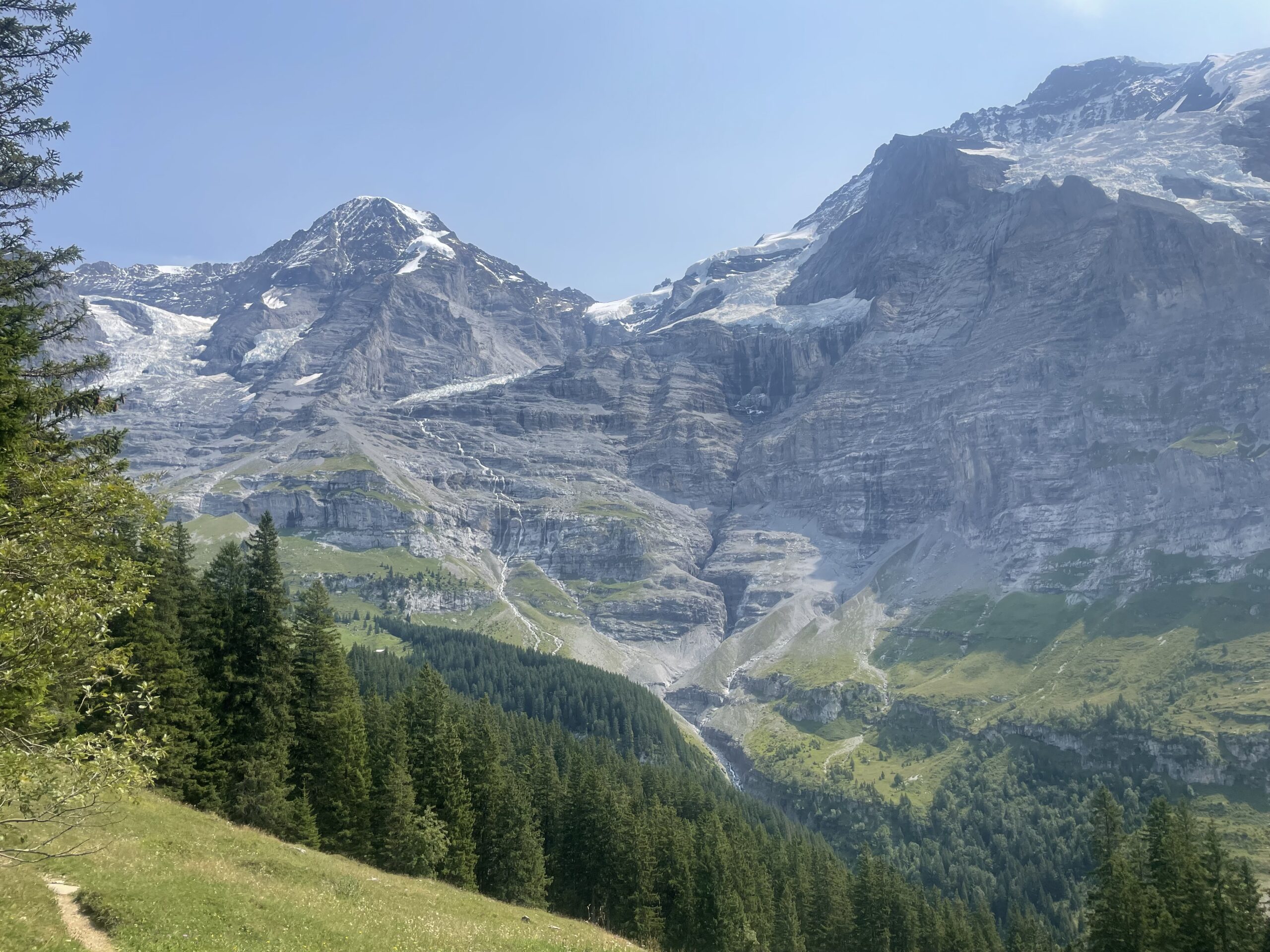
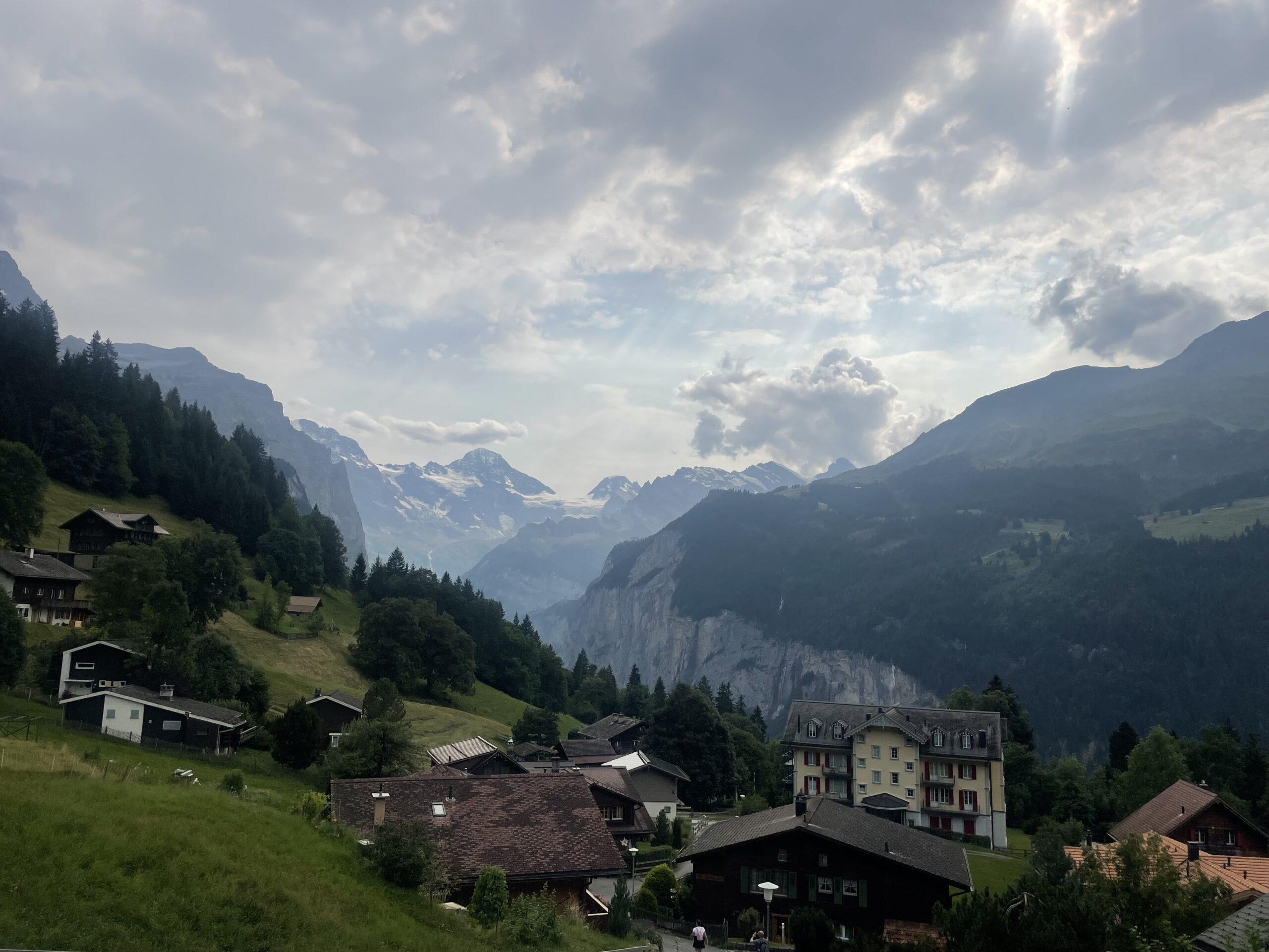
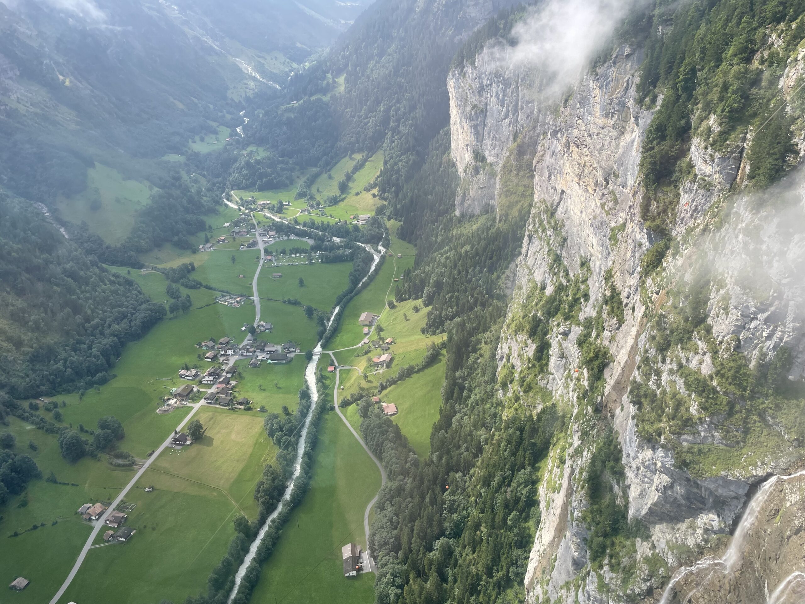
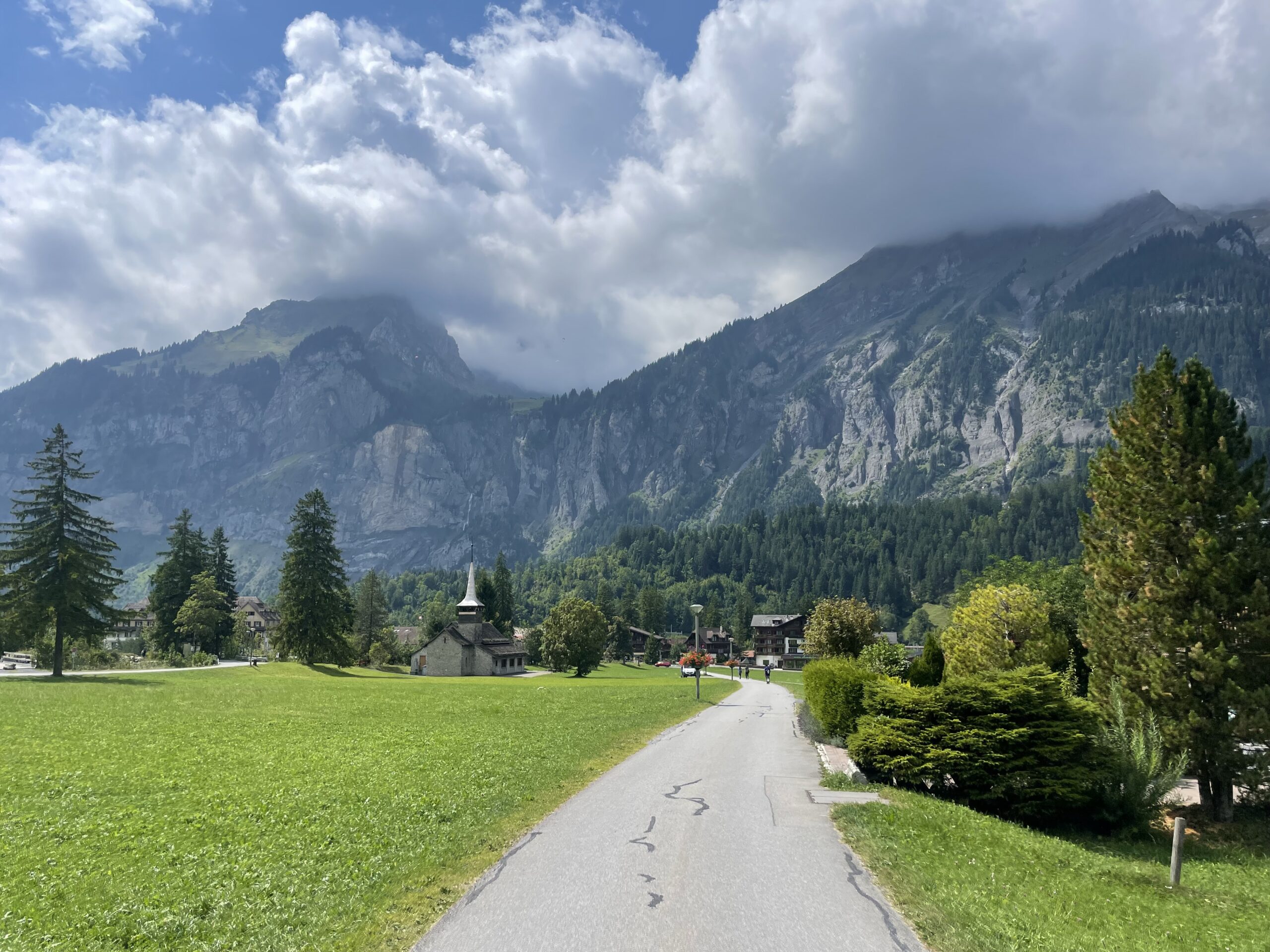
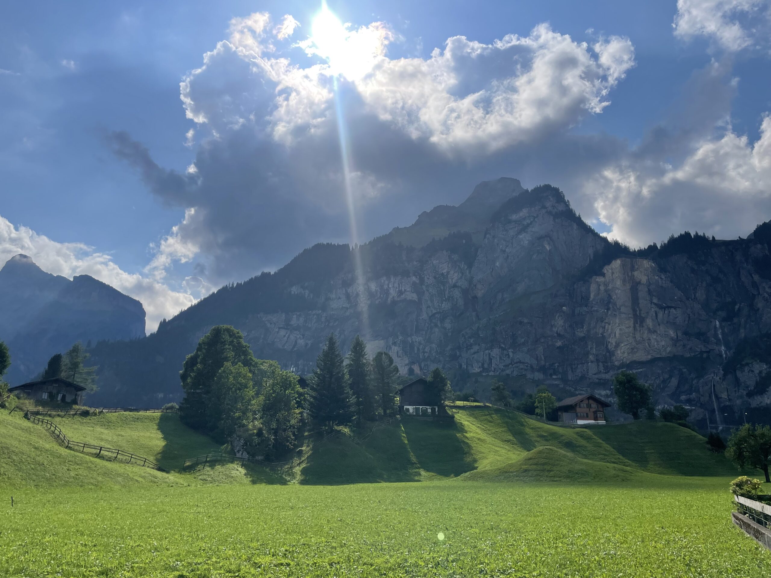
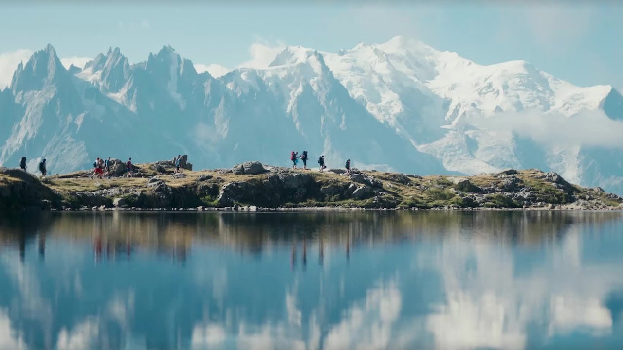
From there, it winds through the Lauterbrunnen Valley, passing the charming villages of Wengen and Mürren, with towering cliffs and cascading waterfalls at every turn. With over 70 waterfalls, lush meadows, and traditional alpine villages it feels like stepping into another world. It’s said that the valley’s dramatic scenery inspired J.R.R. Tolkien’s descriptions of Rivendell in The Lord of the Rings.
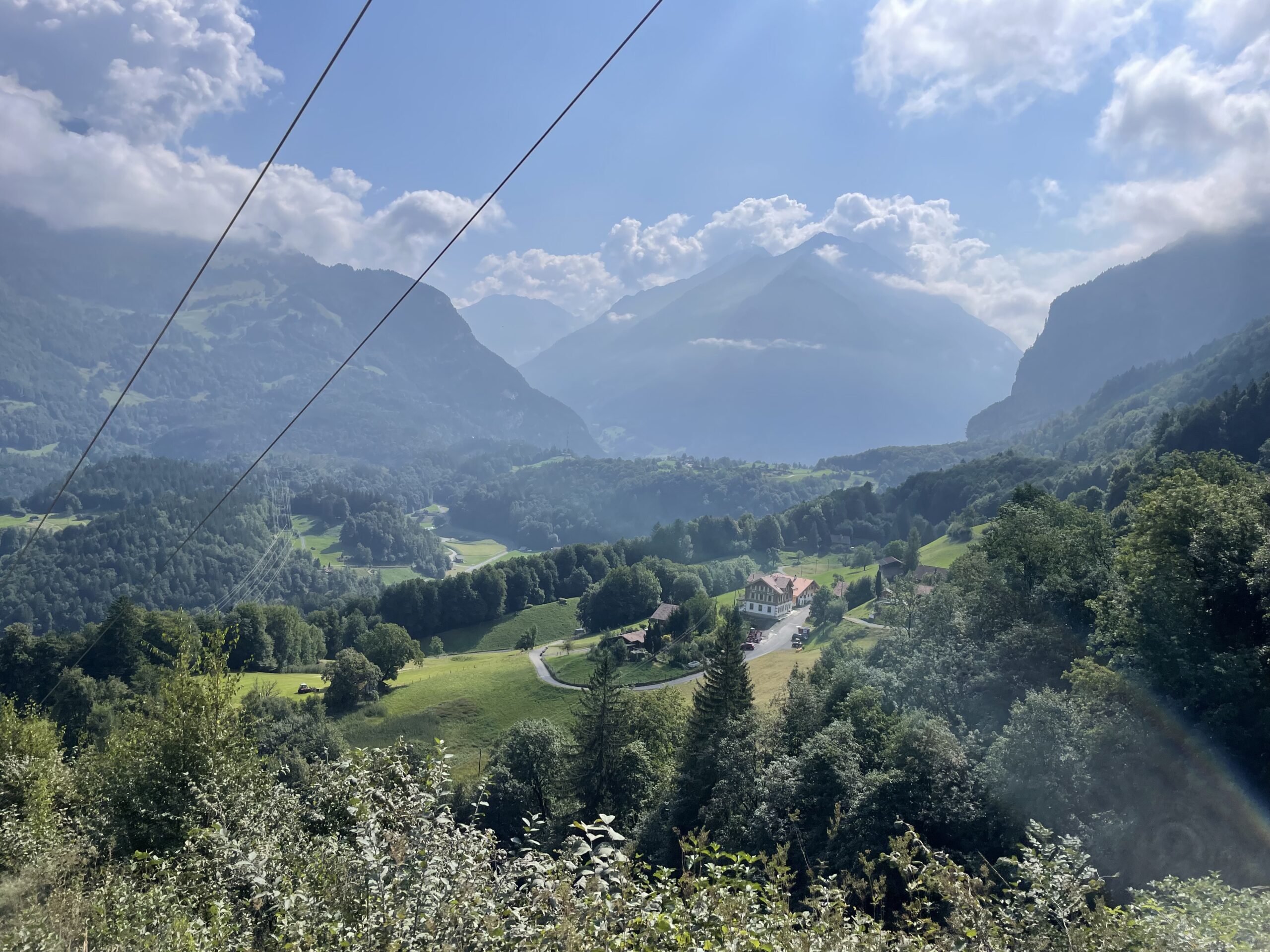
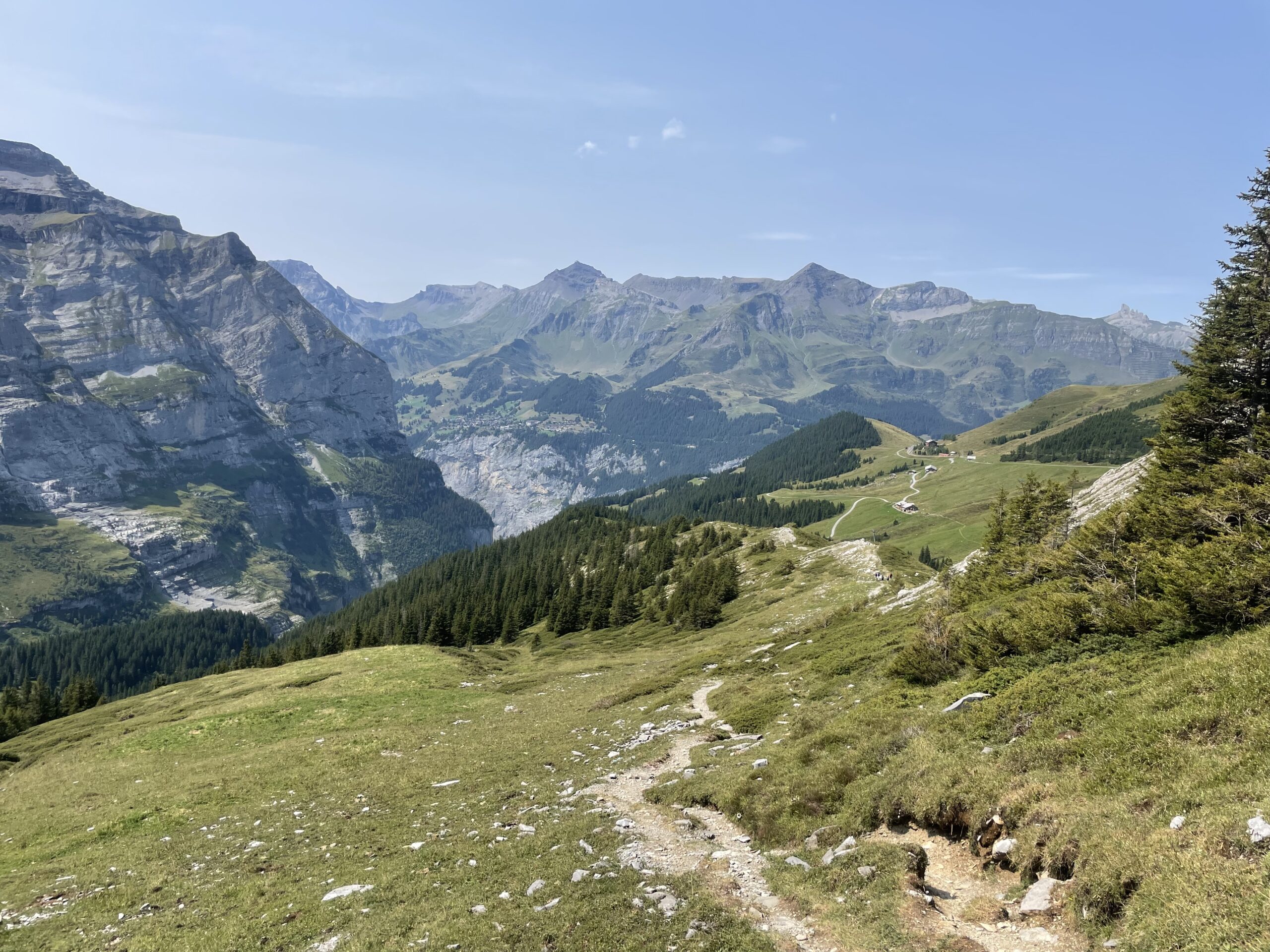
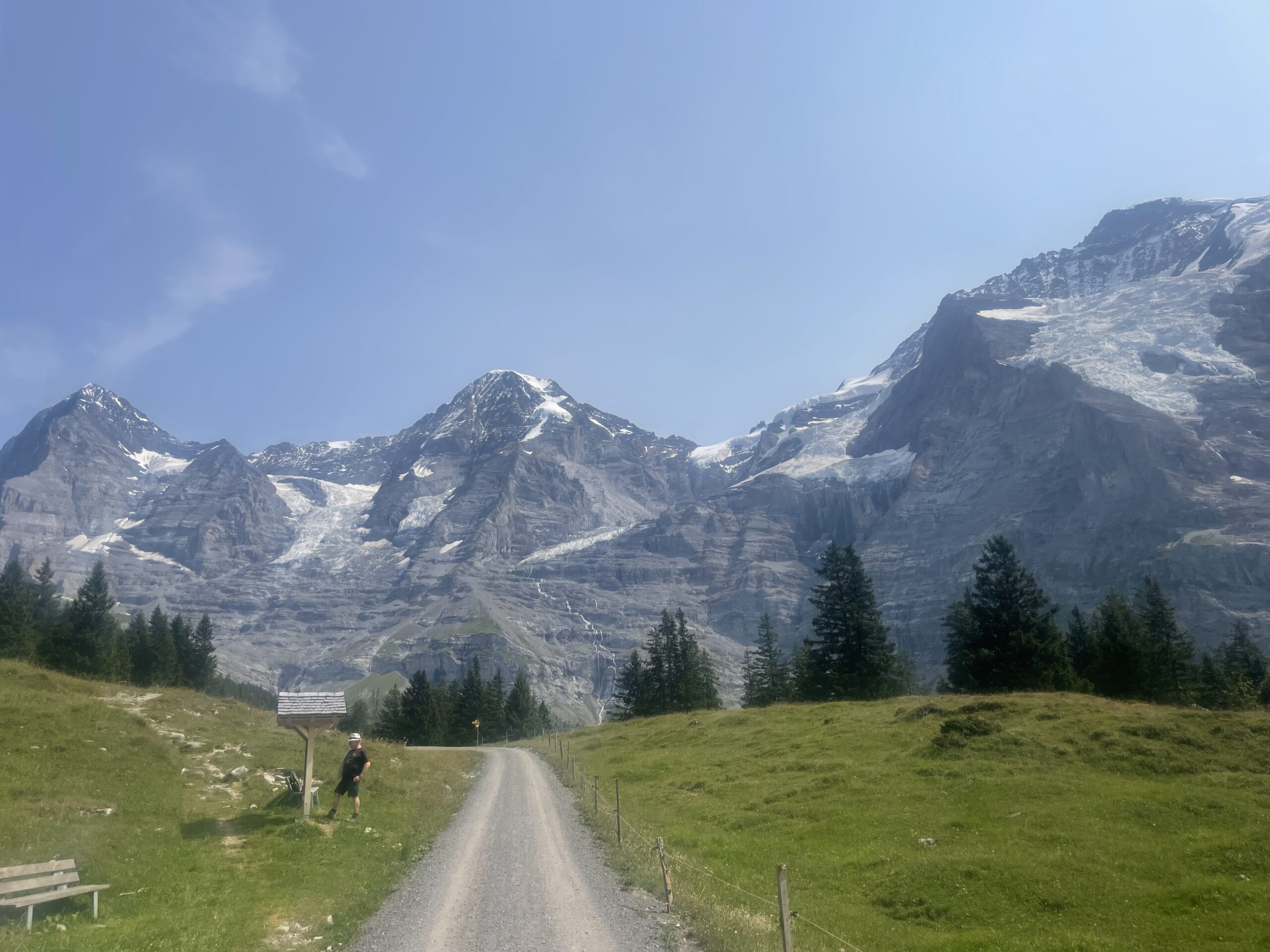
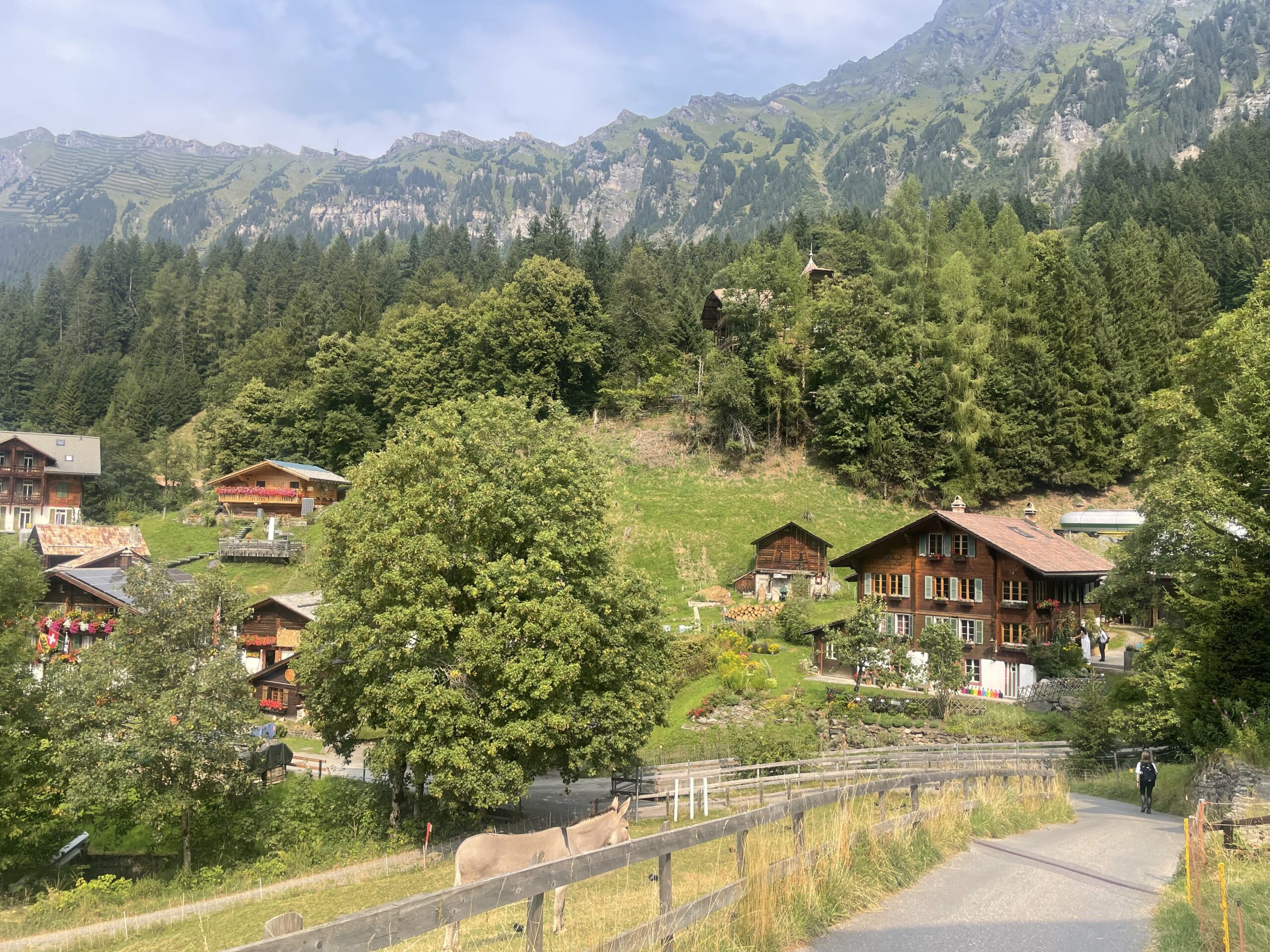
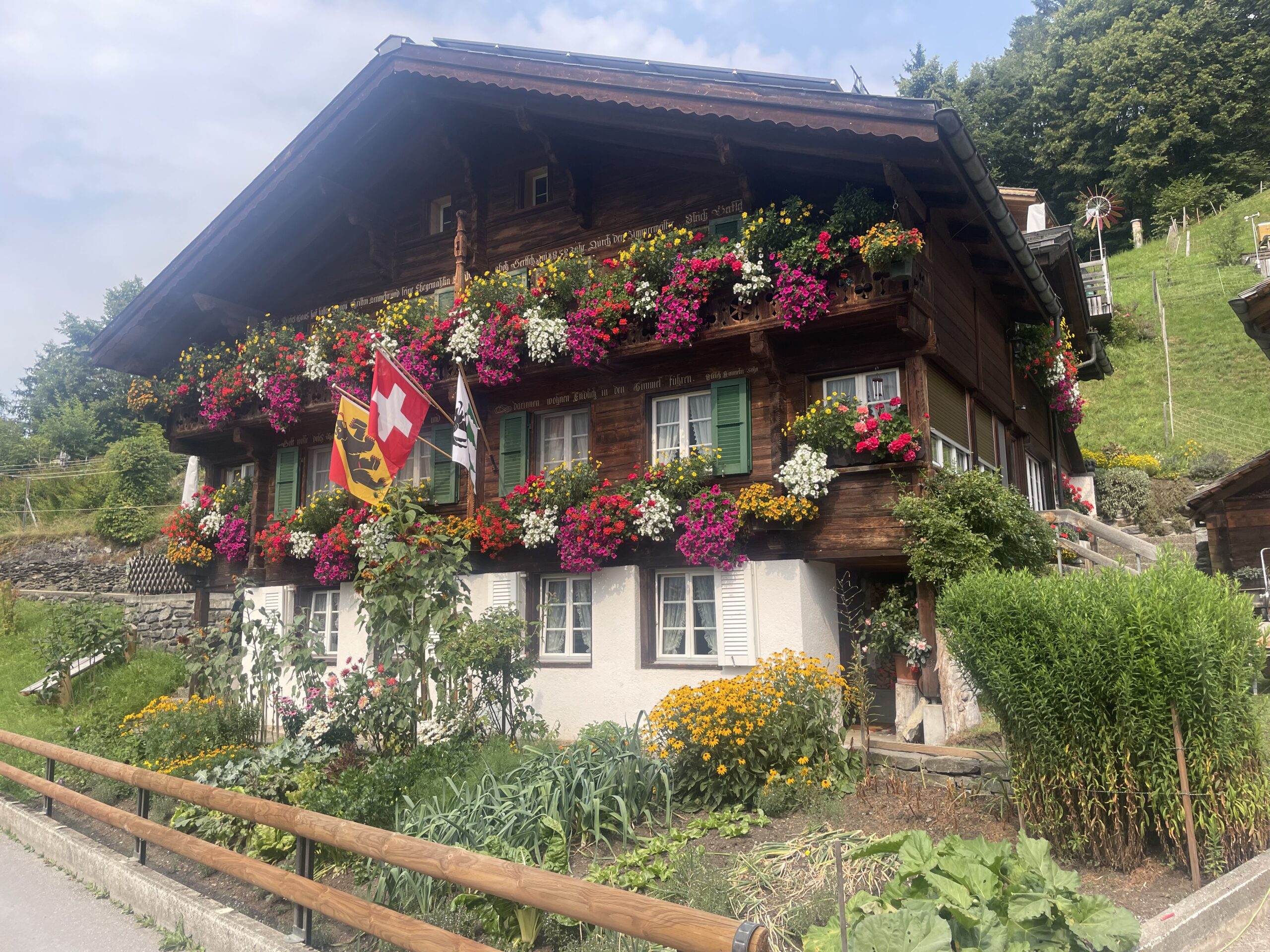
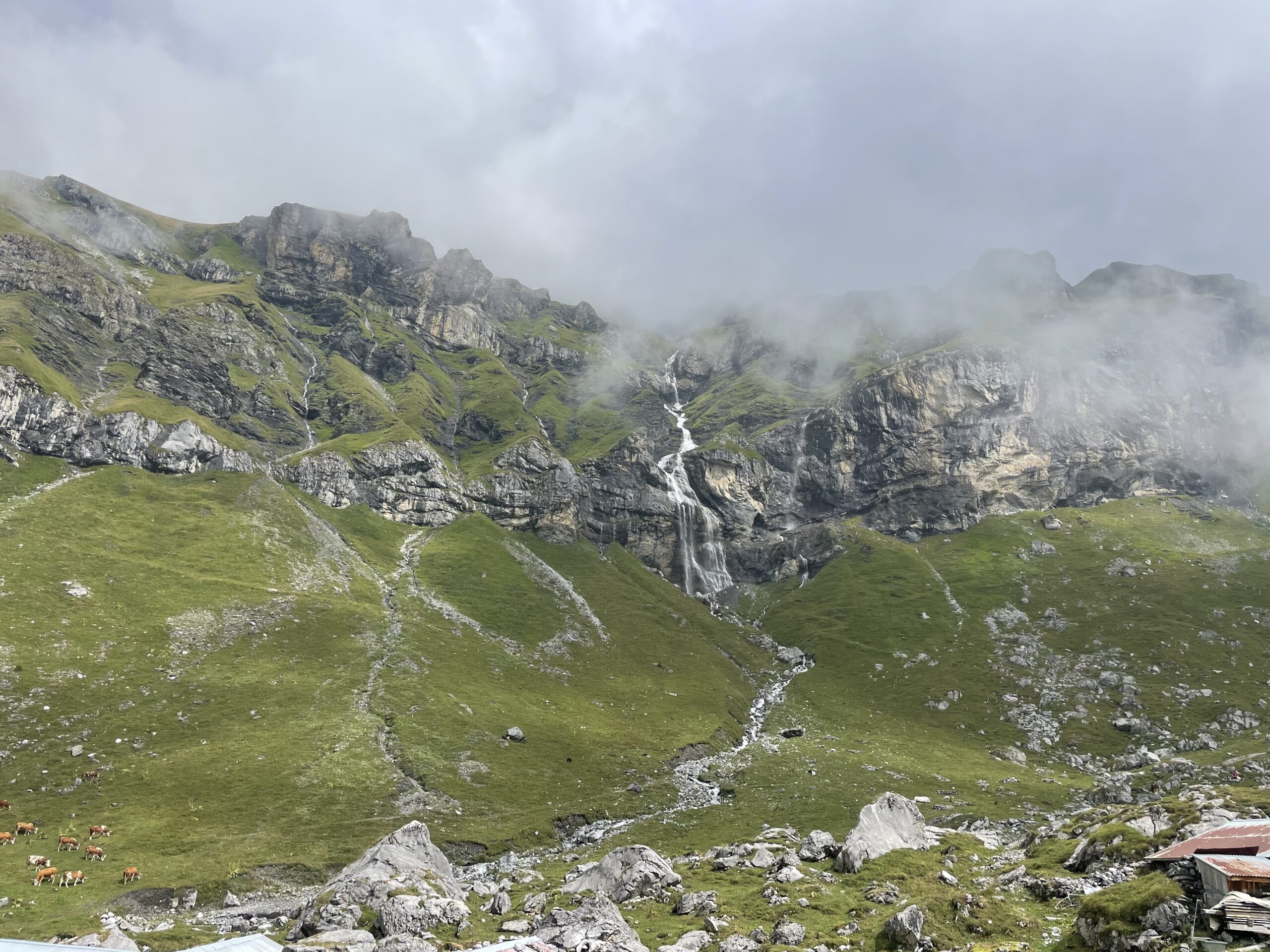
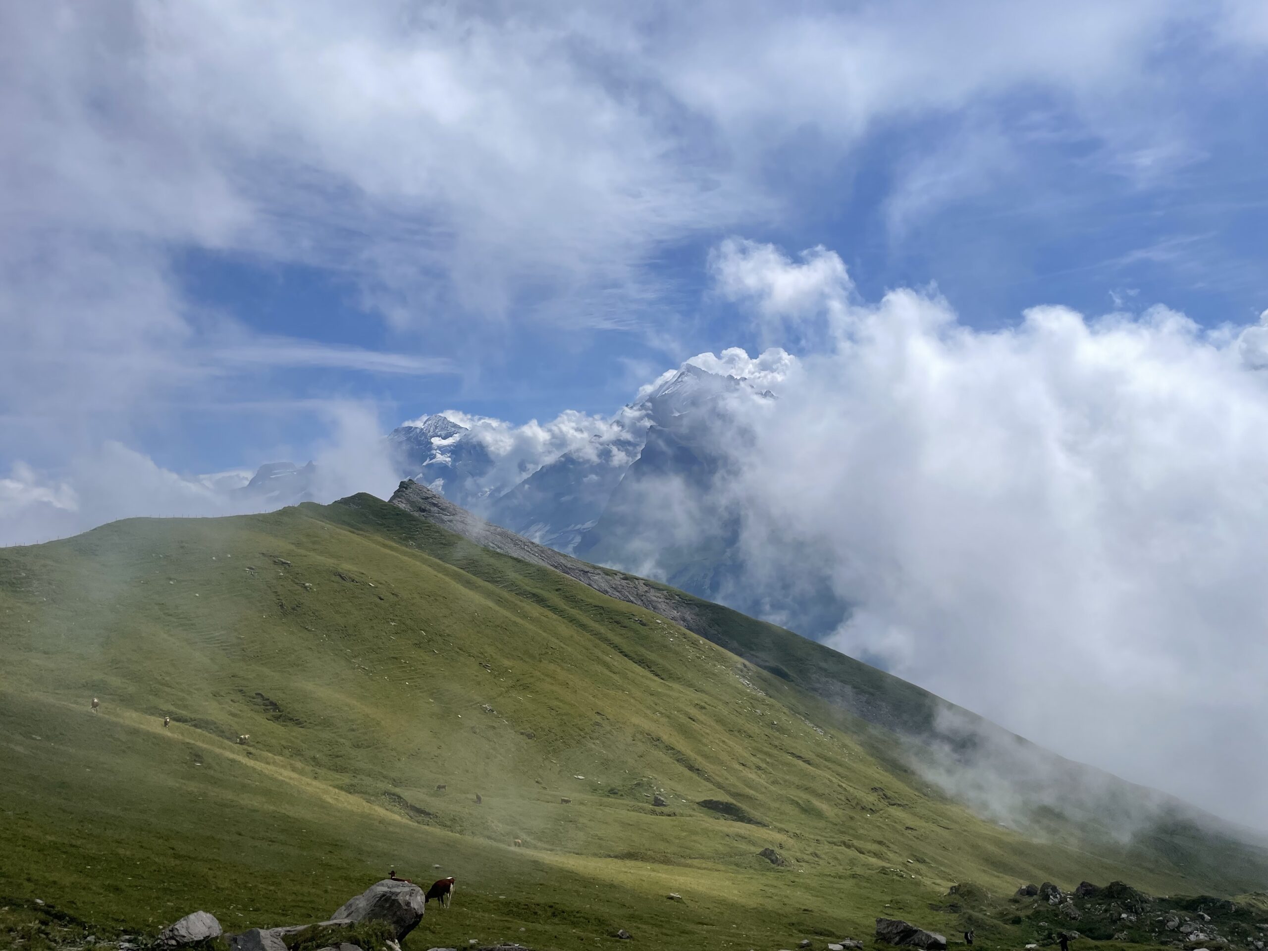
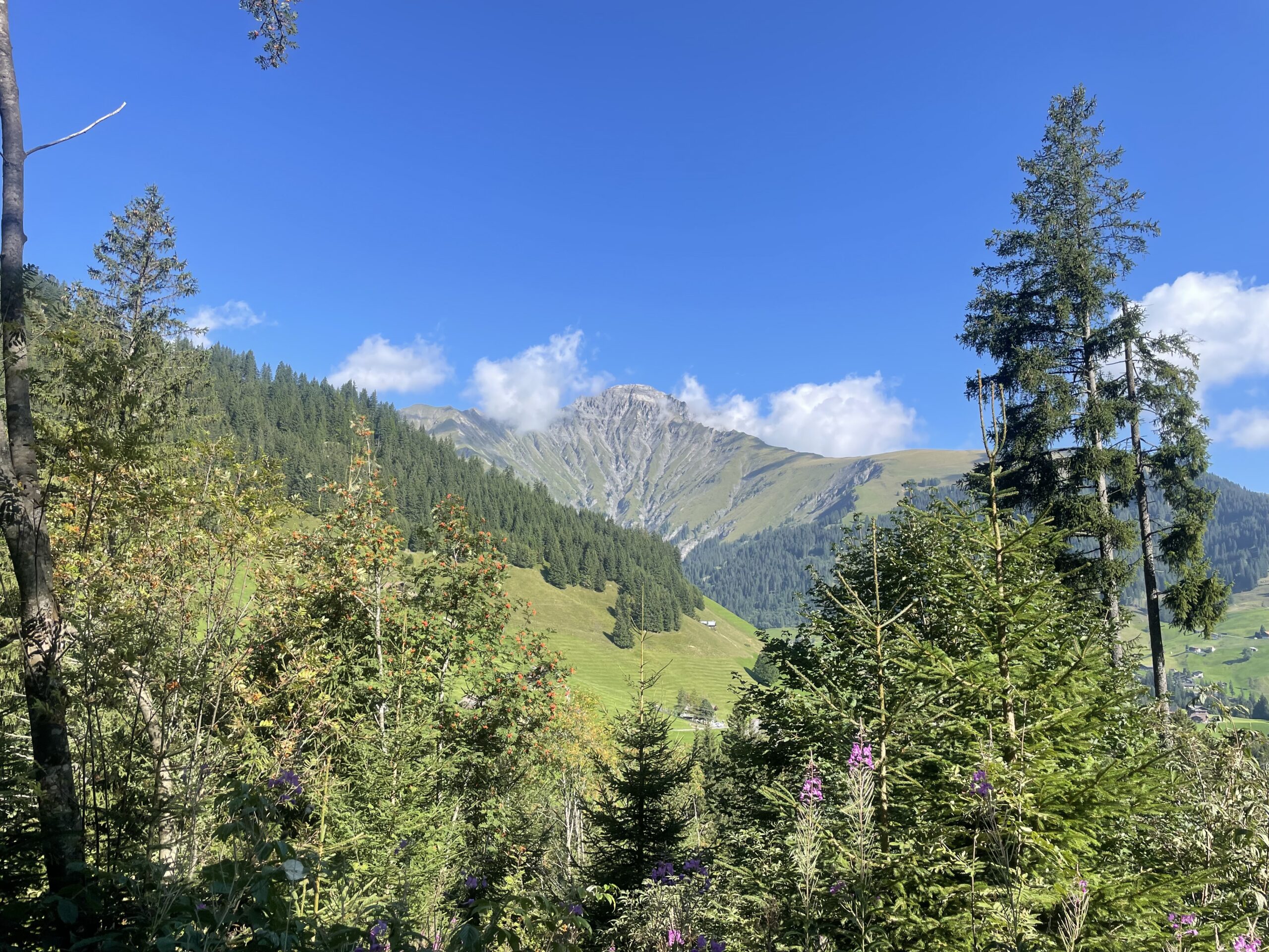
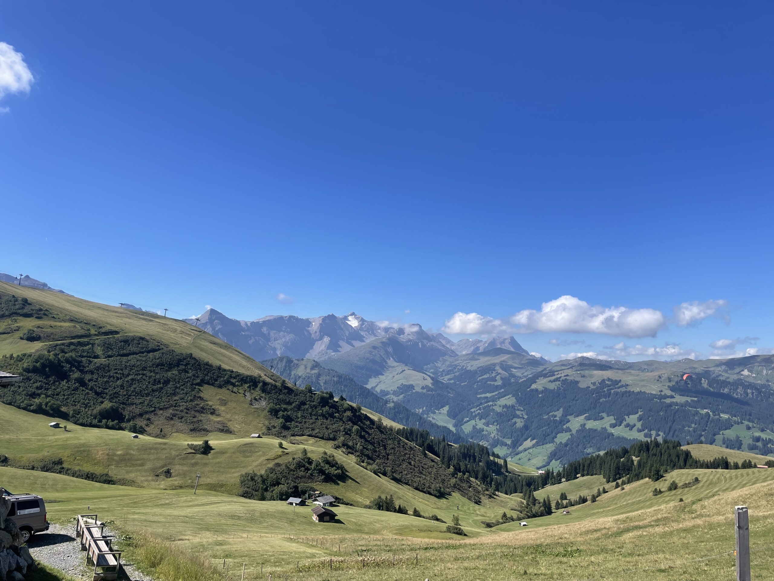
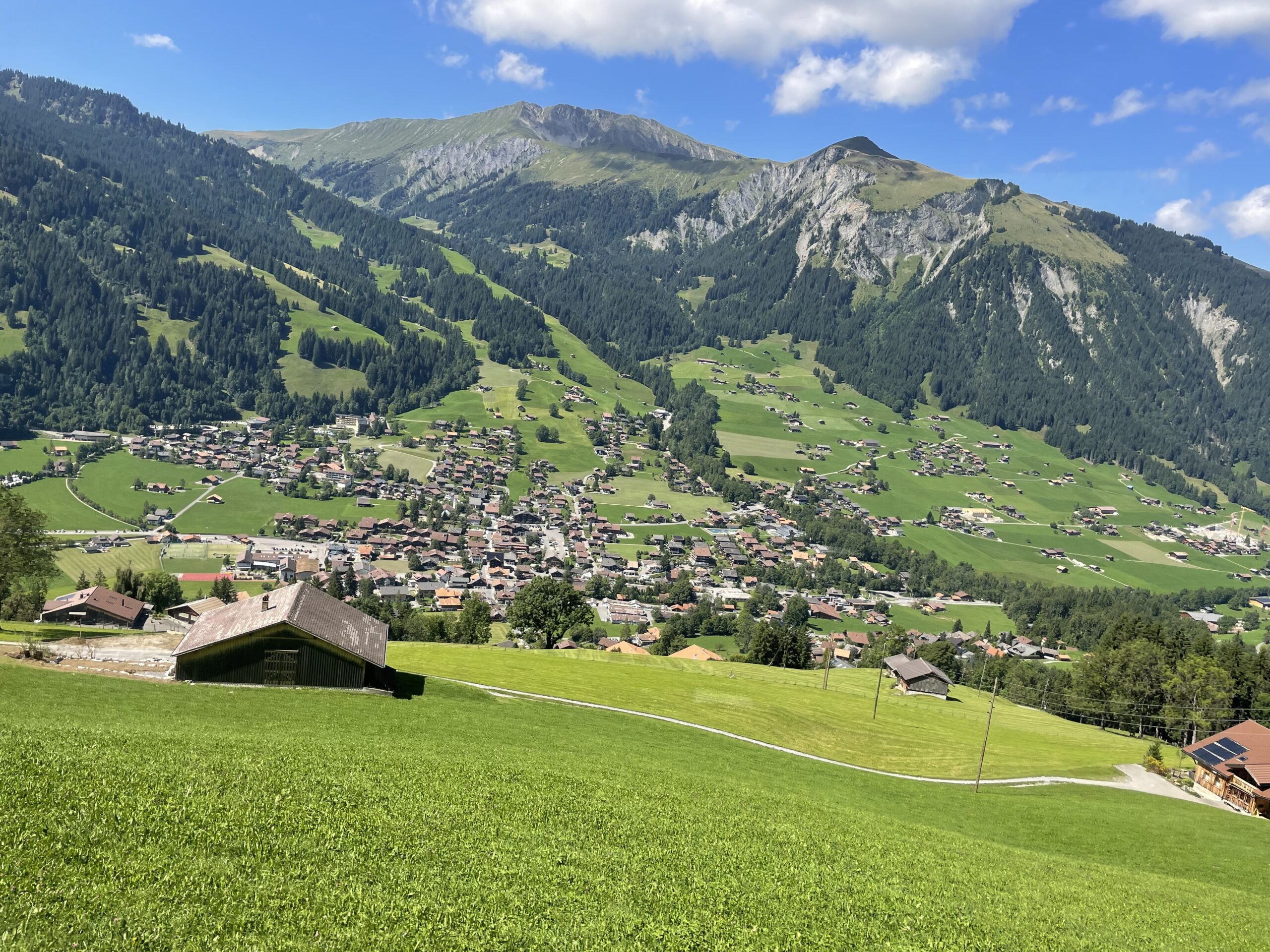
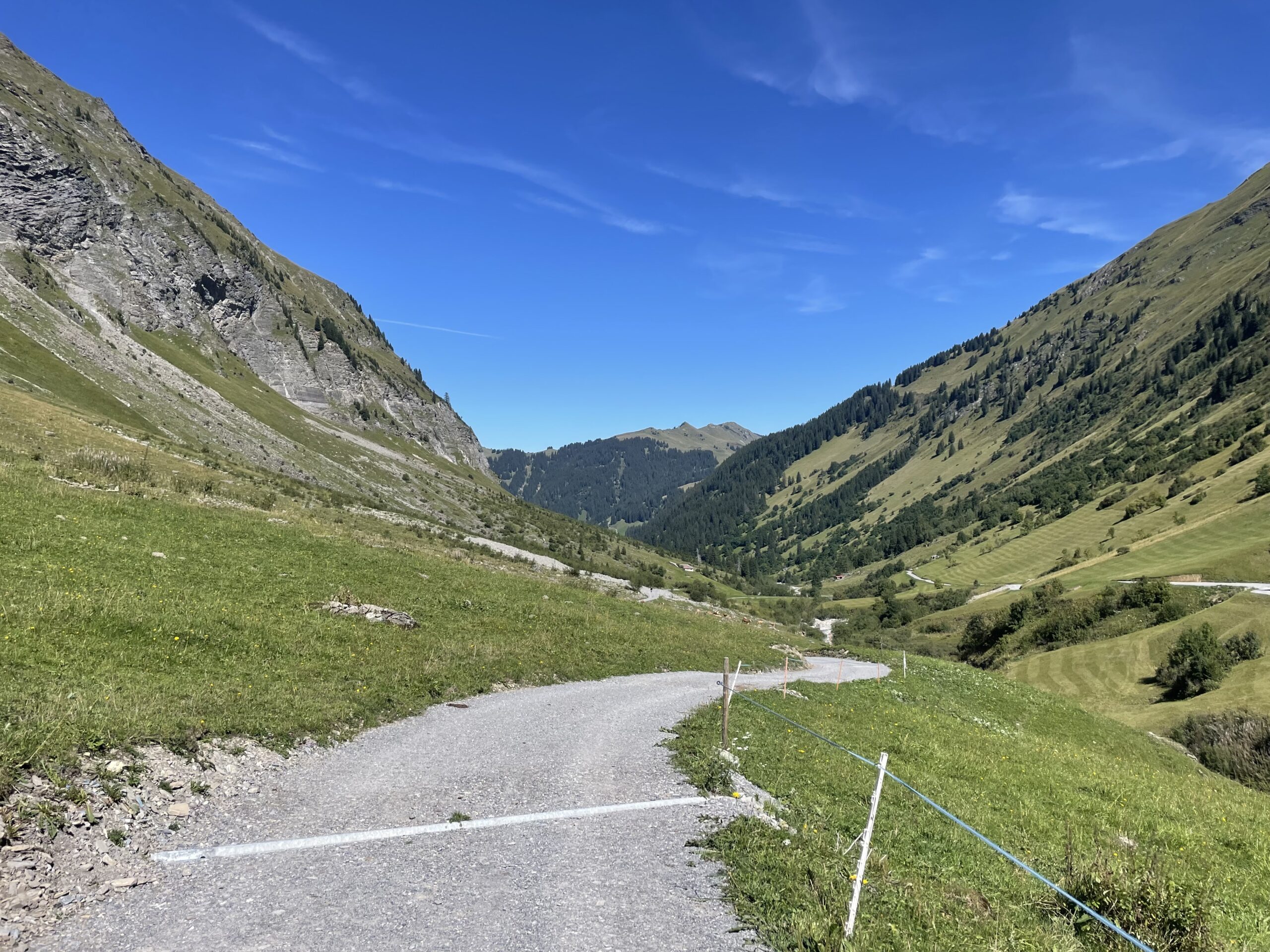
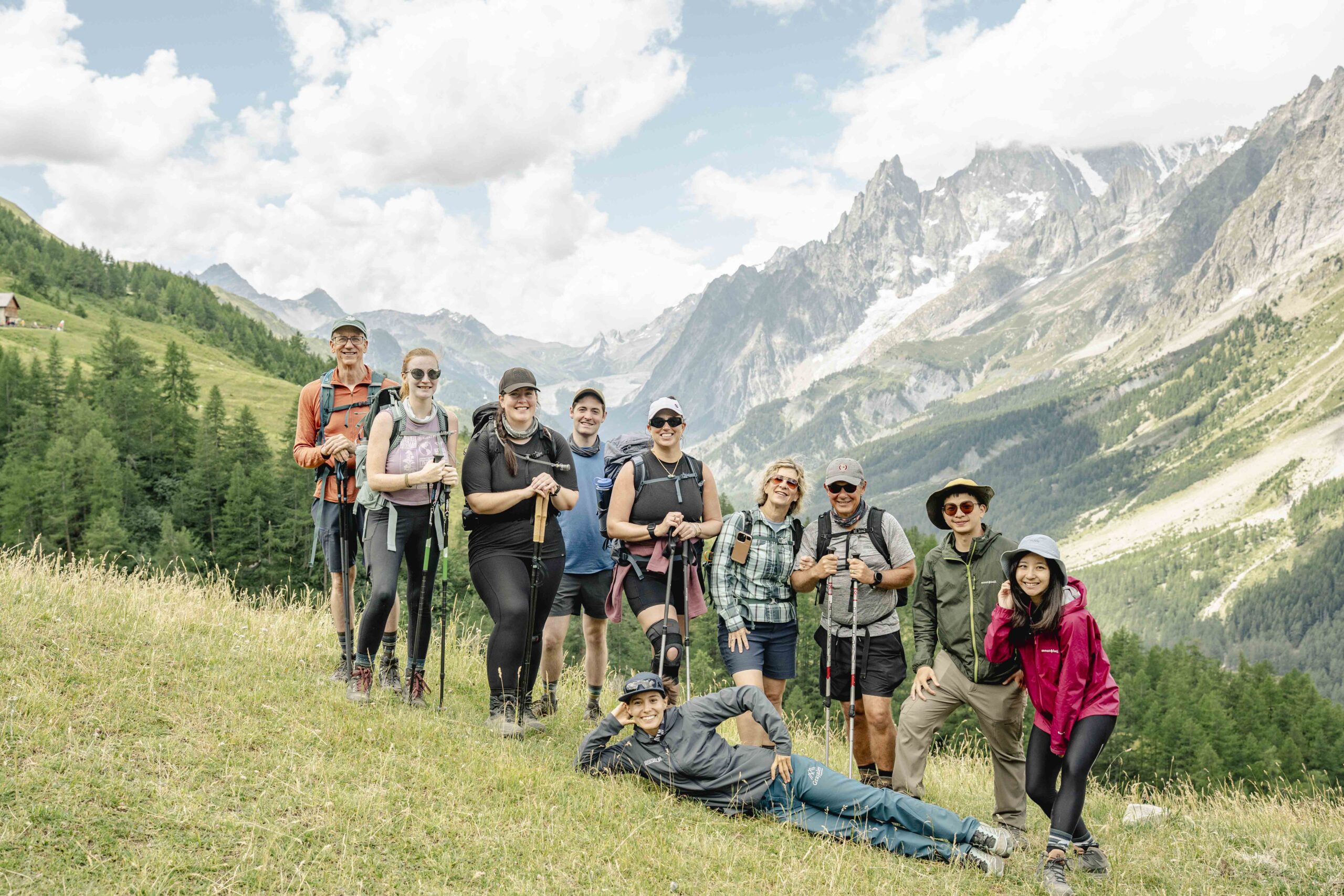
Continuing onward, the trail leads through the peaceful alpine regions of Kandersteg, Adelboden, and Lenk, with rolling meadows, alpine dairy farms, and Swiss chalets. The journey concludes in Gstaad, a picture-perfect alpine town. Along the way, hikers are treated to authentic alpine culture, stunning scenery, and a chance to experience the heart of Switzerland.
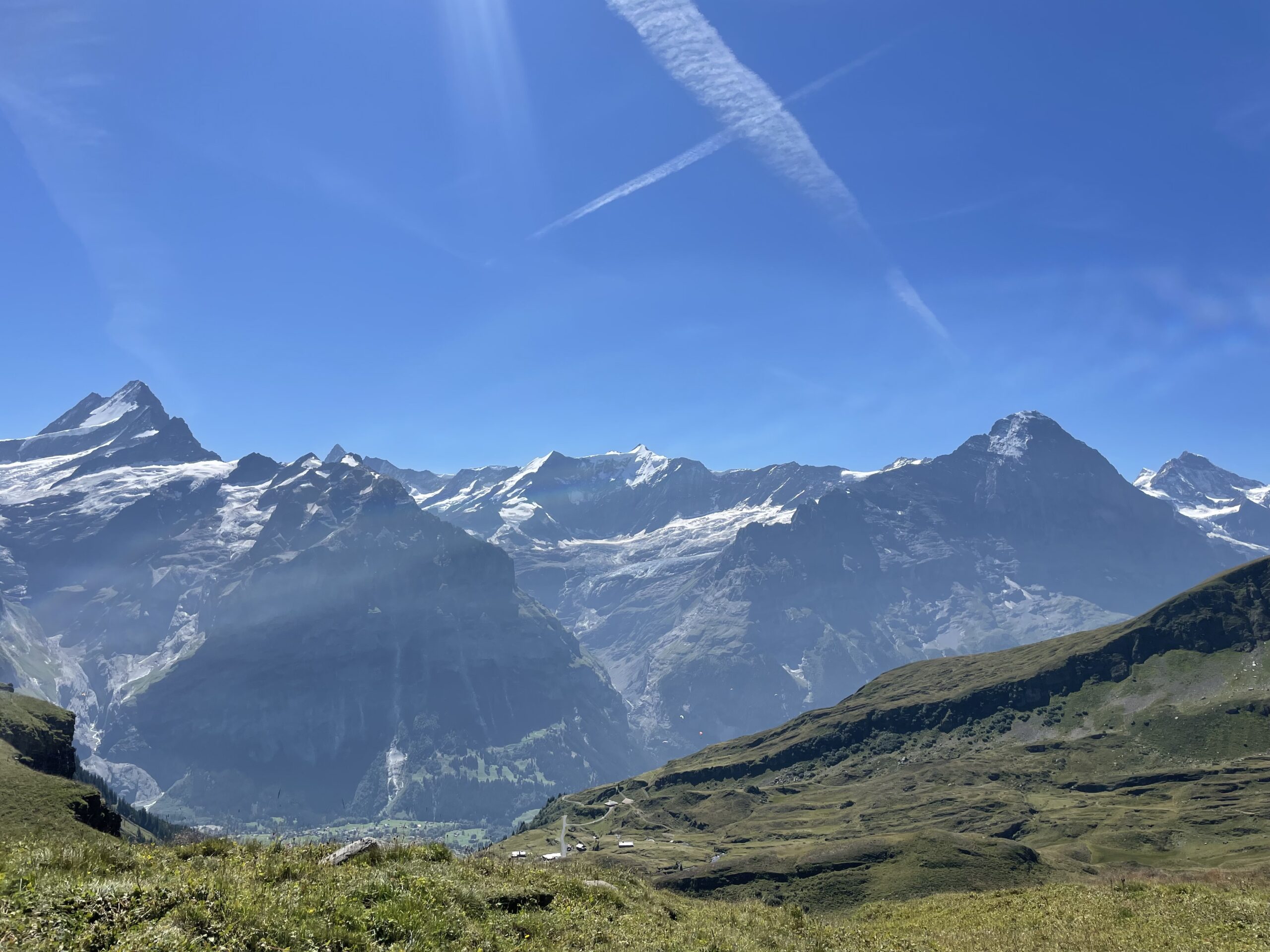
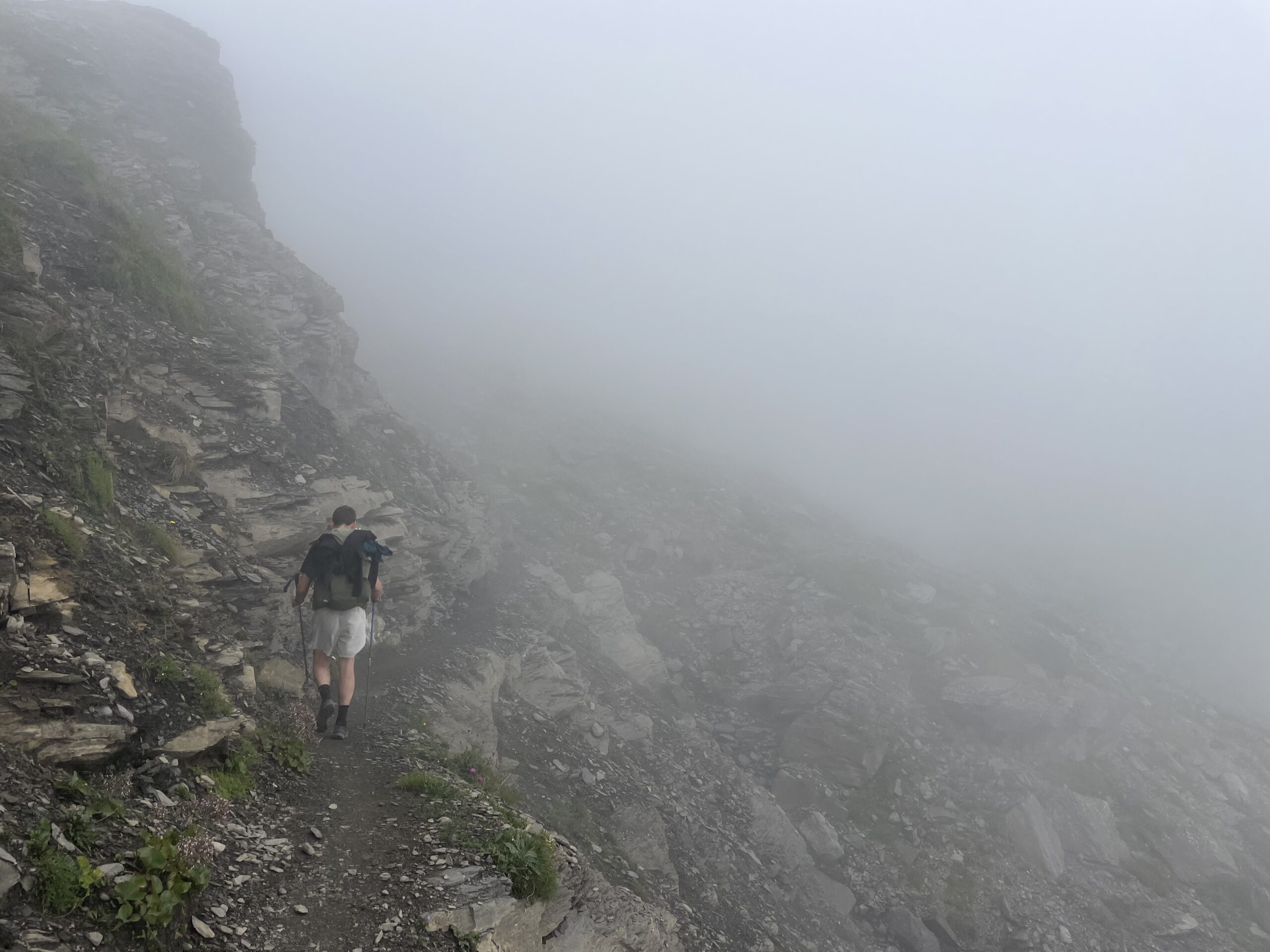
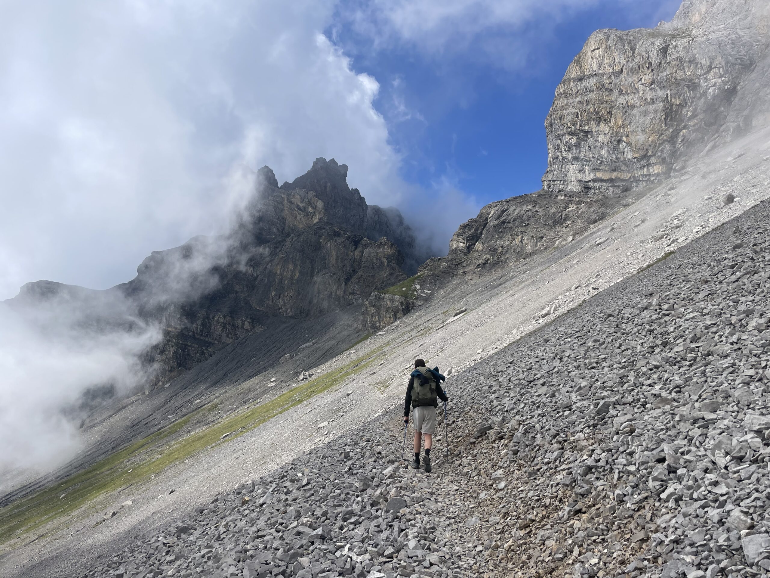
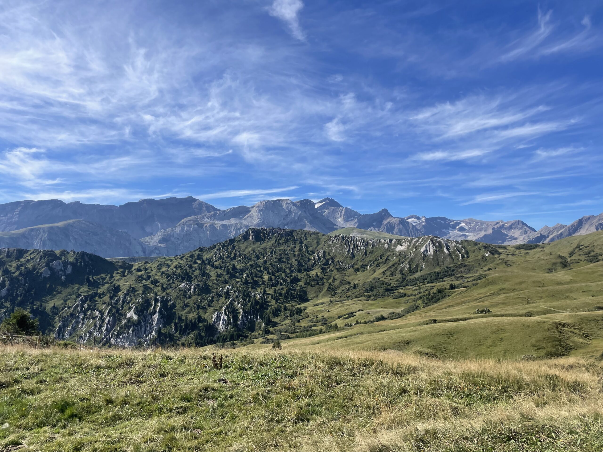
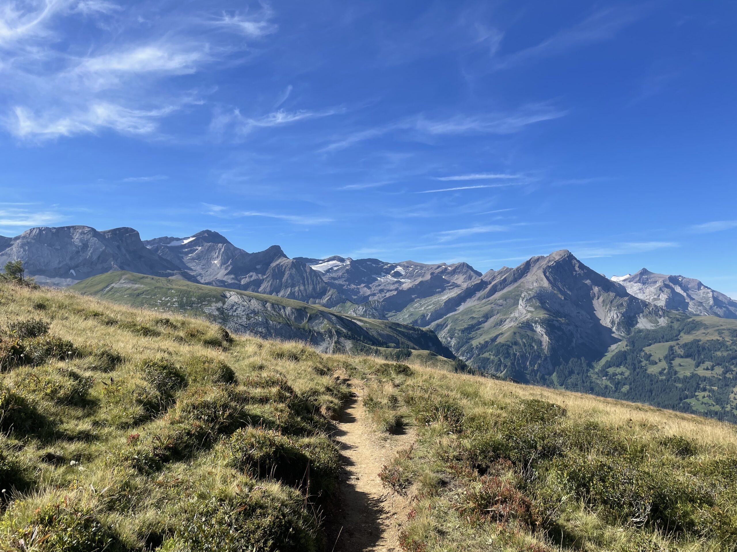
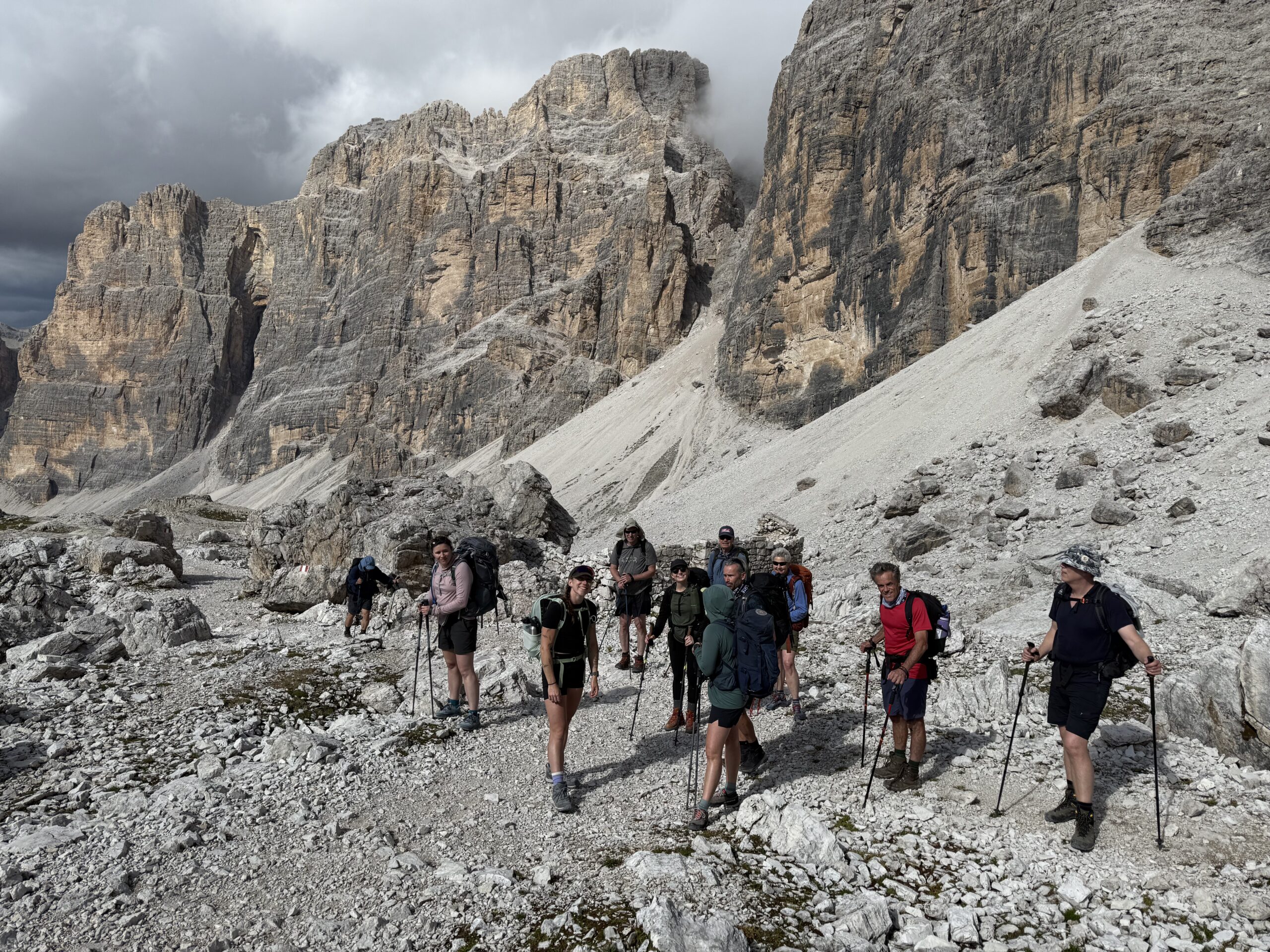
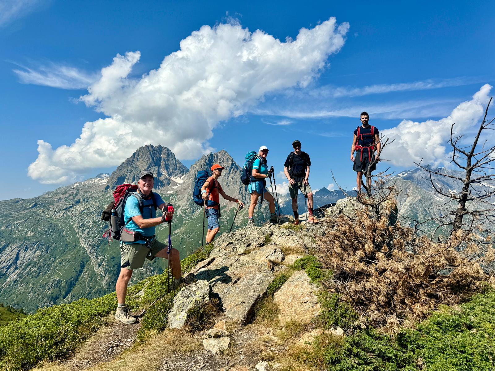
This stretch of the Via Alpina takes hikers over some classic alpine passes: Sefinenfurgge, Hohturli, and Bunderchrinde. Each offers steep climbs, rocky trails, and breathtaking panoramic views, rewarding those who tackle them with some of the most dramatic scenery of the Bernese Alps.
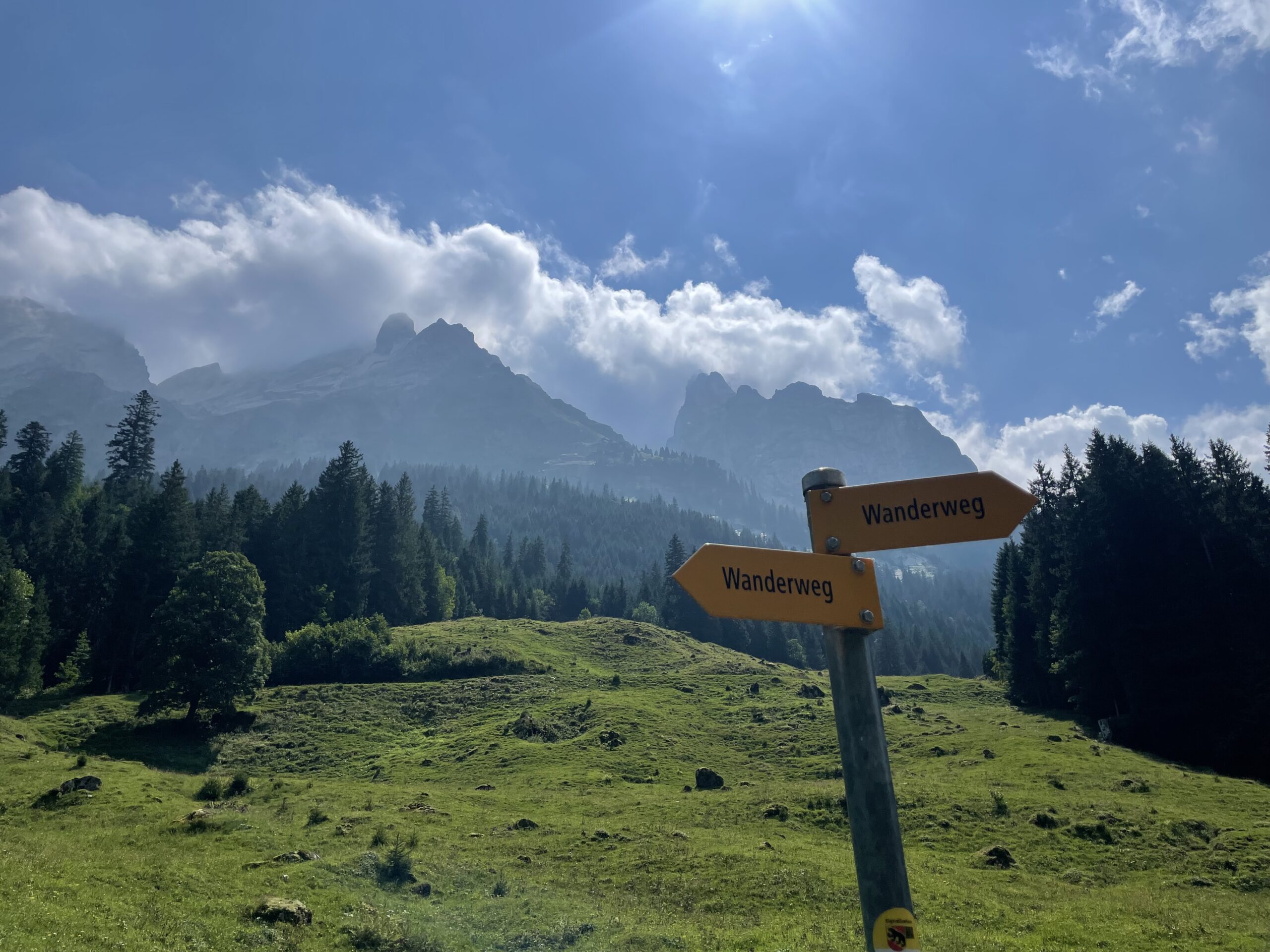
The Via Alpina trail itself features a mix of well-marked mountain paths, forest tracks, and occasional rocky sections, with moderate climbs and descents. Hikers of moderate to high fitness will enjoy the full experience, but there are plenty of options along the way to save distance or skip climbs using mountain trains, gondolas, or local buses. This makes the route flexible for both ambitious trekkers and those who prefer a more relaxed pace.
Want to help shape the future of epic mountain experiences? Join our Trailblazers crew — test new routes, share your feedback, and be part of our inner circle! Find out more here.

Learn more. Download our guide here.
DOWNLOAD PDFEnter your details to download the Via Alpina: Bernese Oberland Traverse brochure

YOUR ADVENTURE STARTS HERE
WHO IS THIS FOR?
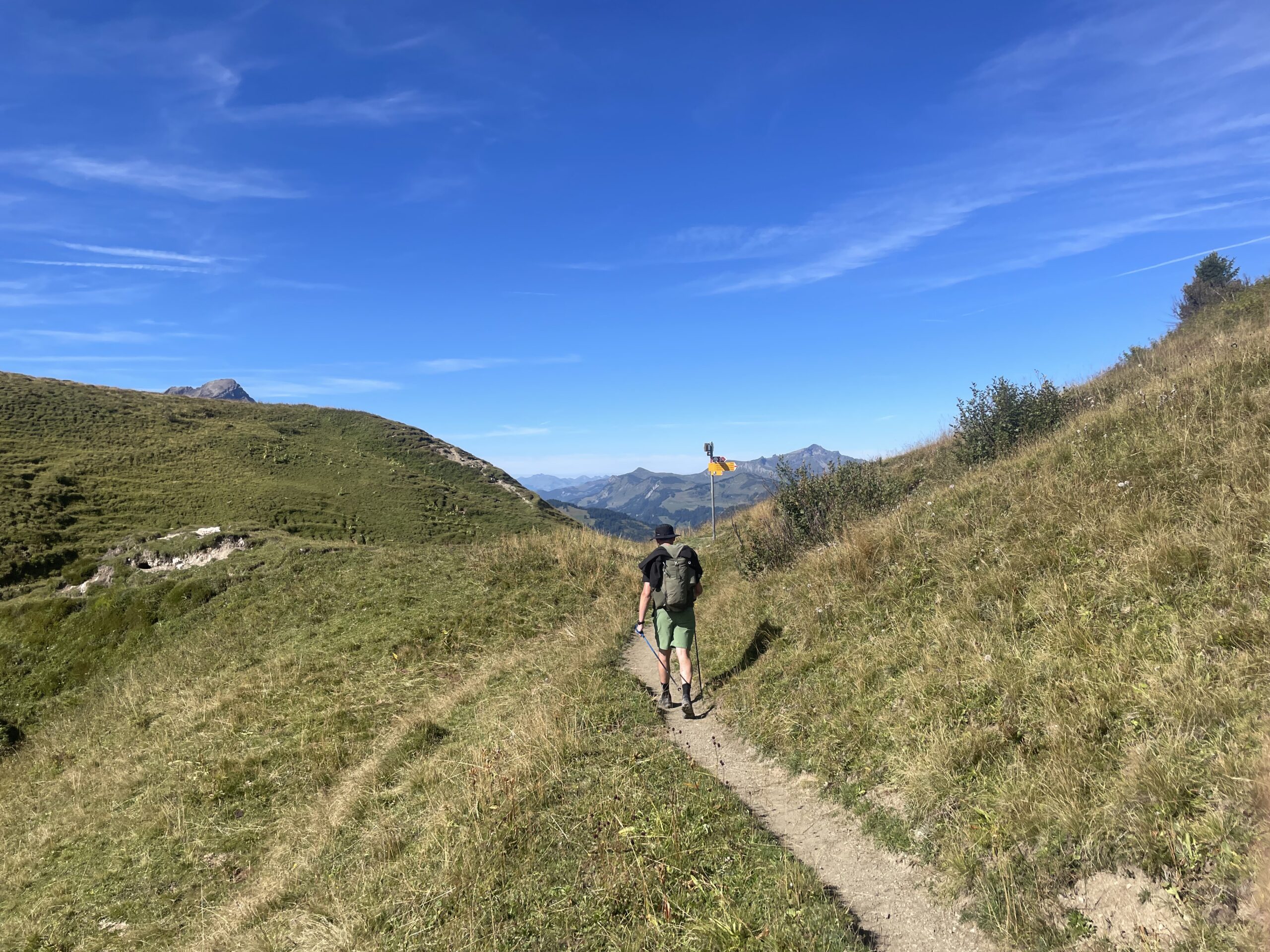
The Via Alpina from Meiringen to Gstaad is well suited to fit hillwalkers who are comfortable trekking for 9 days in a row, carrying a reasonably heavy backpack. You’ll follow mountain trails each day, with some steep ascents and descents, including the challenging Sefinenfurgge, Hohruhli, and Bunderchrinde passes, often gaining and losing over 1,000 m per day.
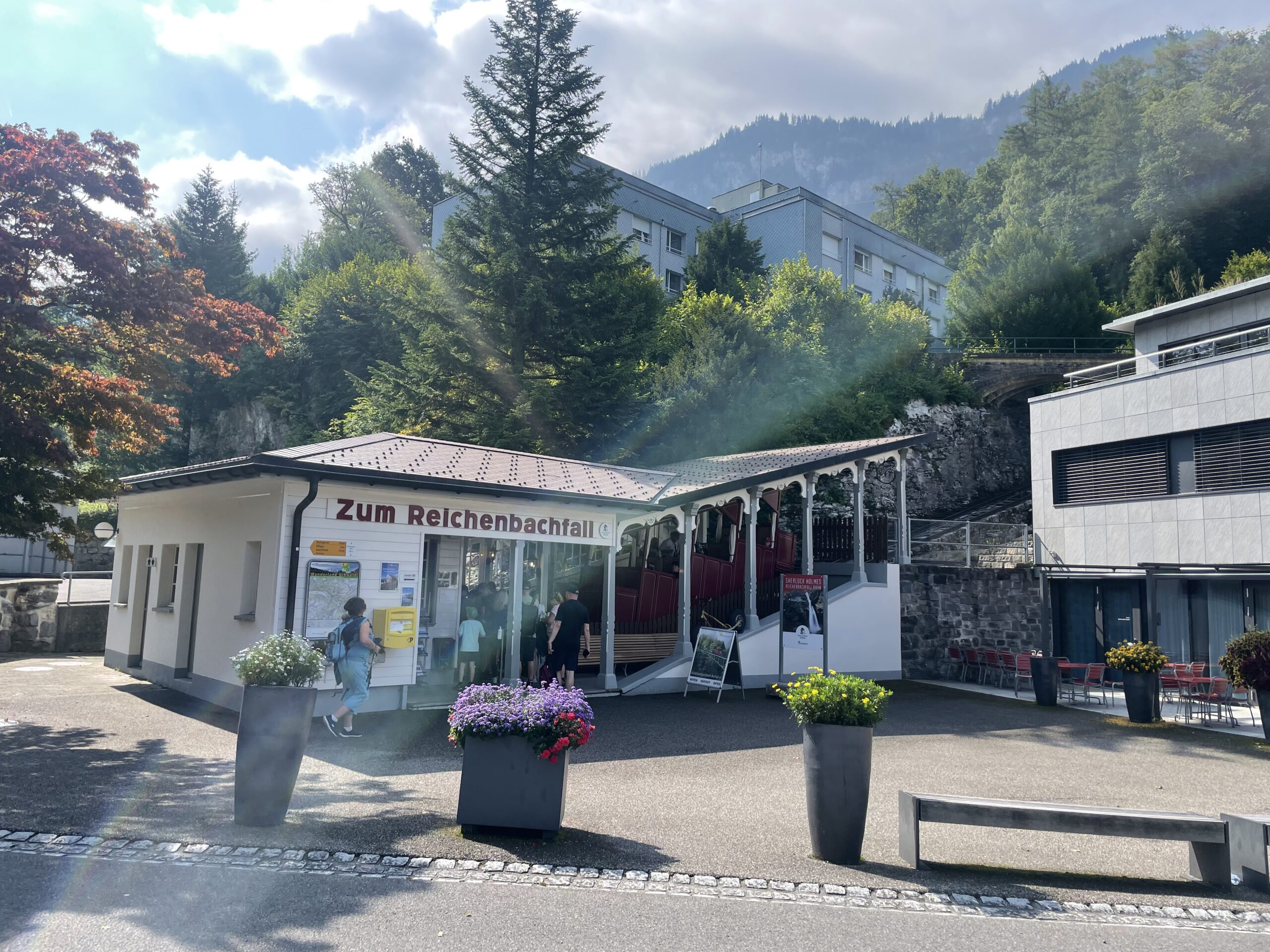
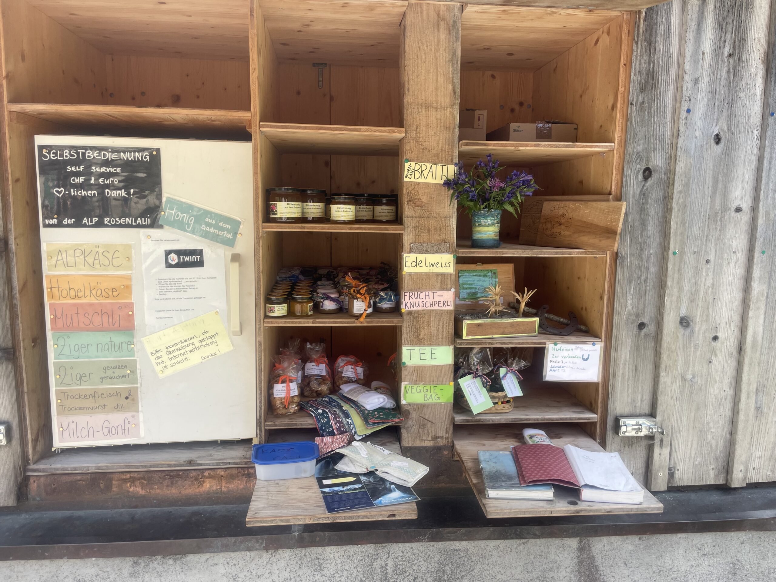
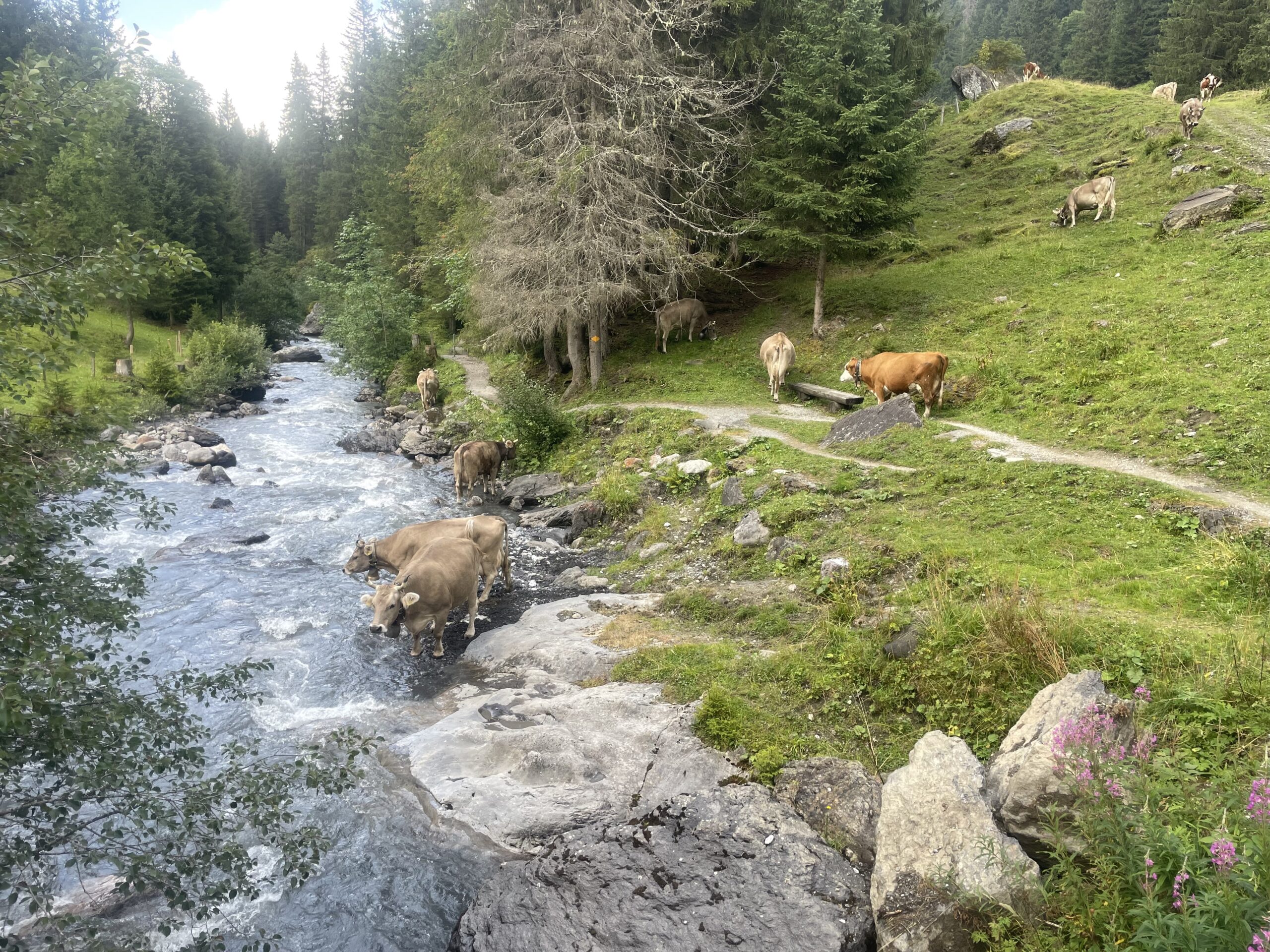
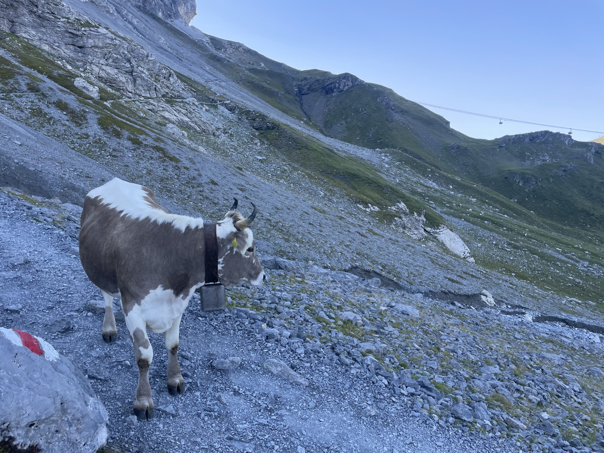
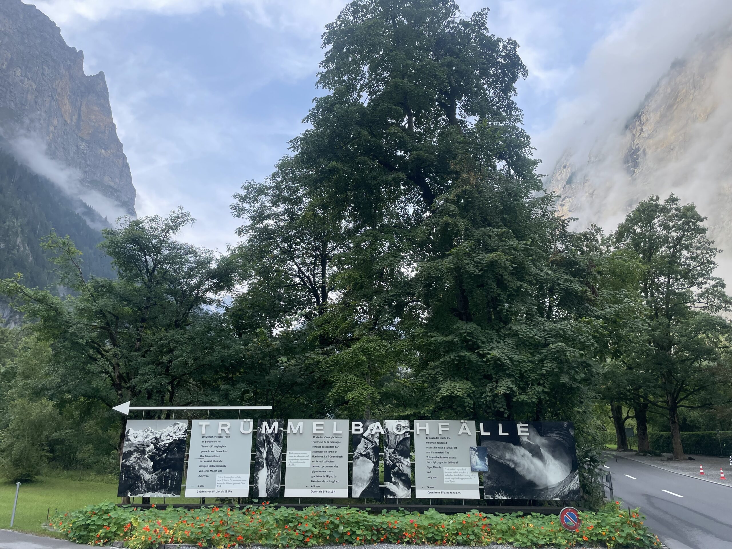
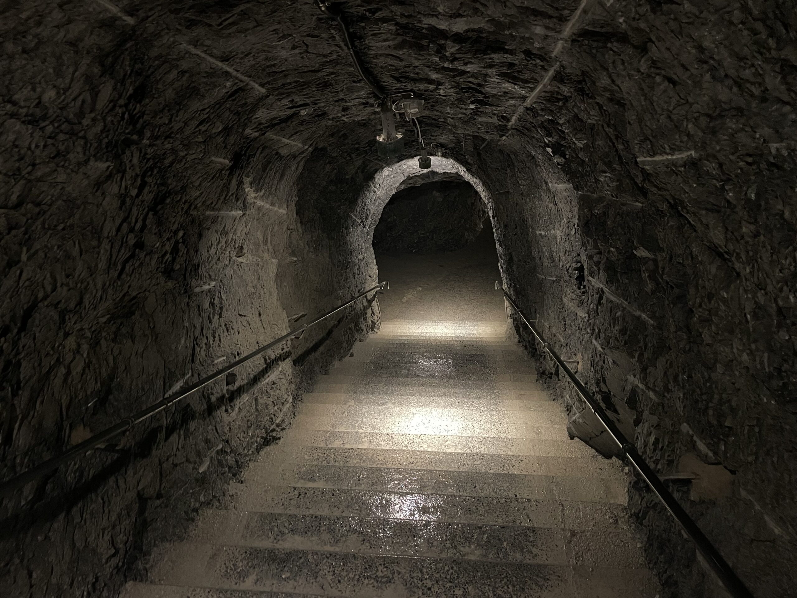
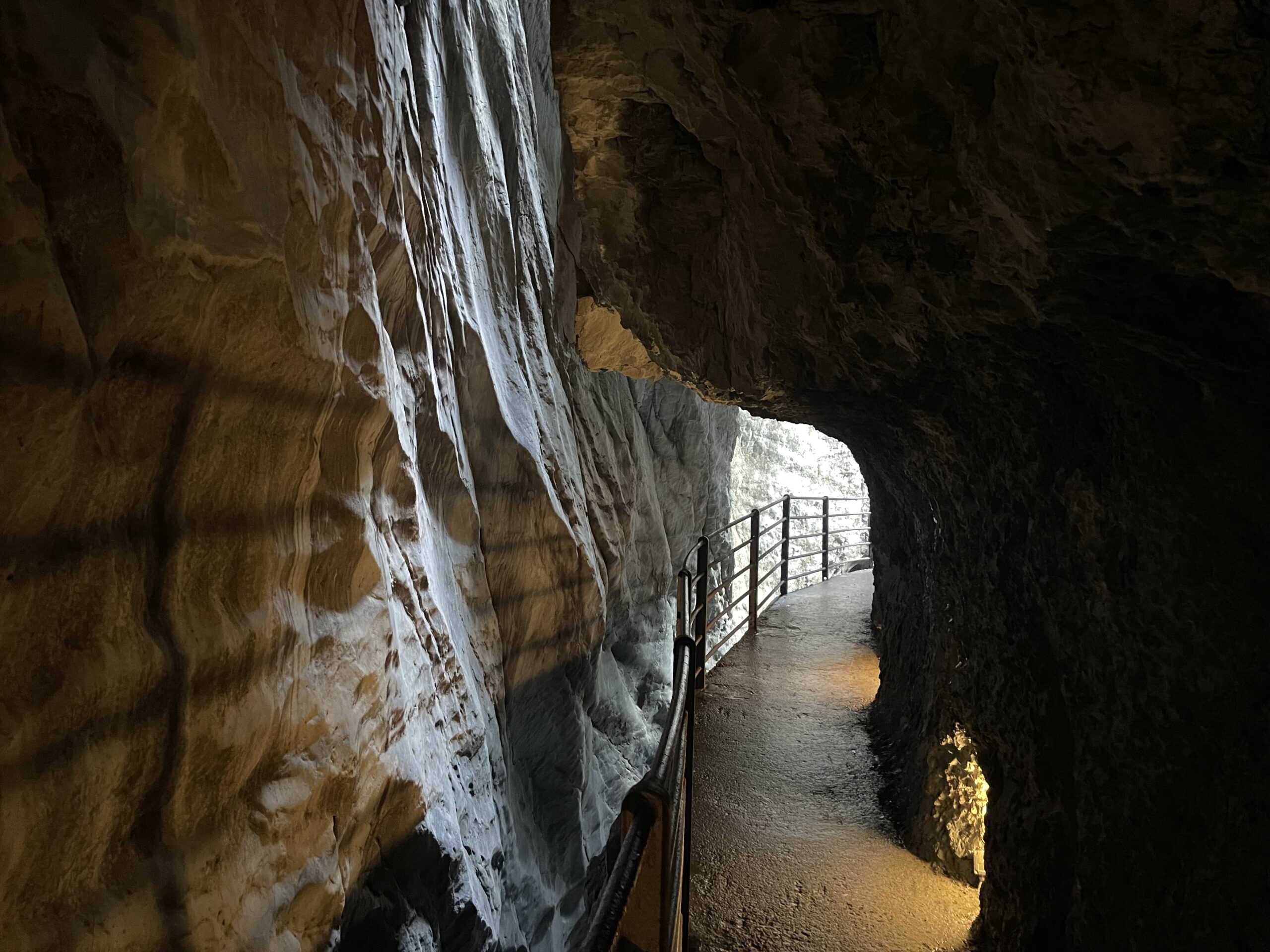
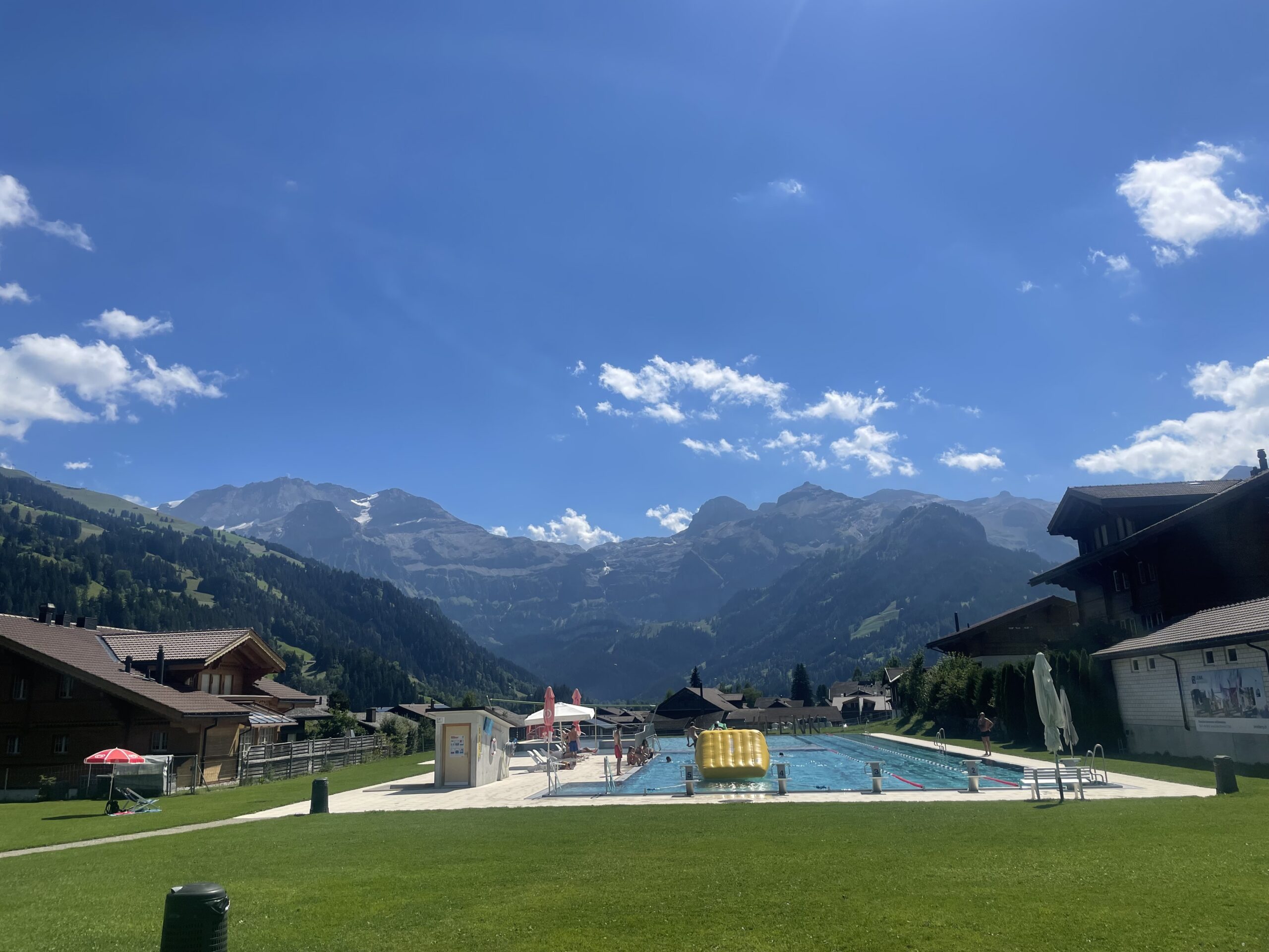
The route is ideal for hikers seeking a multi-day alpine adventure that combines dramatic mountain scenery with charming Swiss villages. Along the way, you’ll have the opportunities to visit Reichenbach Falls, famous from the Sherlock Holmes stories, see Trümmelbach Falls inside the Lauterbrunnen cliffs, ride the iconic mountain trains in Grindelwald, and pass through lush pastures dotted with grazing alpine cattle, giving a true sense of traditional Swiss life.
Accommodation is a mix of cozy mountain hotels, offering comfortable private rooms to recharge after each day’s trek. The route also offers flexibility, with mountain trains, gondolas, and local buses available to shorten distances or bypass steep climbs if needed.
It might seem like a lot to take in so if you're not sure if you're ready... No problem. Take our Via Alpina 'Readiness' test.
-
Duration
8 Nights, 9 Days
-
Start Location
Meiringen, Switzerland
-
Date(s)
July - September
-
Guide Ratio
Self Guided
-
Ability
Level BLevel B
You have some previous experience in the outdoors, whether that’s hiking, skiing or climbing. You will either be starting to venture into more technical terrain or slightly more 'aggressive' environments. Let's dial it up!
-
Price
From €2630
Adventure Overview
See real footage of previous expeditions
Meet The Team
01:48Introducing our crack squad of mountain lovers and adventure junkies. We spend most of our days plotting, planning and building some of the very best trips out there for you all to enjoy.
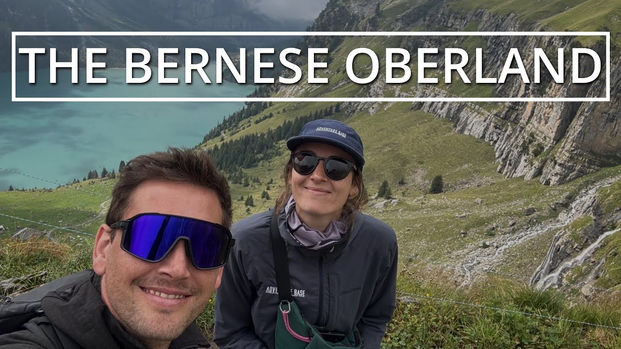
The Bernese Oberland
02:04Beth explores the stunning Bernese Oberland in the heart of the Swiss Alps.
What We Do
00:51Because life's better when you spend time in the mountains!
EQUIPMENT REQUIRED FOR THIS TRIP
Please note this is a guide and you may be required to rent or purchase last minute equipment on arrival dependent on the weather and changes in itinerary.
For the full downloadable Via Alpina: Bernese Oberland Traverse kit list please click here.

Hiking shoes / Trail Shoes
Good grip and ankle support is recommended

Softshell Jacket
Light technical jacket, ideally with a hood.

Lightweight fleece
Something light and thin.

Thermal Tops
Keep them light and thin.

Tech T-Shirts
Highly breathable, lightweight synthetic technical t-shirt.
FULL KIT LIST

More info
Click the link in the text above to find the full kit list
We had an amazing experience planning the TMB with Adventure Base. Everything went well before and during our trip. Great support from their side.
5 stars for the Adventure Base team! We are so pleased with our self-guided 9-day Tour du Mont Blanc trek through Adventure Base. The company had clear communication with us the whole way- from making our itinerary, checking in before with left the US, checking in once we got to Chamonix, and then while we were on the trail as well. They helped us chose a different route mid hike, making us feel safe and supported. They also did a lot of small things that went a long way- holding our luggage + dropping it off at our hotel to be ready for us once we were done hiking, providing us with digital + paper maps, a mini trail first aid kit and buffs. We are so thankful to have used them!
The Adventure Base team was a complete pleasure to work with - friendly and knowledgeable. The team was super responsive from start to finish (from planning phase and throughout our trek) providing great advice, logistics and support. We will use AB again - 5 stars!!
We had a spectacular trip - and Adventure Base was a big reason why. The staff was proactive before the trip, providing advice on packing and IMPORTANTLY on weather and proper equipment (ie micro-spikes and poles) to make us safe and comfortable. All the staff were knowledgeable and responsive to all our many questions during the Tour. It was like having a personal guide OFF the mountain - a prefect solution as we wanted to hike on our own but wanted expert advice. thank you!
FINER DETAILS
YOUR ADVENTURE PACKAGE
What's Included?
- 8 Nights accommodation
- Dinner on night 1
- 8 Breakfasts
- Planning and reservations
- Navigational App
- 24/7 Support communication with our Chamonix based team
What's not Included?
- 7 Dinners
- Flights
- Airport transfers
- In-resort travel (bus / lifts / trains)
- Lunches, snacks and drinks
- Luggage transfers
- Additional nights before, during and after trip (can be added on request)
- Travel insurance (required)
Adventure like a local
The Adventure Base Difference
Born & Bred in the Alps
With an office at the foot of Mont Blanc in Chamonix, we help you Adventure like a local.
Customer Focused
We don't just want you for one trip, we want you for lots! We work extremely hard to earn that right.
Don't take our word for it
Our clients do the talking. Check out their latest reviews and see what makes their trips so special.
Guaranteed Departures
If you can book it, we'll run it even if it's just for you. You shouldn't have to wait to get excited for your trip.
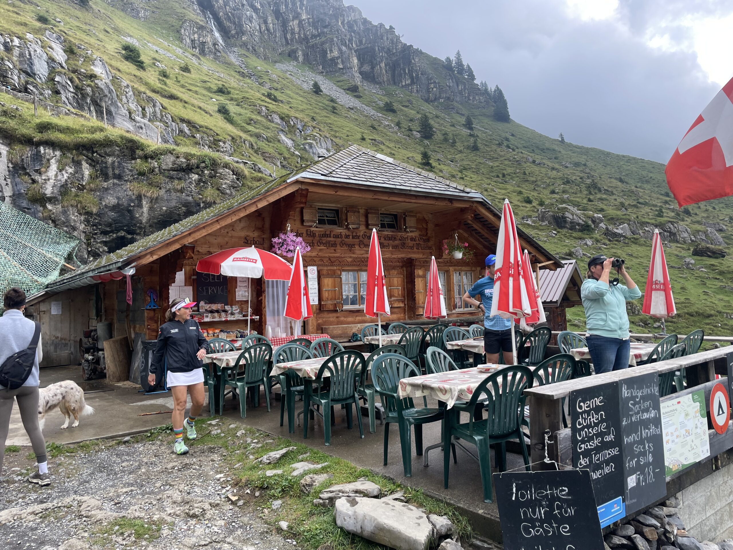
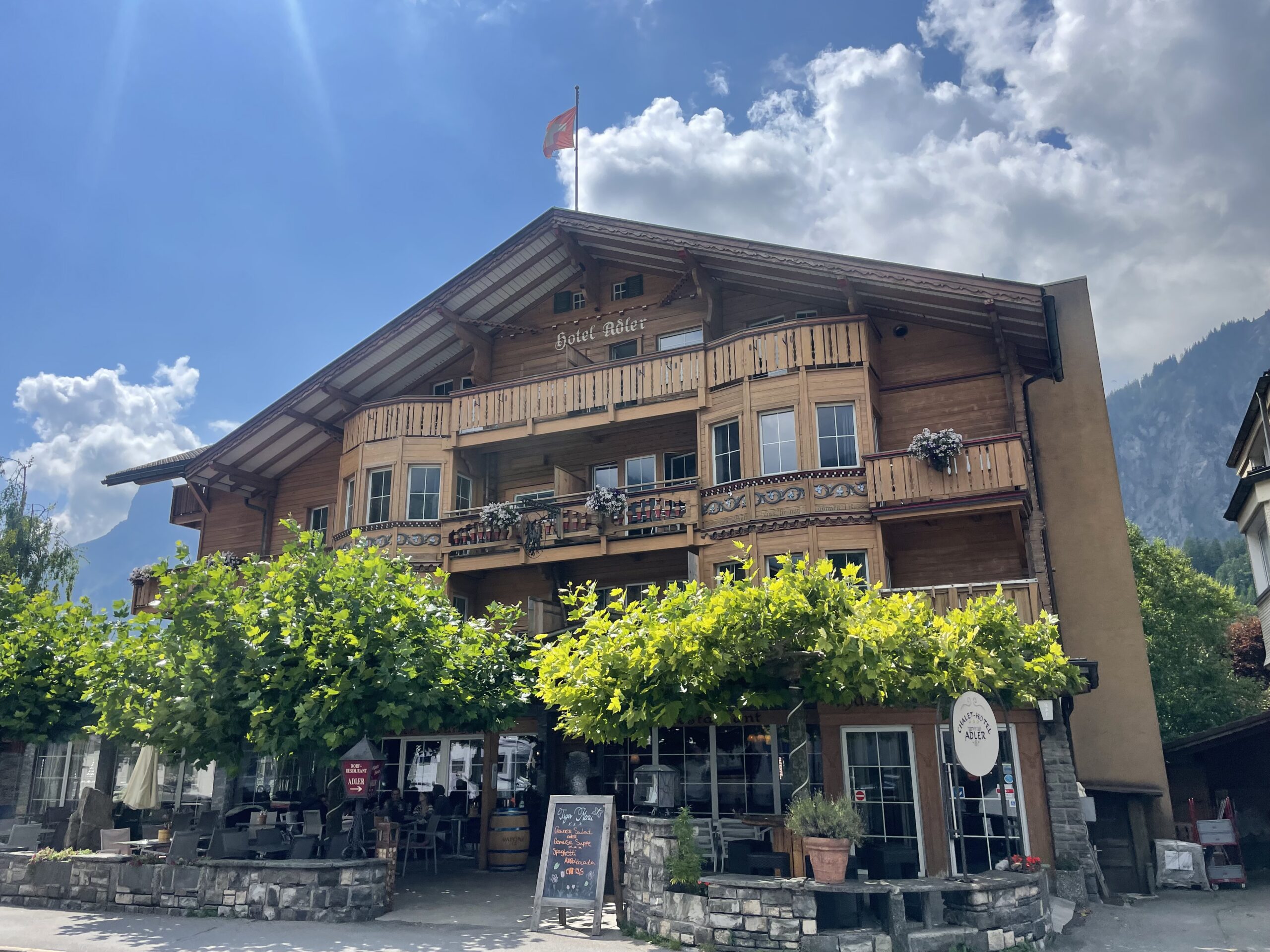
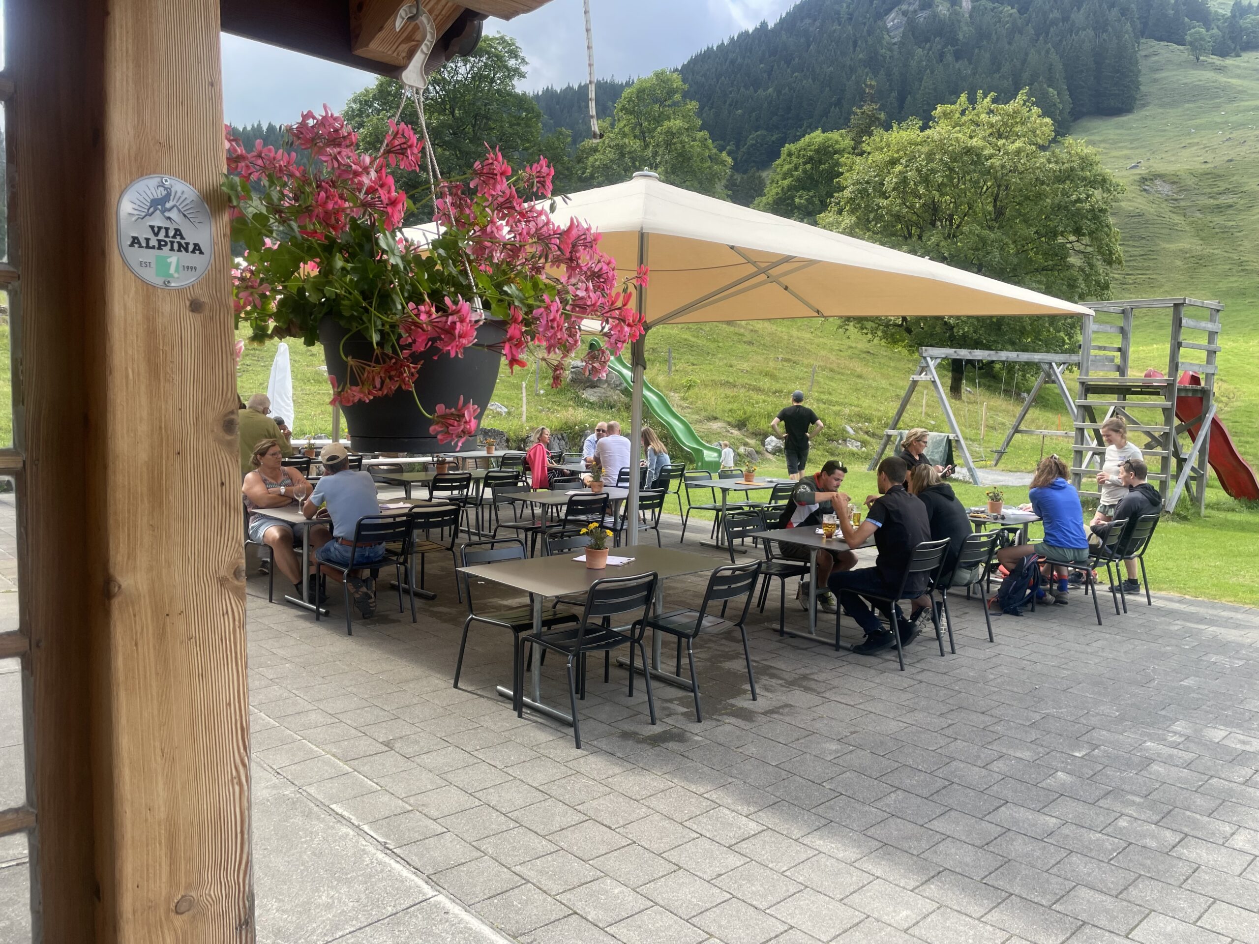
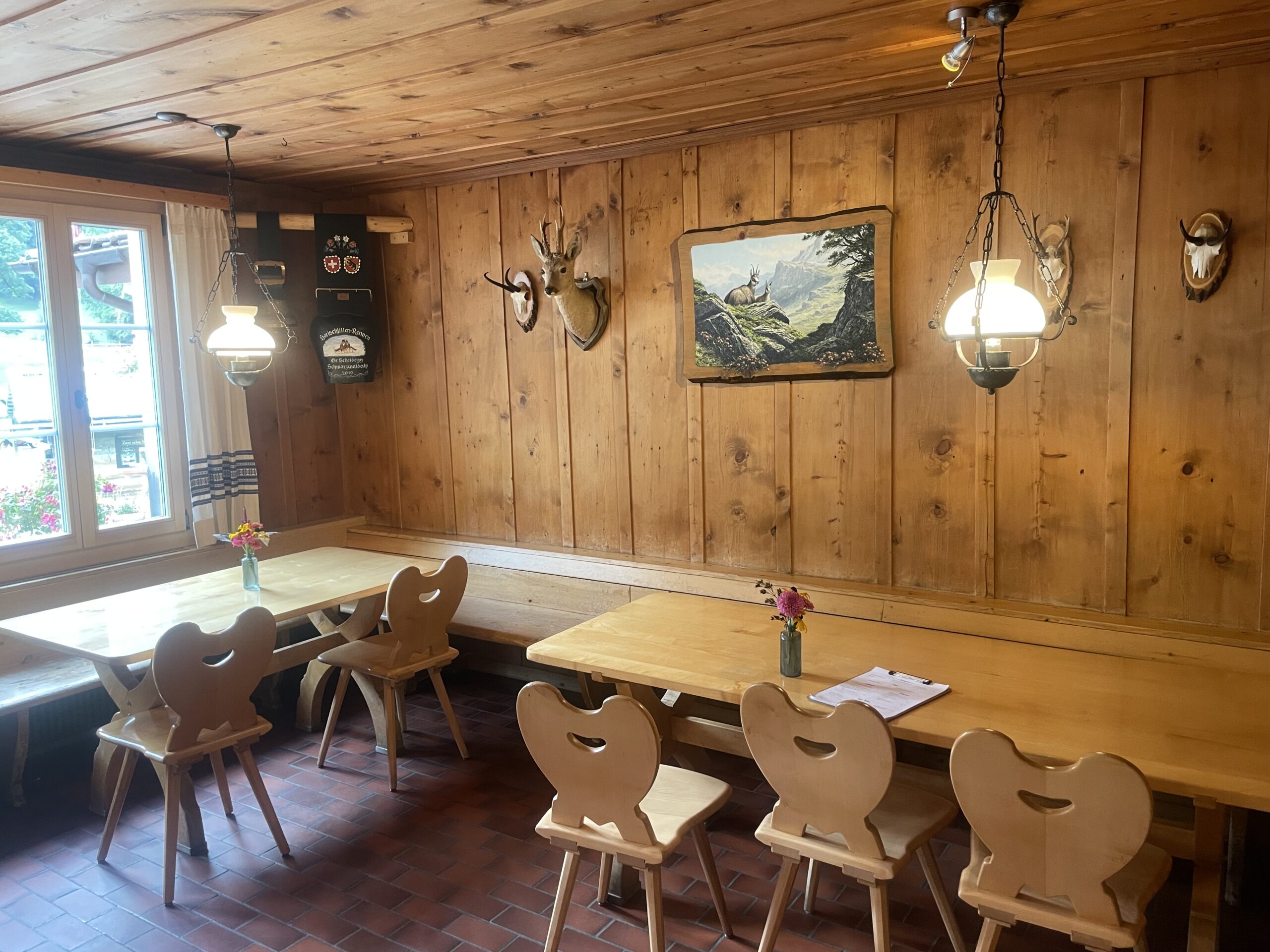
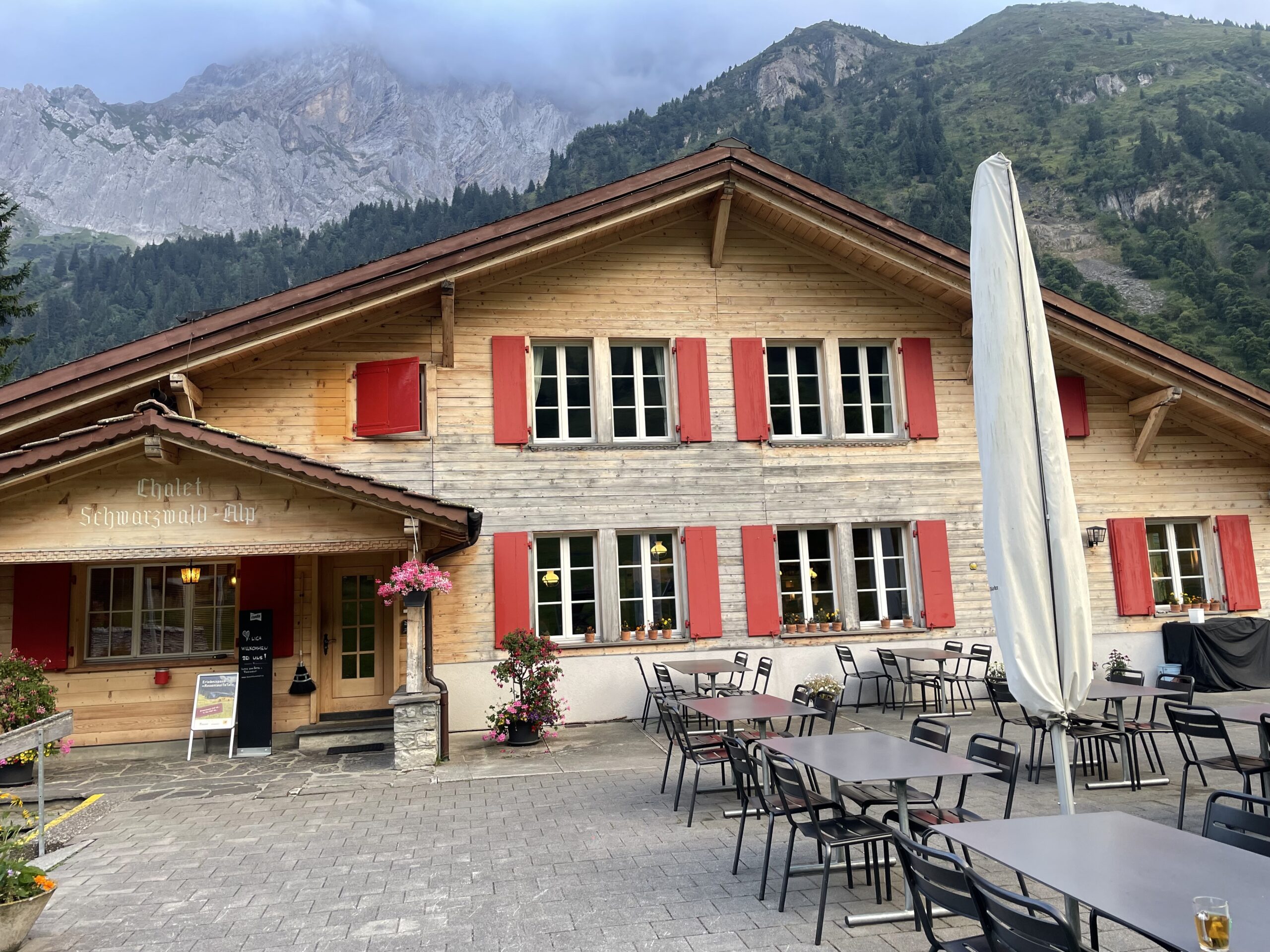
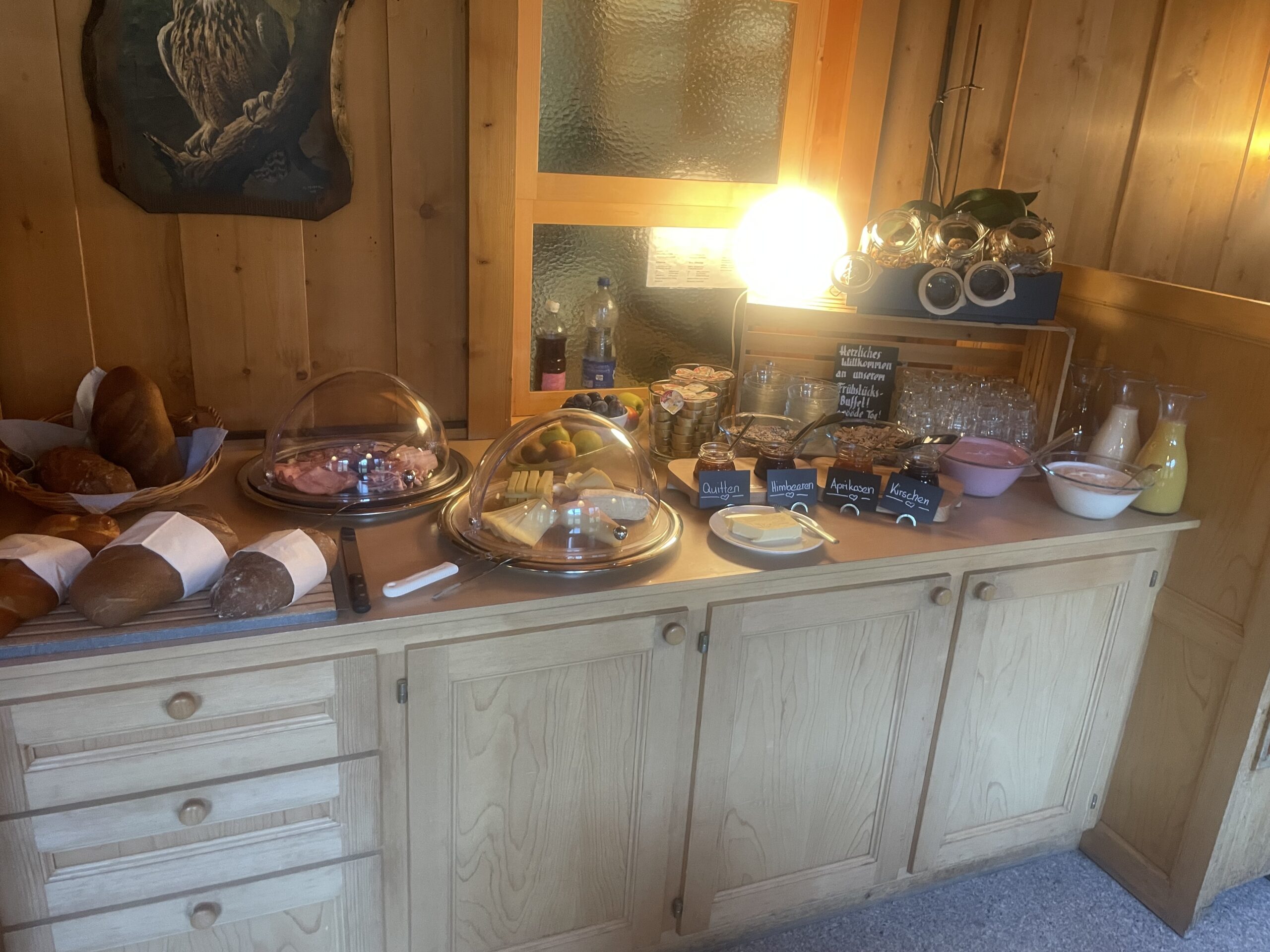
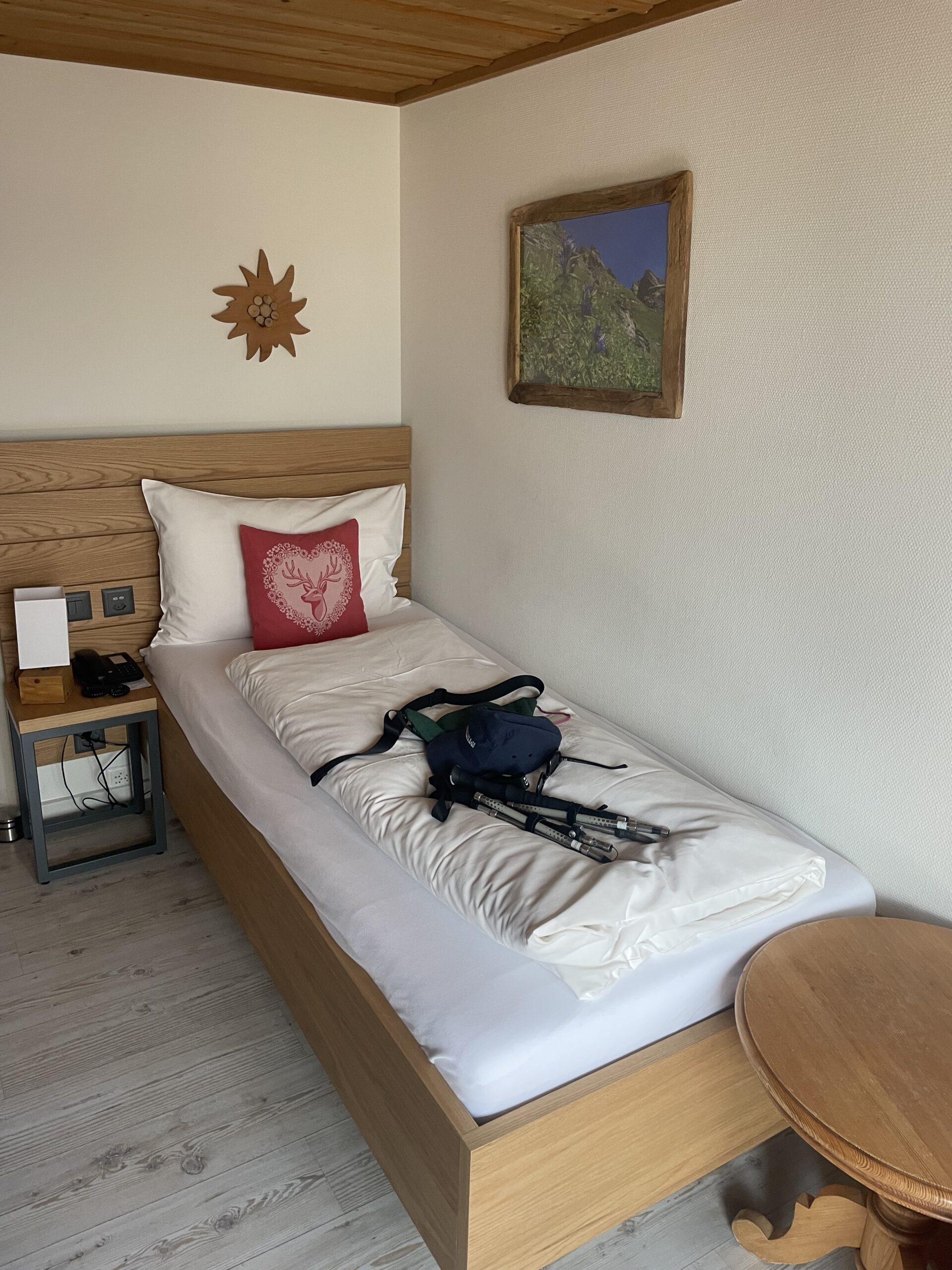
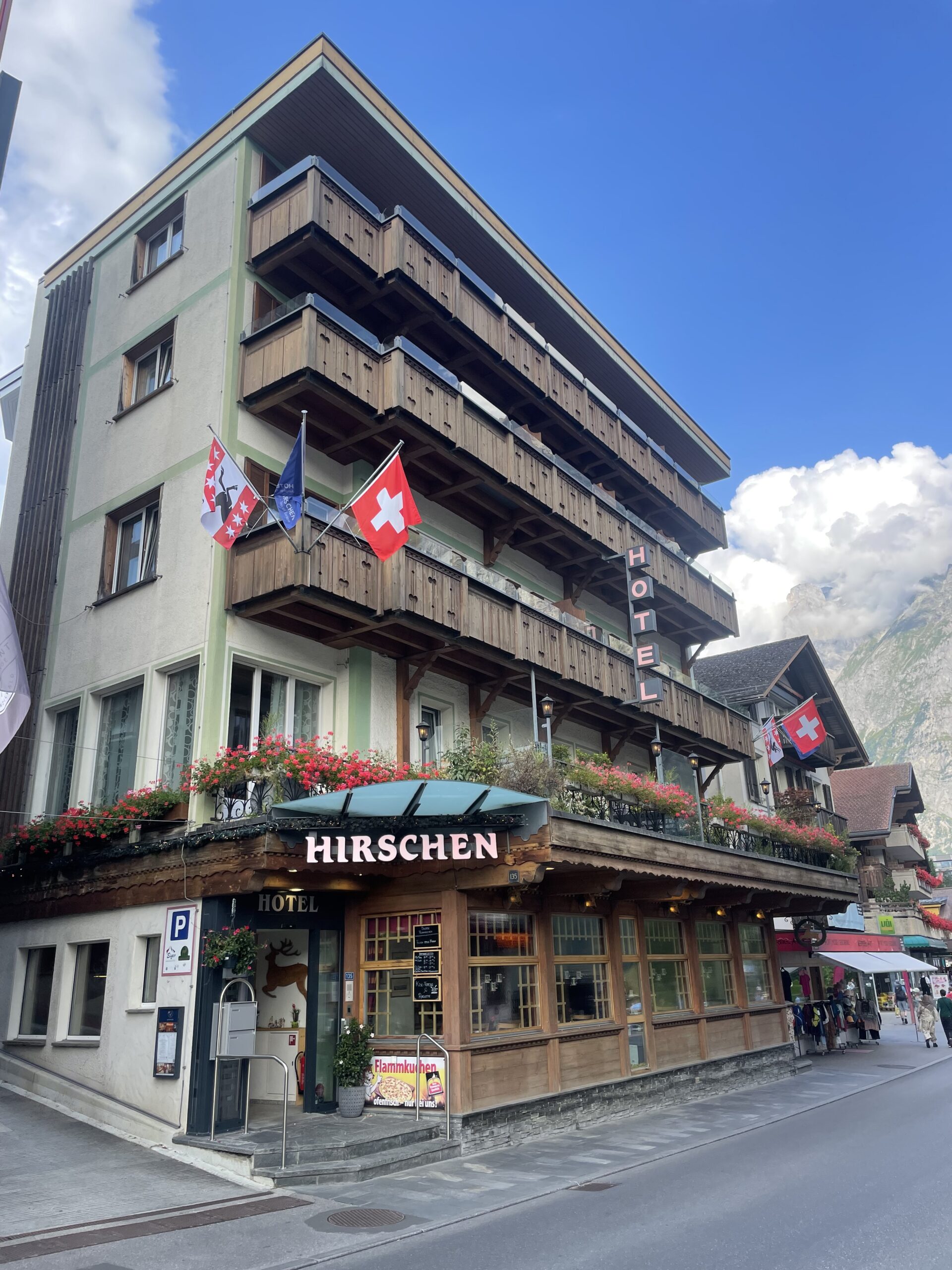
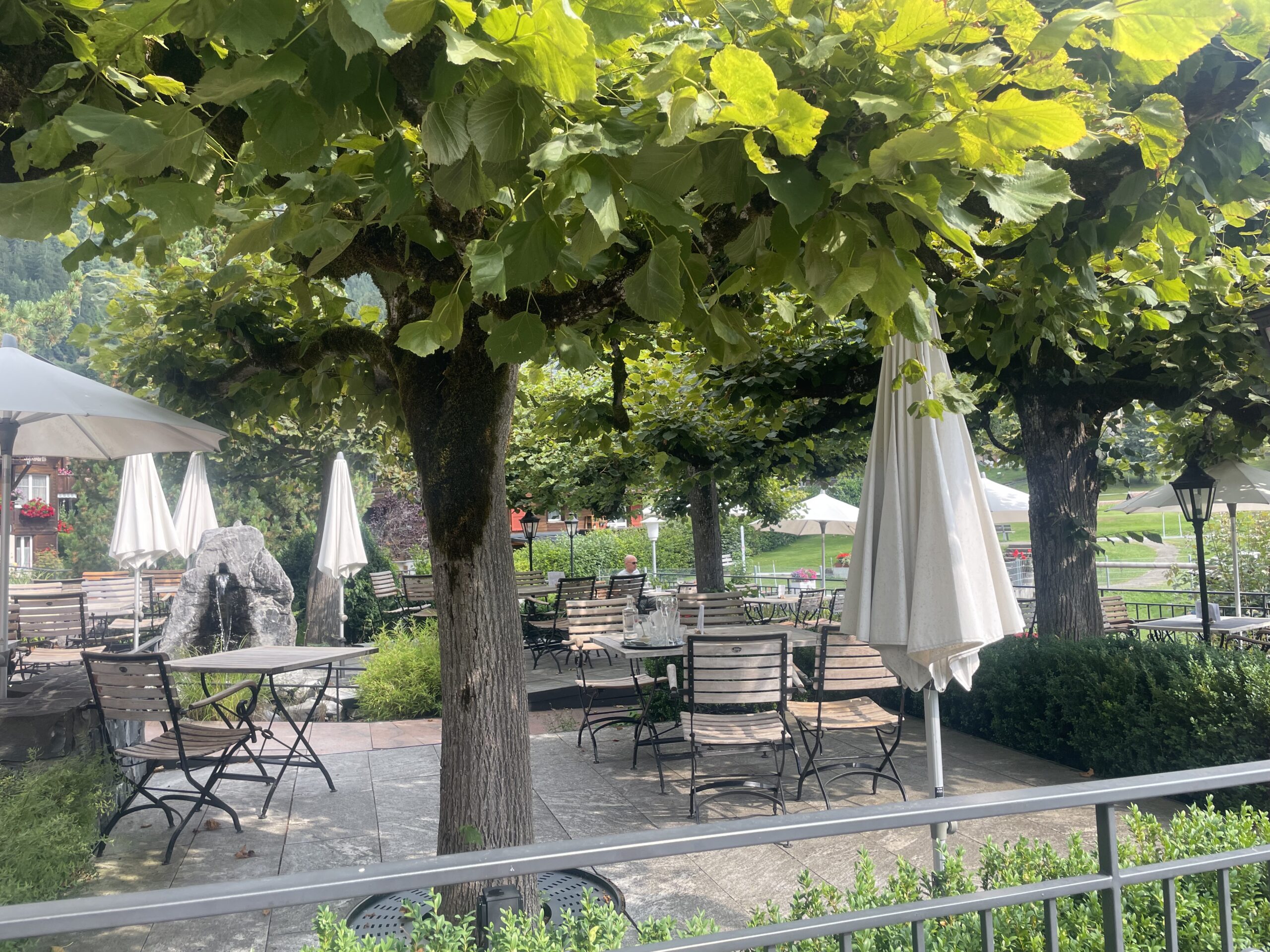
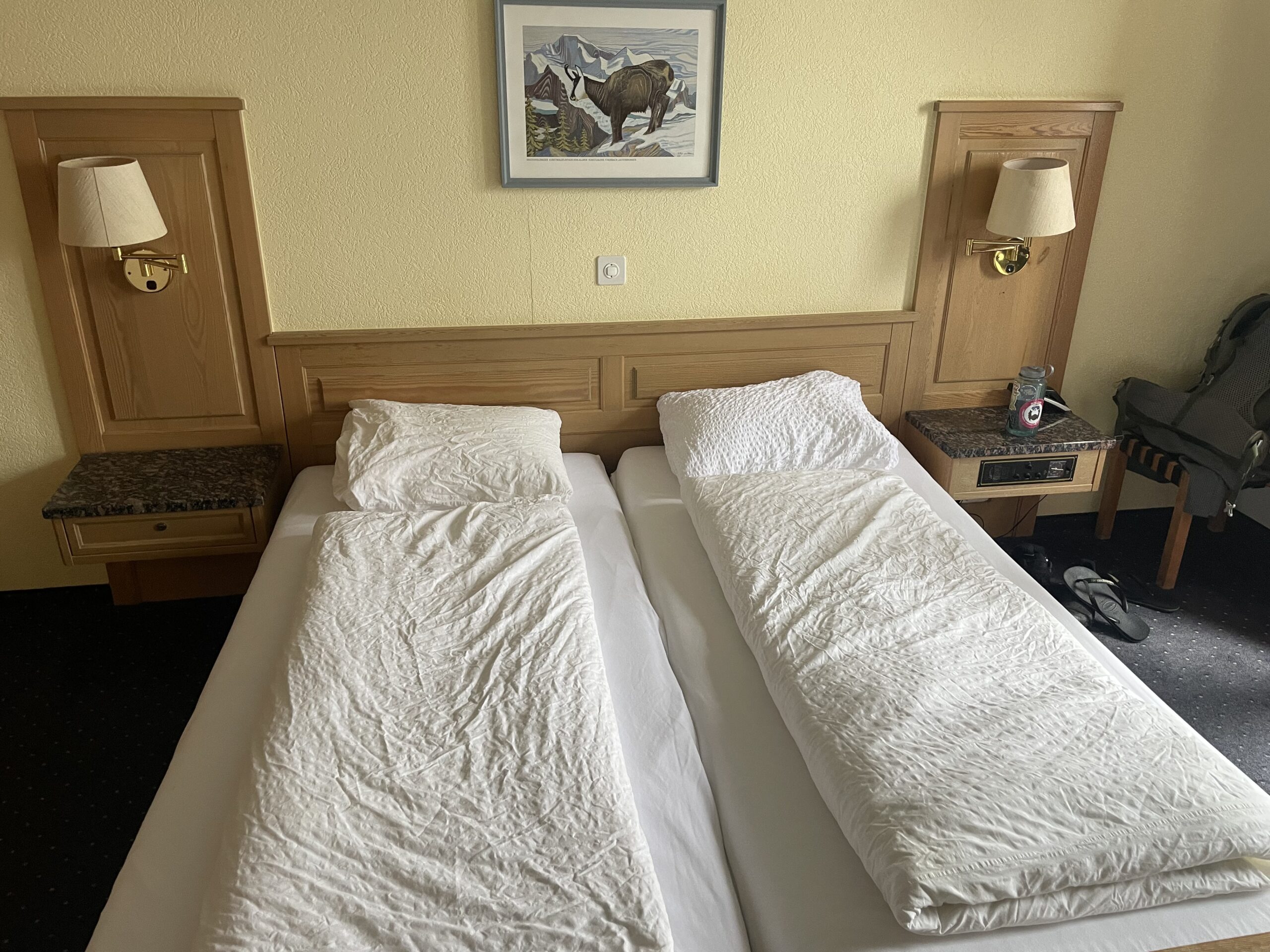
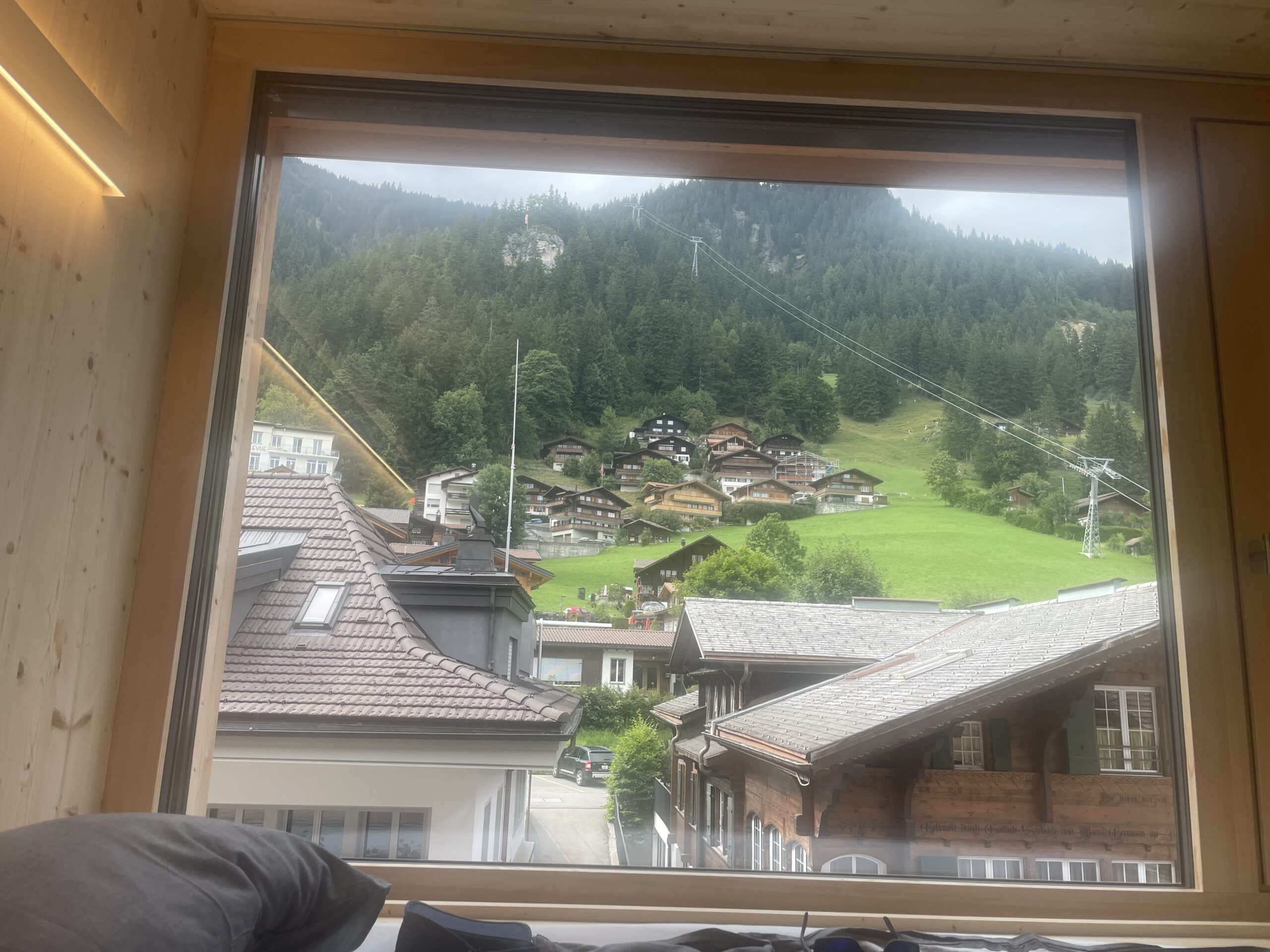
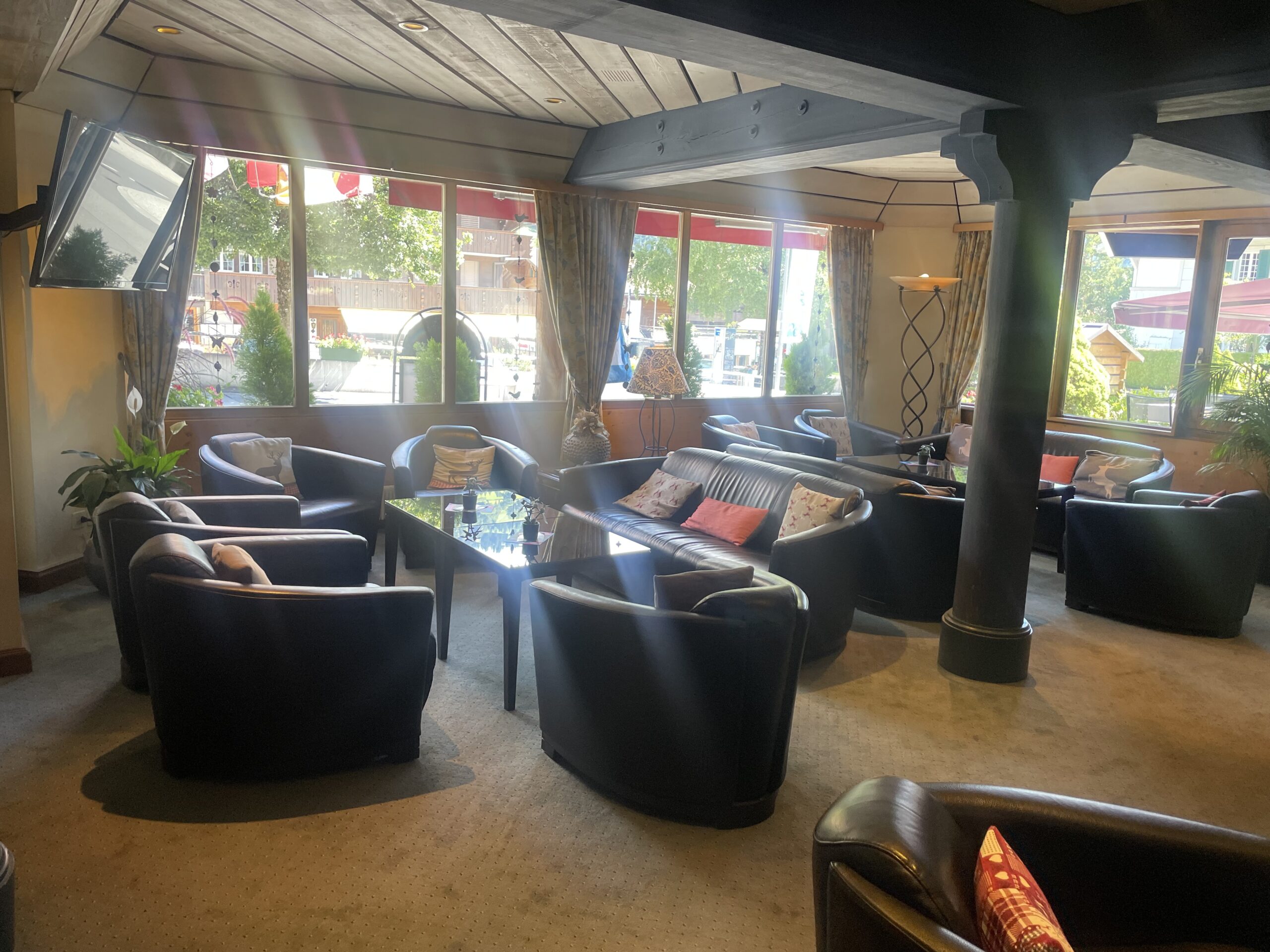
WHAT TO EXPECT FROM THE ACCOMMODATION
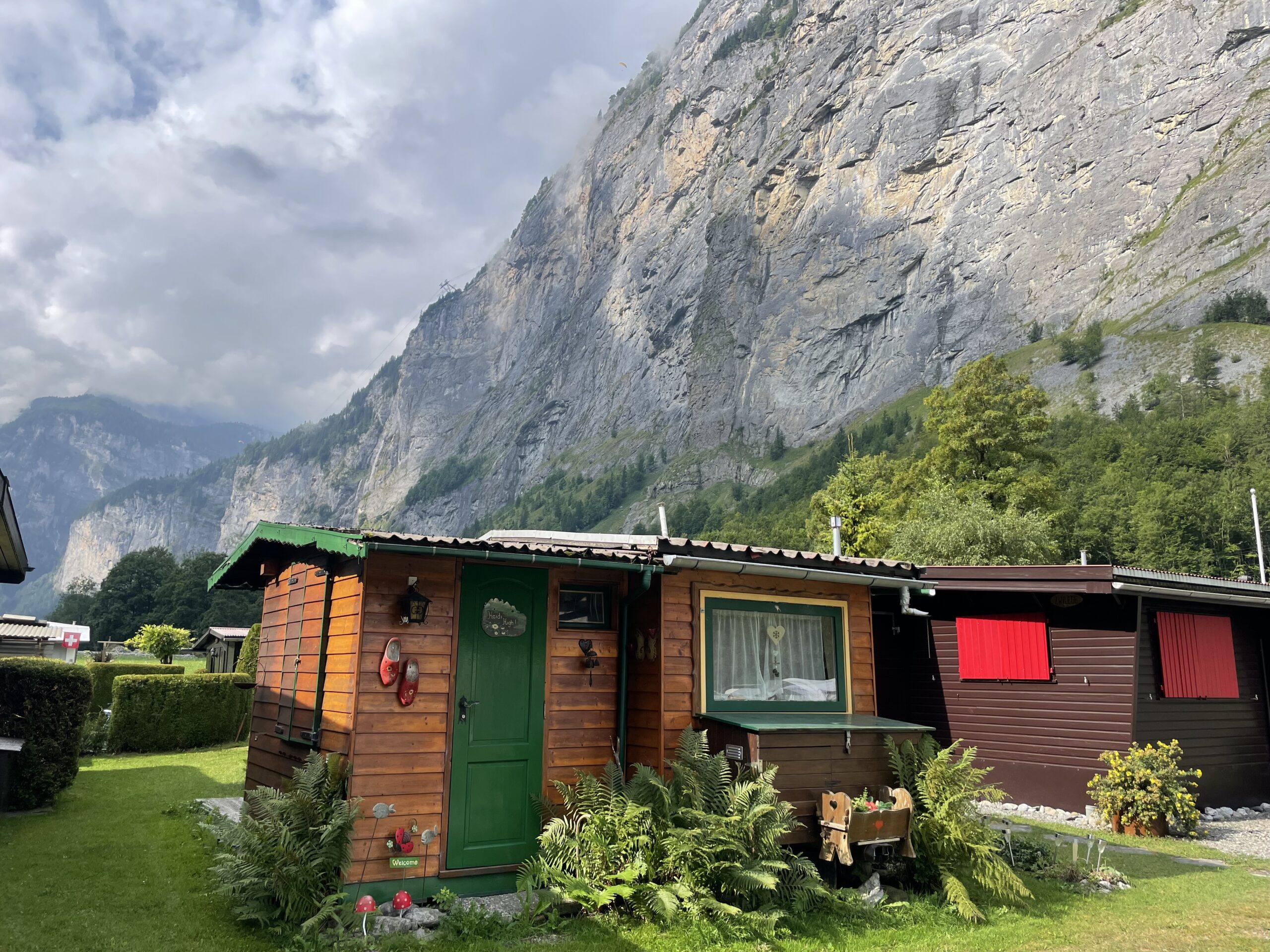
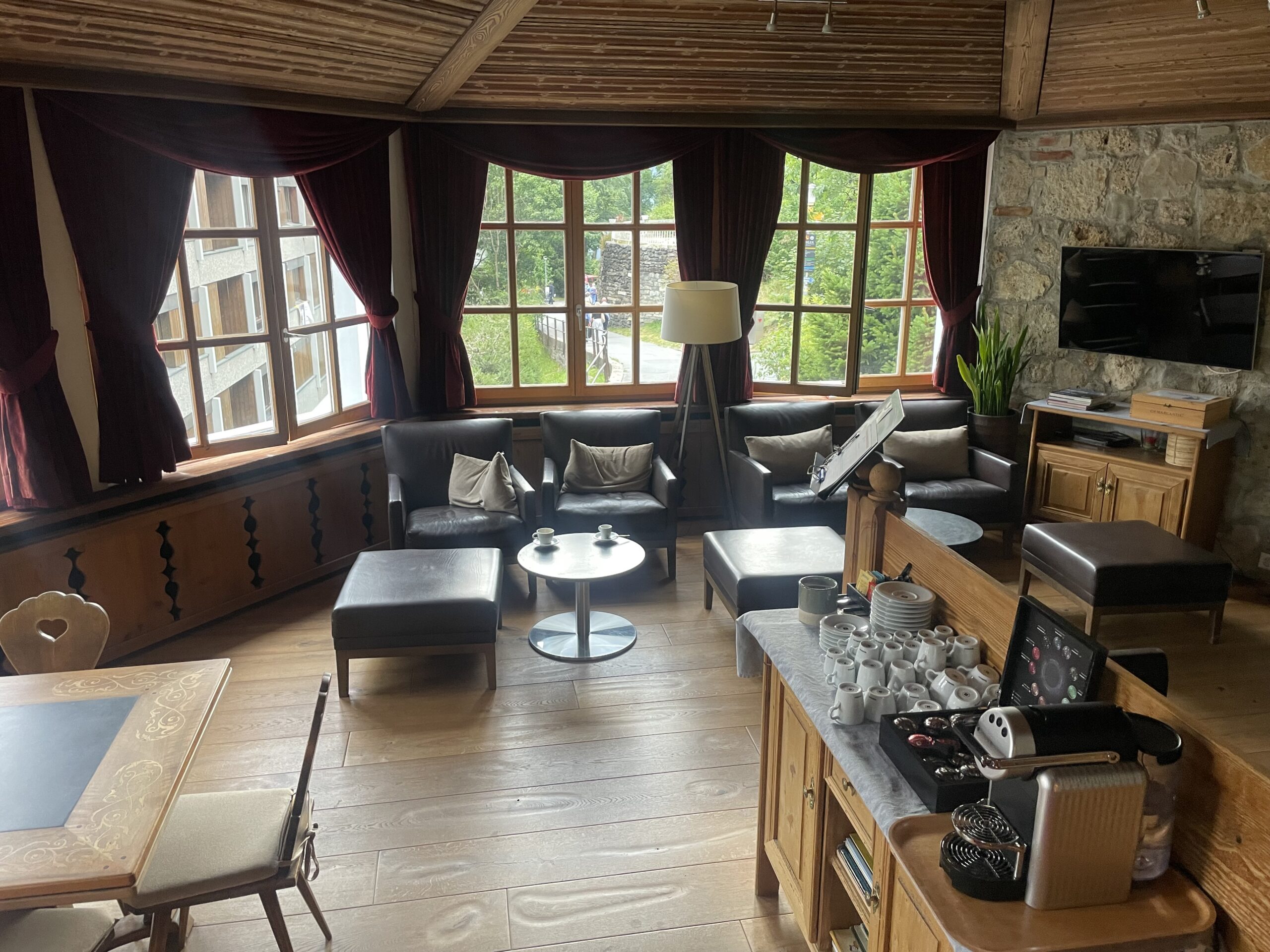
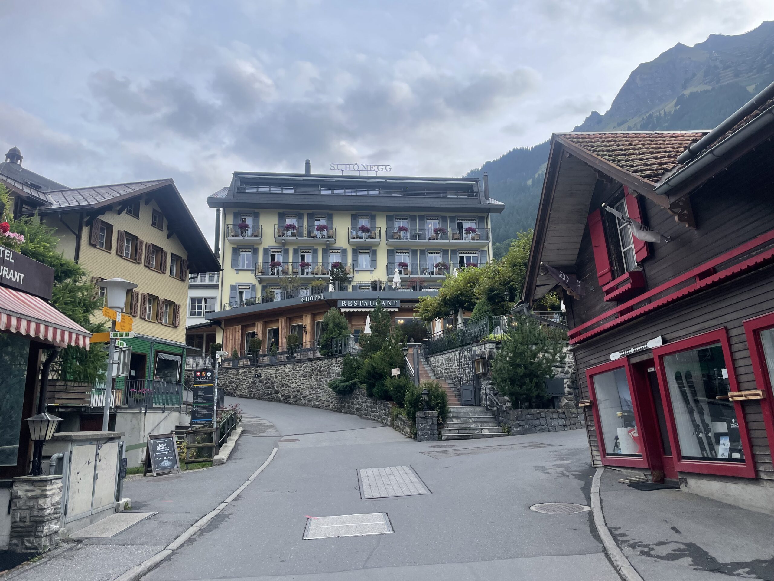
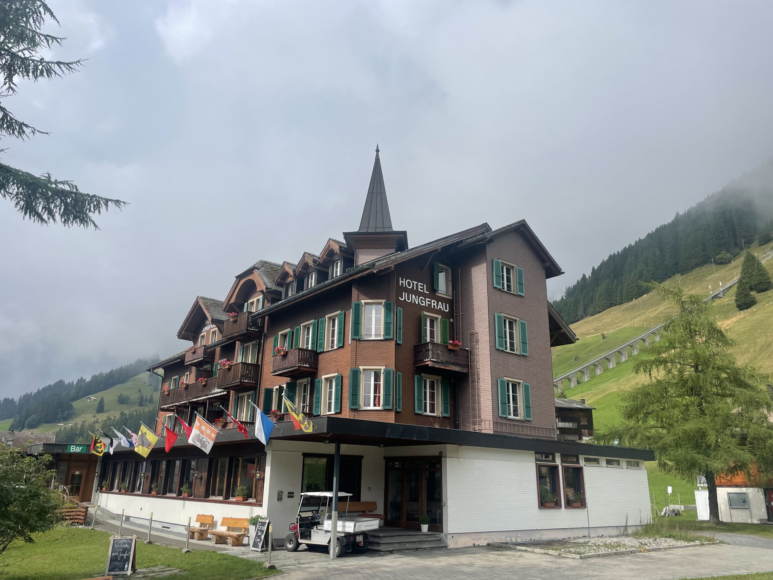
We know the importance of having comfortable accommodation on this trip. After a long day of trekking it's vital to have a comfortable bed and good food to enjoy in a scenic location. We've handpicked charming mountain accommodation along the way that we're sure you're going to love.
VIEW GALLERY
-
-
 + 16
+ 16
ON THE TREK
Throughout the trek, you’ll stay in a mix of comfortable hotels and charming chalet-style inns, in private rooms for a restful night after the trail. In several locations, you can even upgrade to premium options for a touch of extra comfort—just let us know in advance, and we’ll arrange it whenever available.
-
Duration
8 Nights
-
Internet
Not included
-
Beds
Private Room
-
Food
8 Breakfasts + 1 Dinner
Immerse yourself in Nature
Adventure Itinerary
Here you'll find the full itinerary including distances (KM) ascents and descents each day and a rough estimate of how long it will take.
Start point: Meiringen, Switzerland
End point: Gstaad, Switzerland
Length: 9 days
Whilst we aim to stick to the itinerary below, accommodation in some of the locations may not always be available. In this instance you will be booked into a suitable alternative accommodation.
Keep in mind: The moving times shown don’t account for breaks. Add 1–2 hours each day for a more accurate total trail time.
-
Day 1:
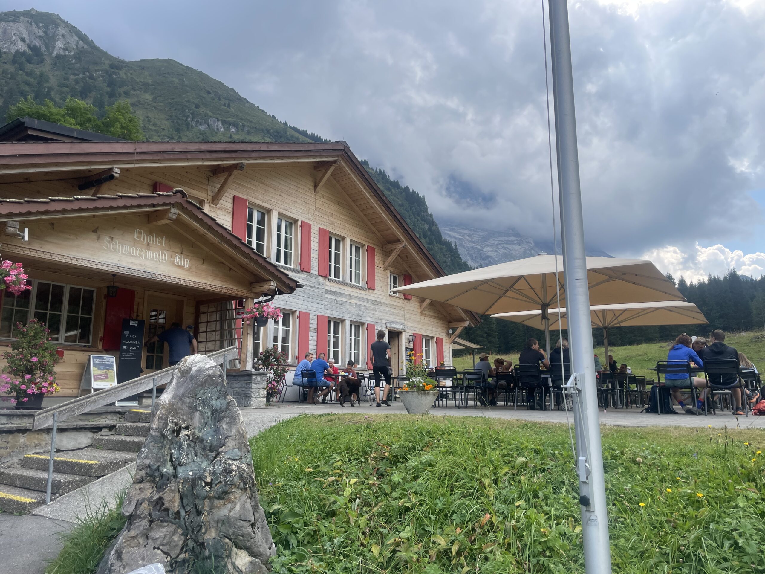
Meiringen - Schwarzwaldalp
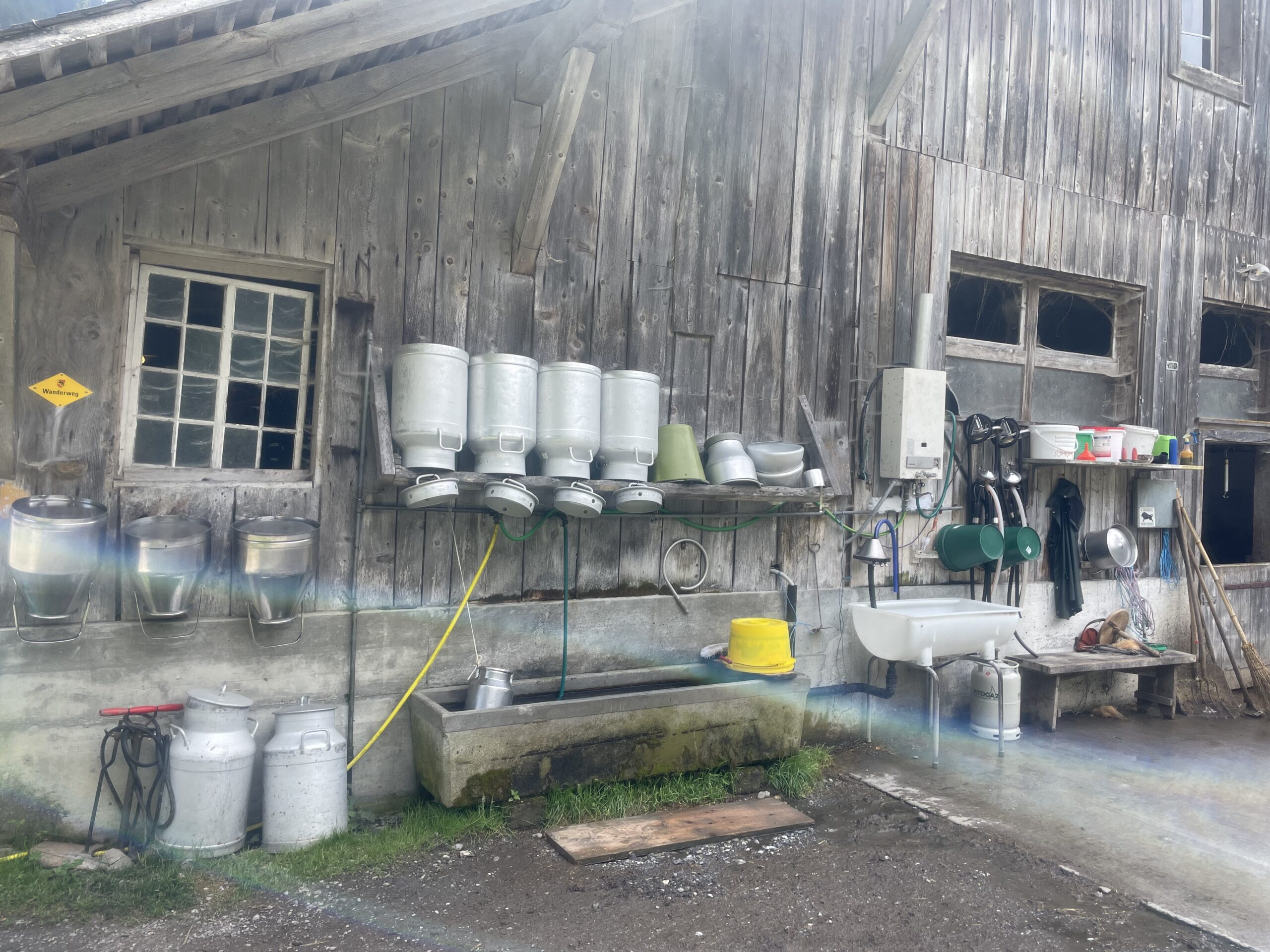
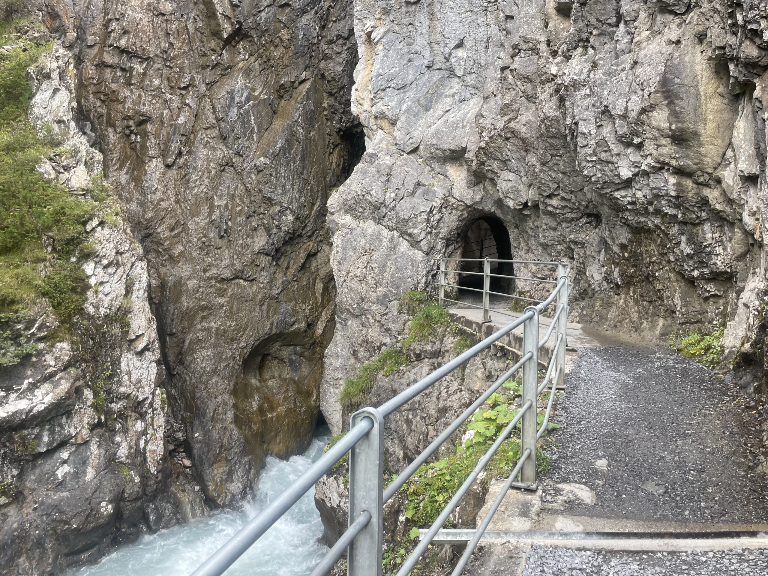
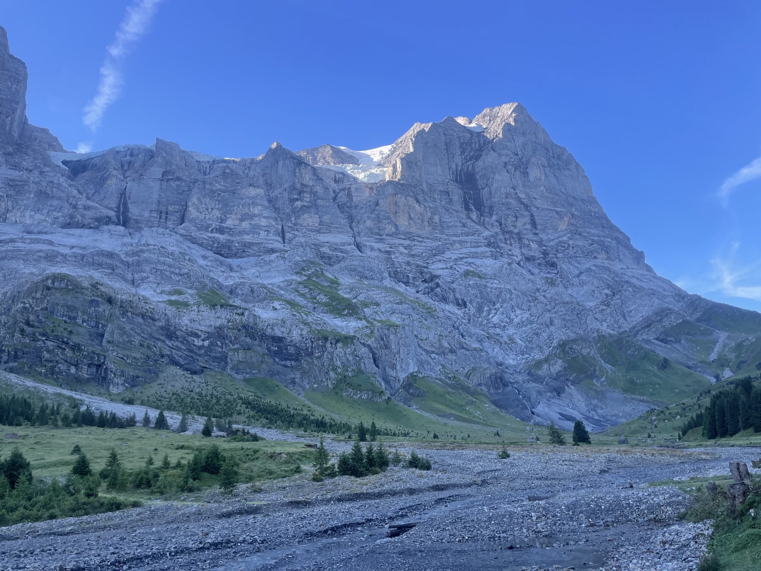
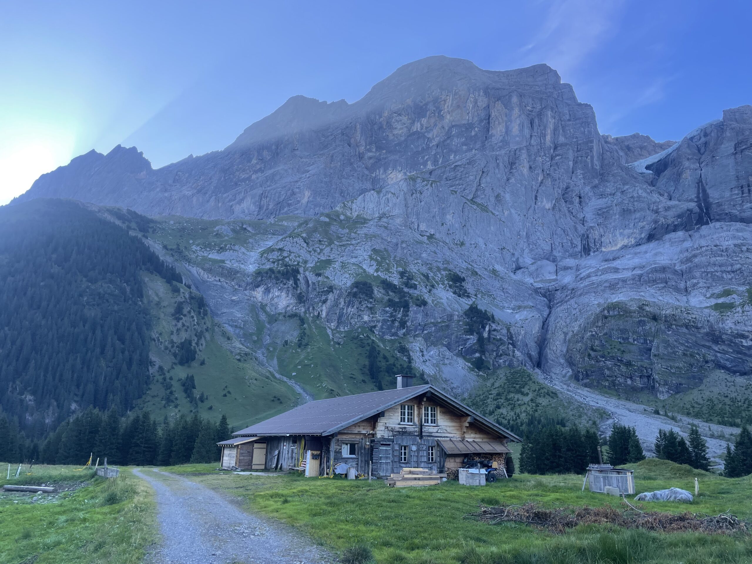
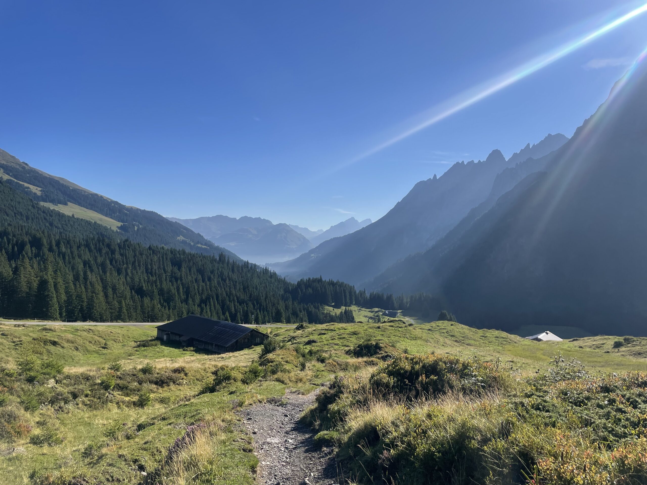
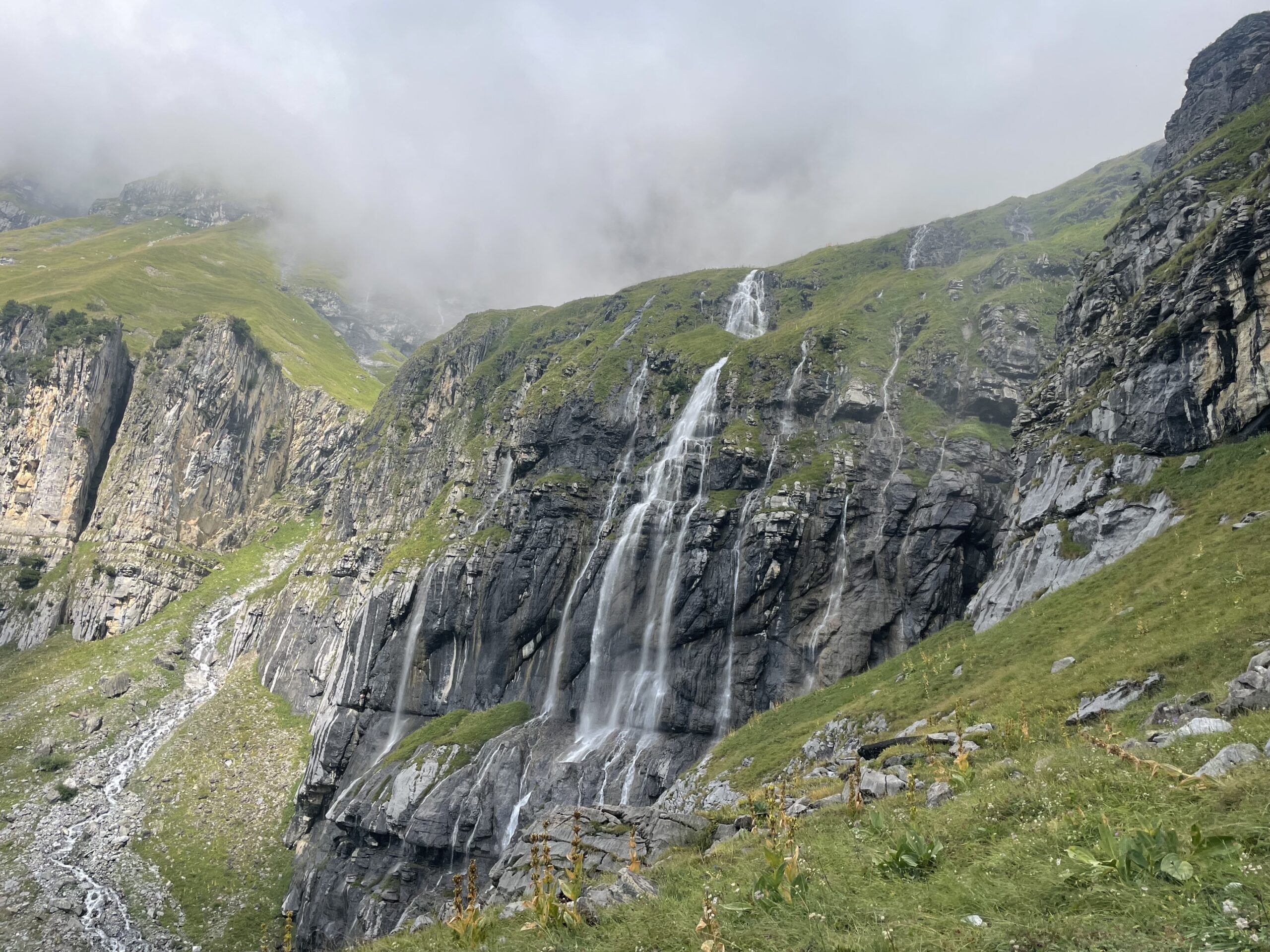
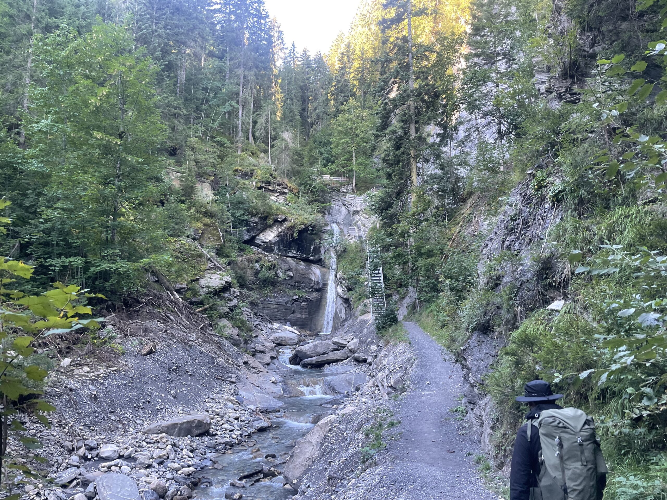
The day starts in Meiringen and follows the Reichenbach Valley up toward Schwarzwaldalp, with the option to shorten the ascent using public transport. The route passes the famous Reichenbach Falls, then climbs through forest before opening into alpine meadows with views of the Rosenlaui Glacier and peaks like the Wellhorn and Wetterhorn. Along the way you can visit the historic Rosenlaui Hotel and the impressive Glacier Gorge, before an easy final walk beside the river brings you to Schwarzwaldalp.
Approximate time and distances:
(10kms / 1000m up / 150m down) -
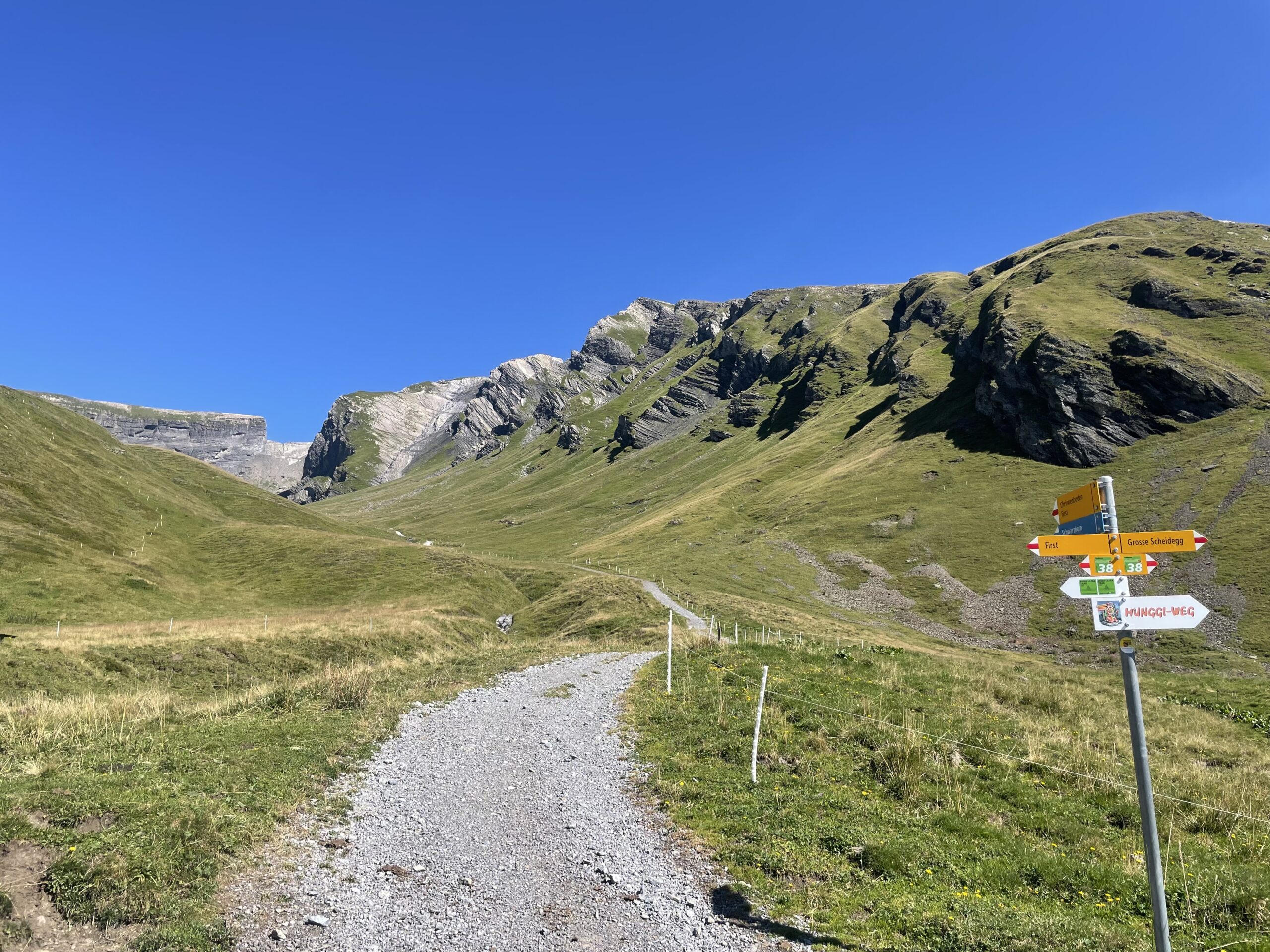
Day 2:
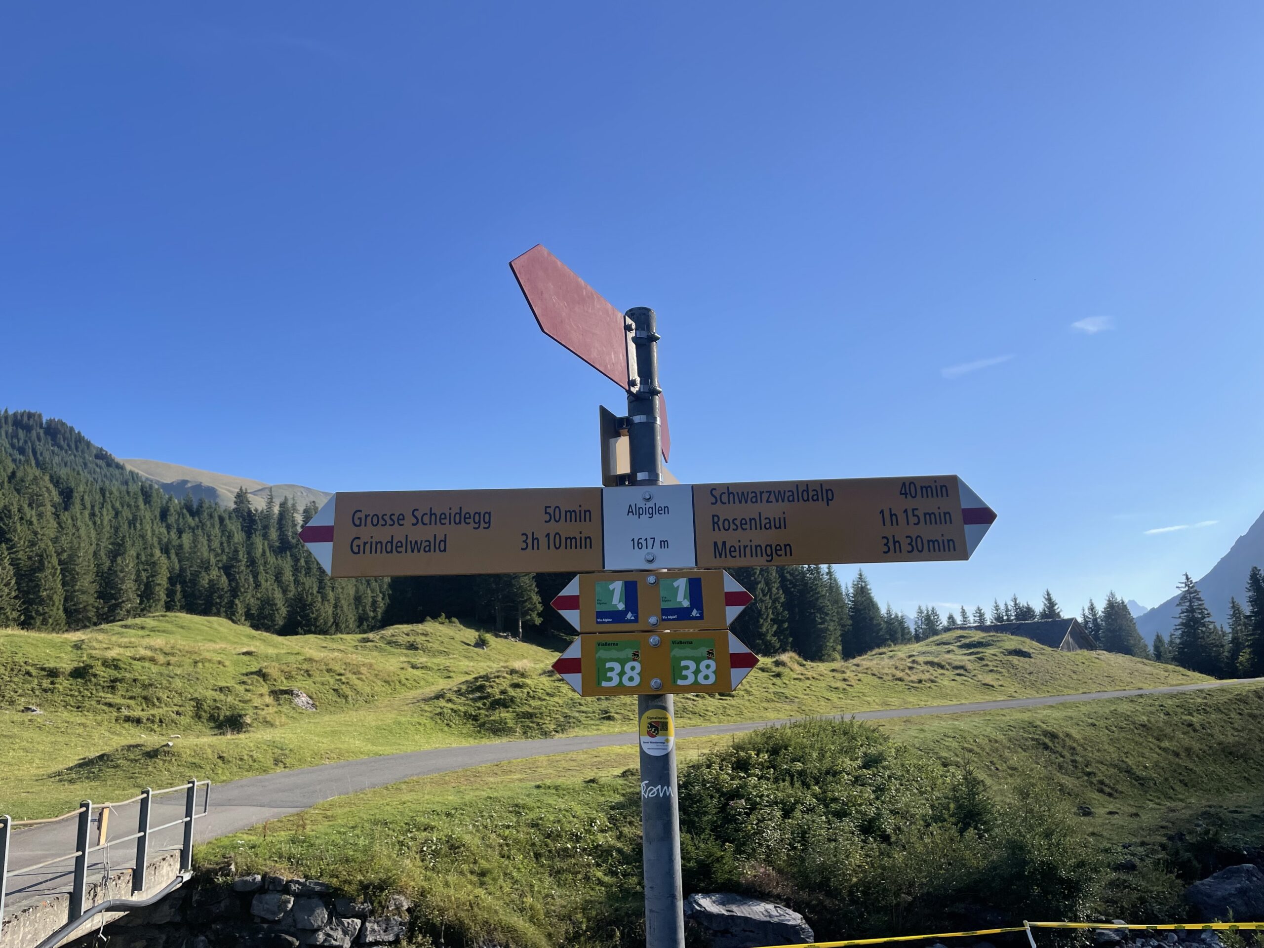
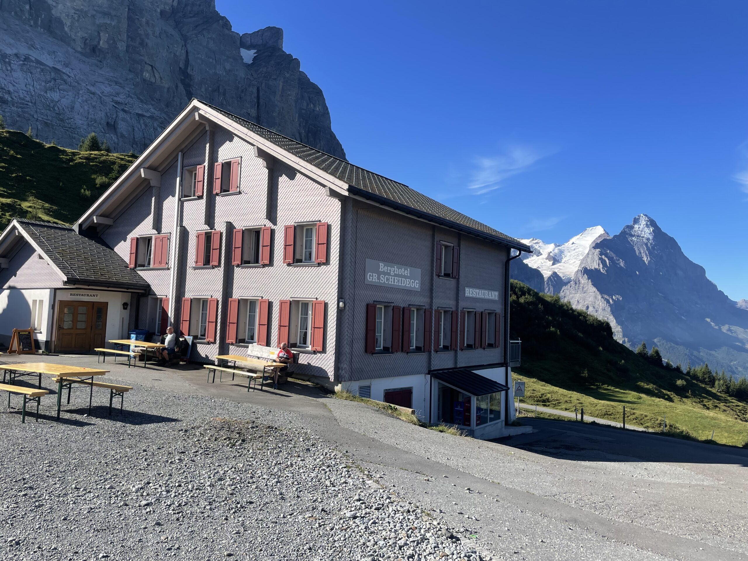
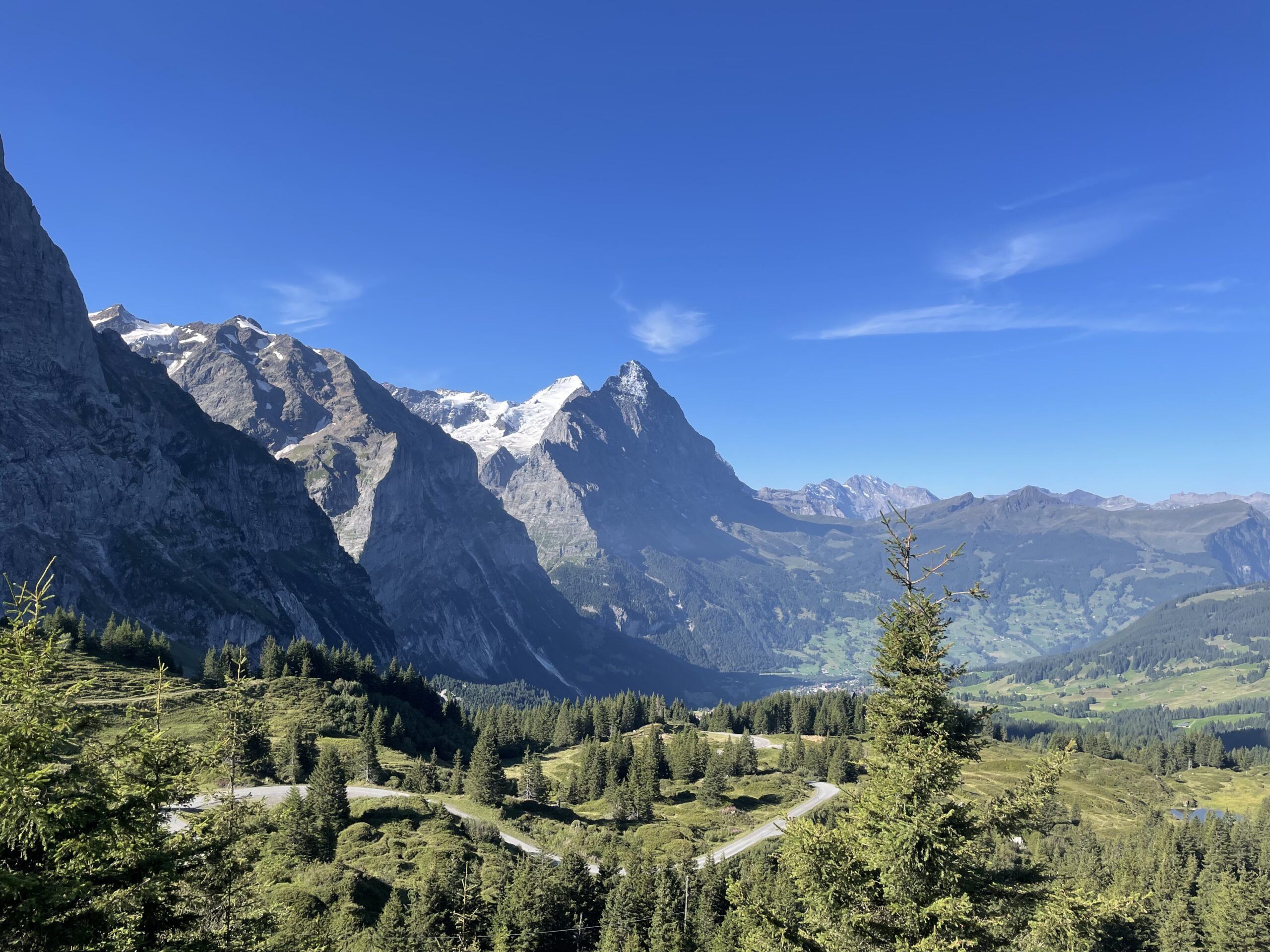
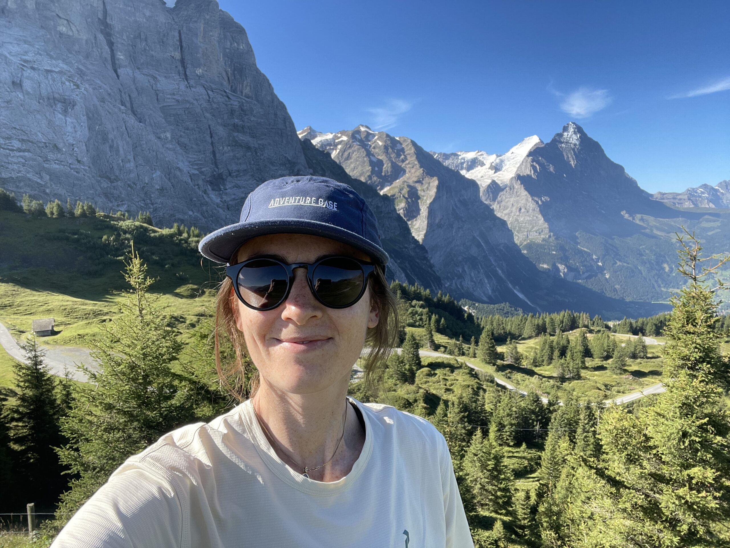
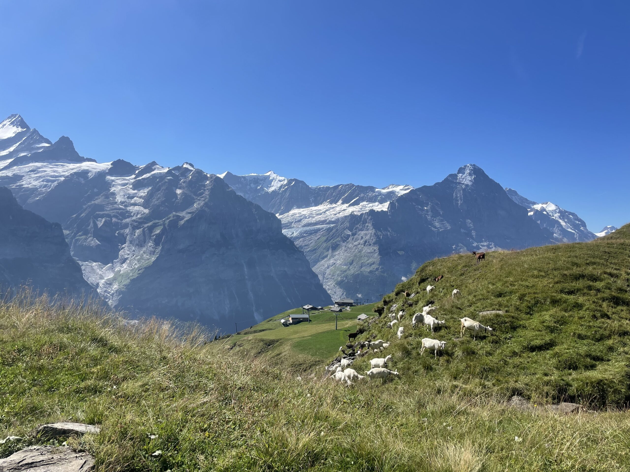
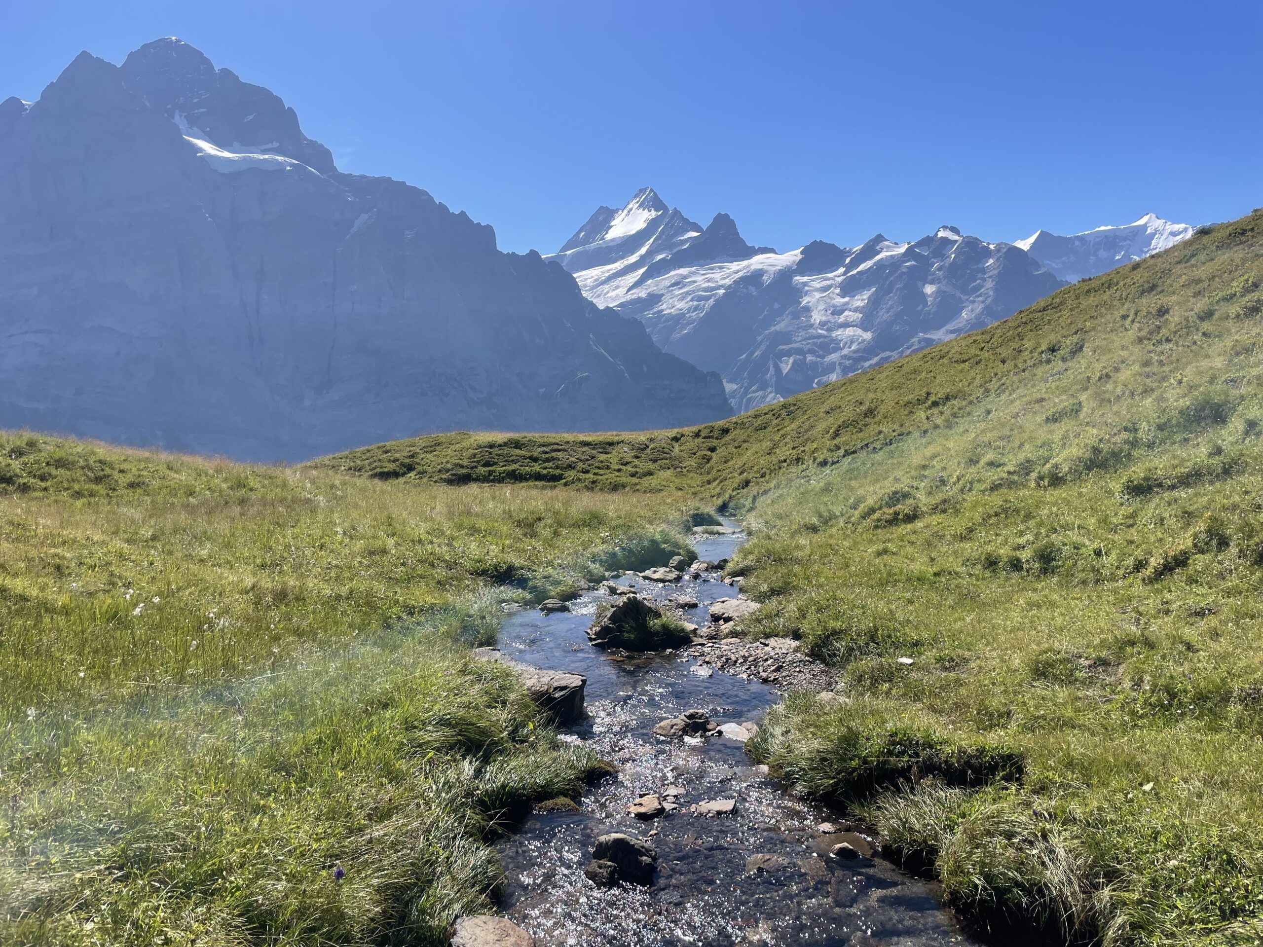
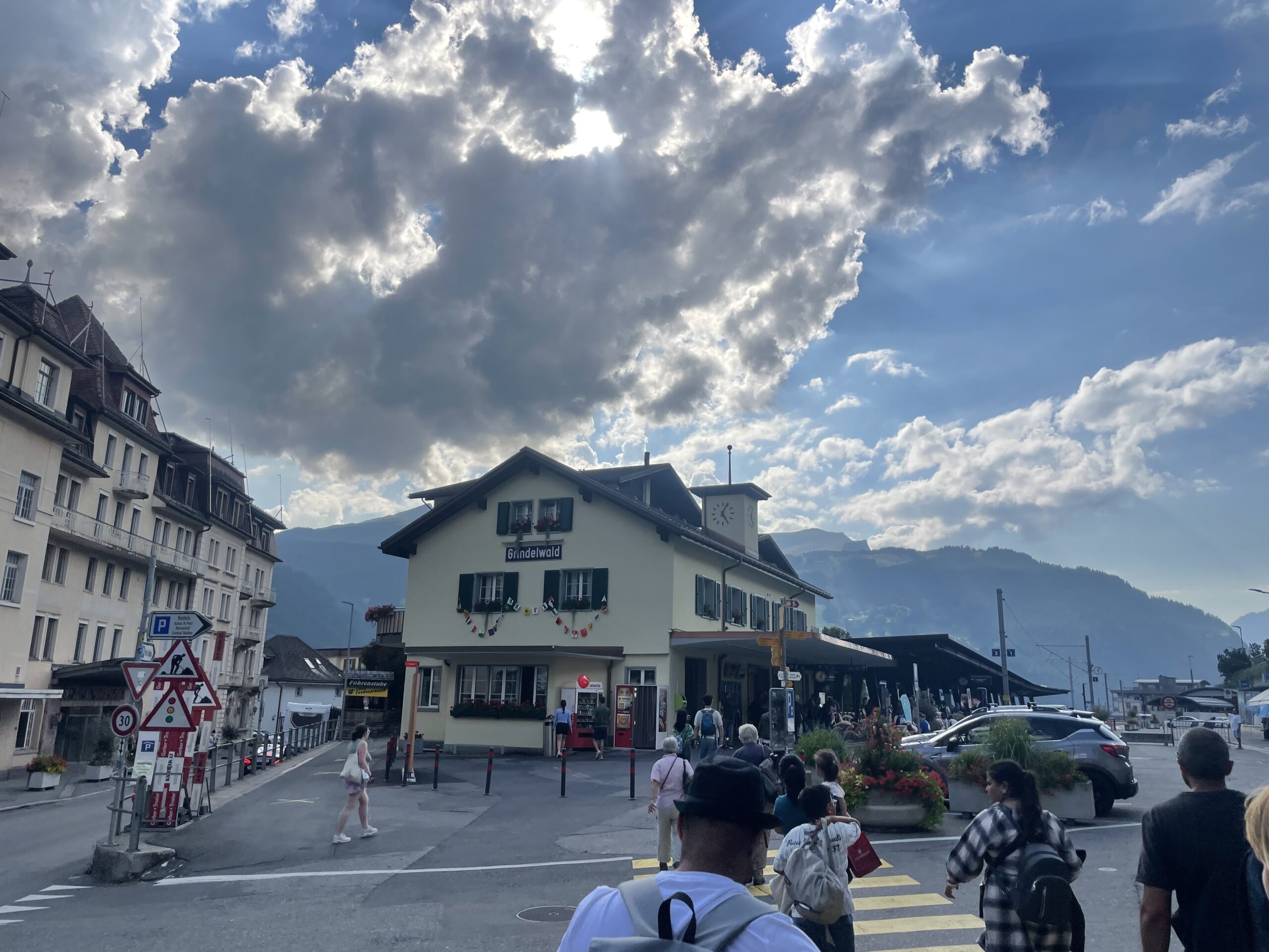
Schwarzwaldalp - Grindelwald
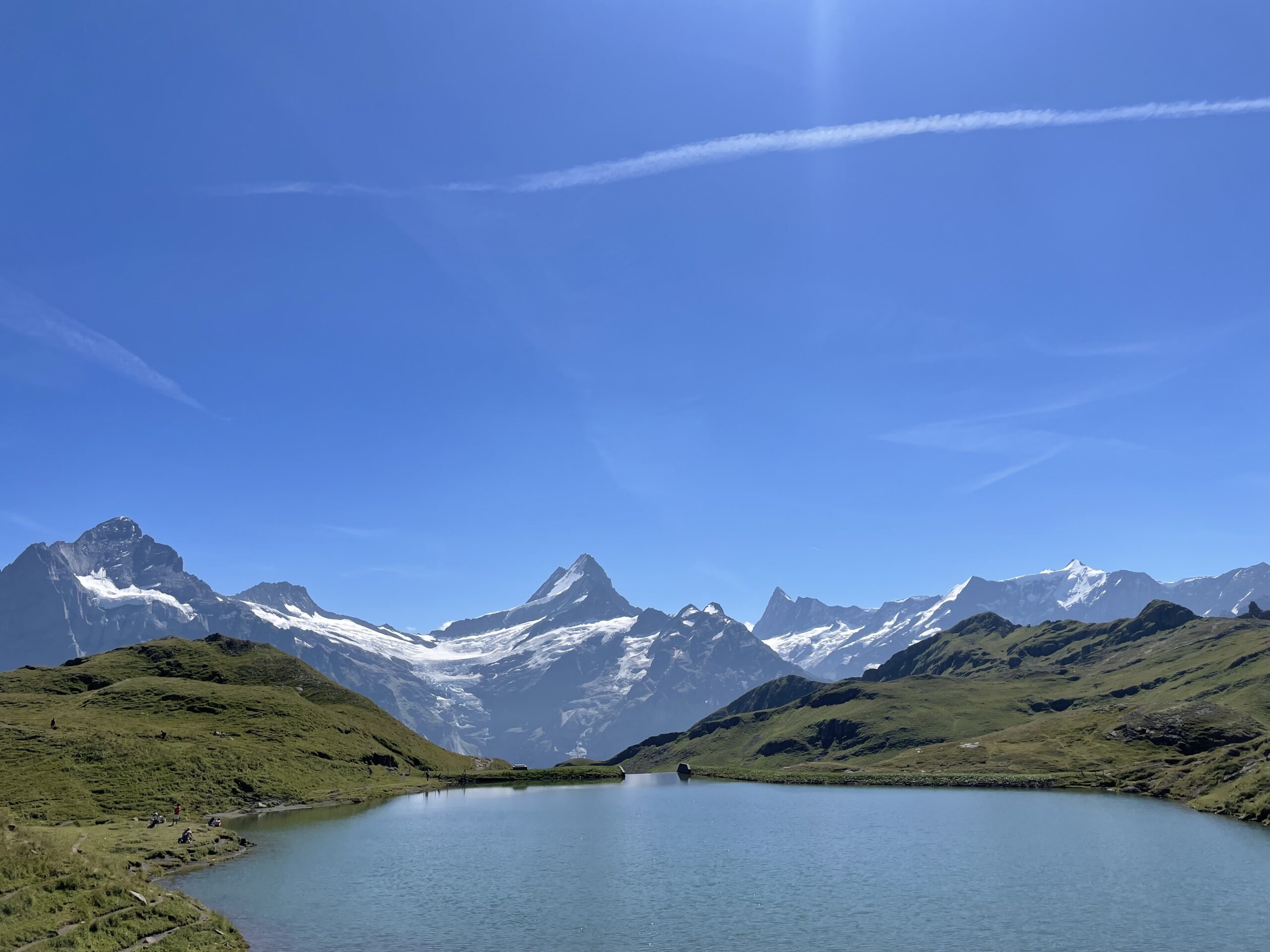
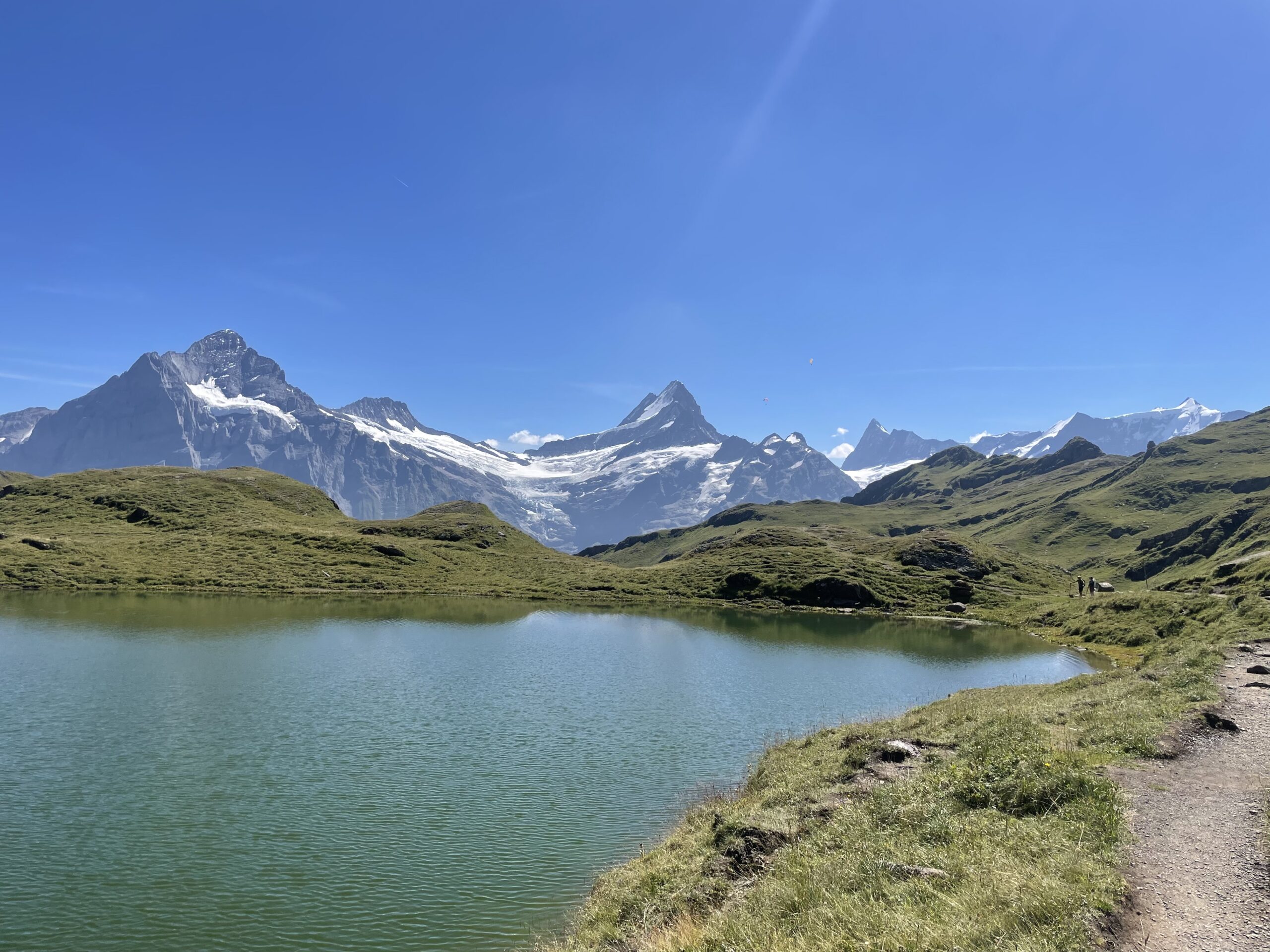
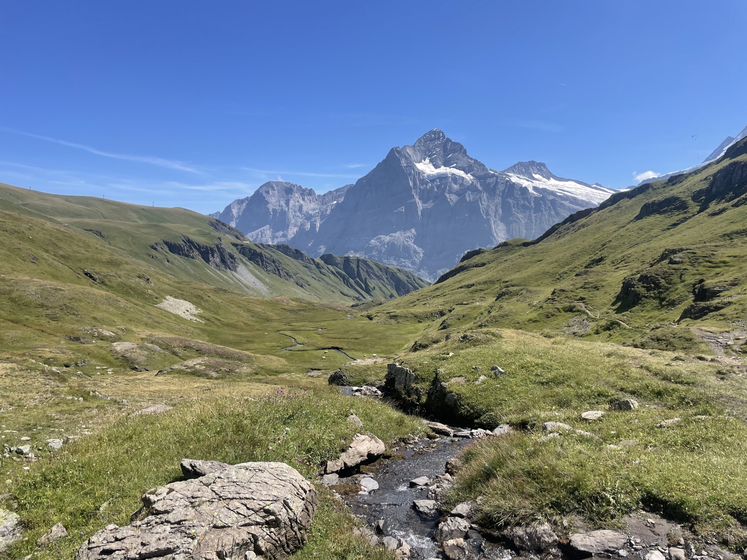
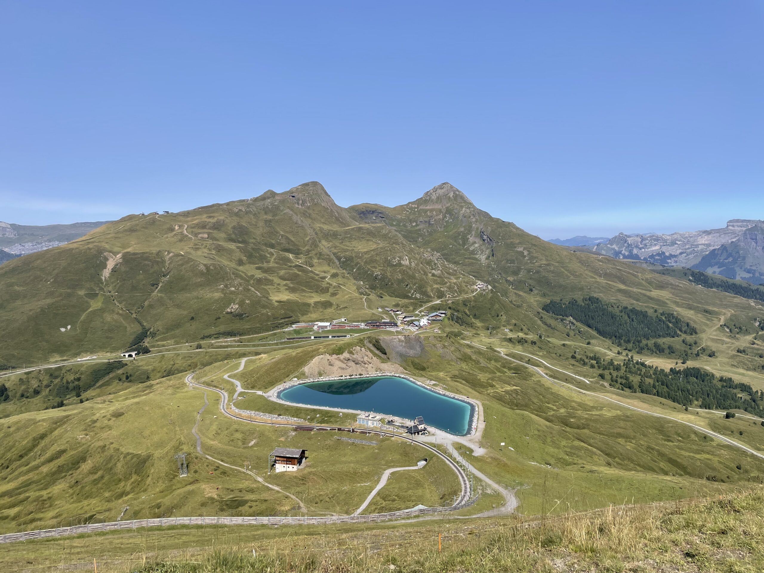
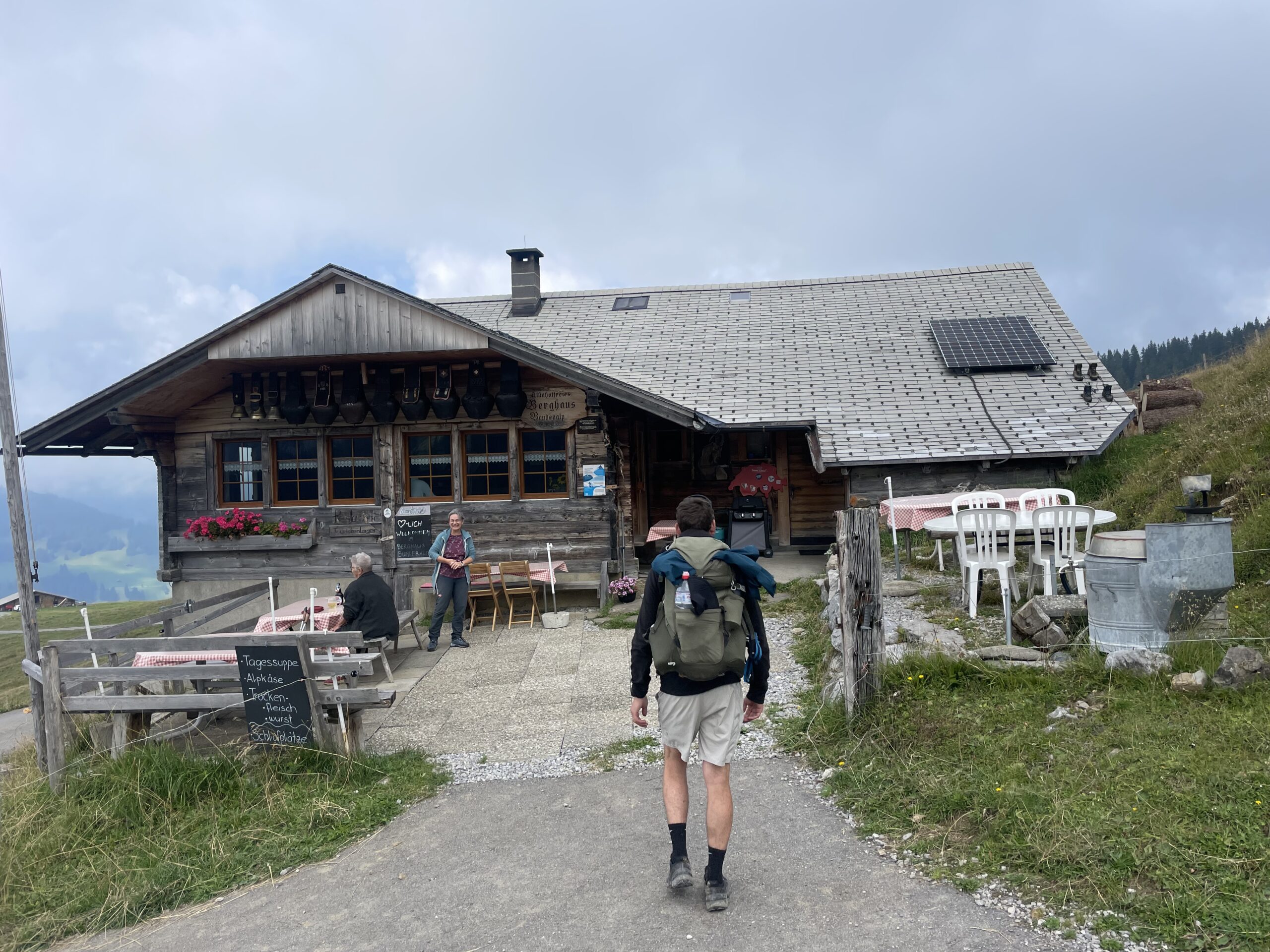
The day begins at Schwarzwaldalp, climbing gently through forest and alpine meadows toward Grosse Scheidegg Pass. From the pass, the views open dramatically to the Eiger, Mönch, and surrounding peaks, with the Berghaus terrace a great place to pause. From here the route continues toward Grindelwald, either descending directly into the valley or heading higher toward First, passing streams and waterfalls before reaching the iconic Bachalpsee Lake beneath the Schreckhorn. The trail then drops through flower-filled slopes with sweeping views of the Bernese Alps, finishing near Bort with the option to take the gondola down into Grindelwald.
Approximate time and distances:
18.5kms / 1000m up / 1000m down -
Day 3:
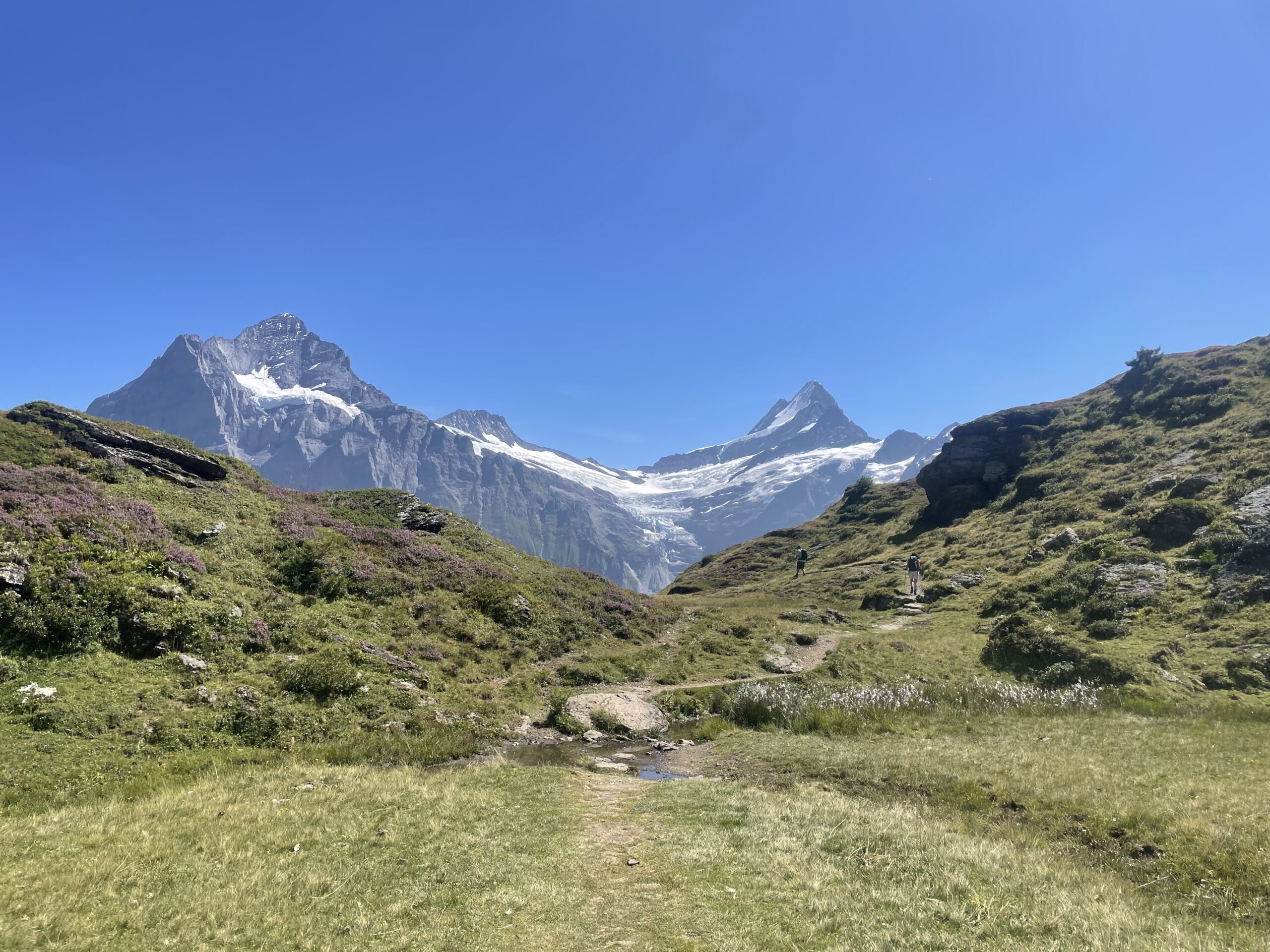
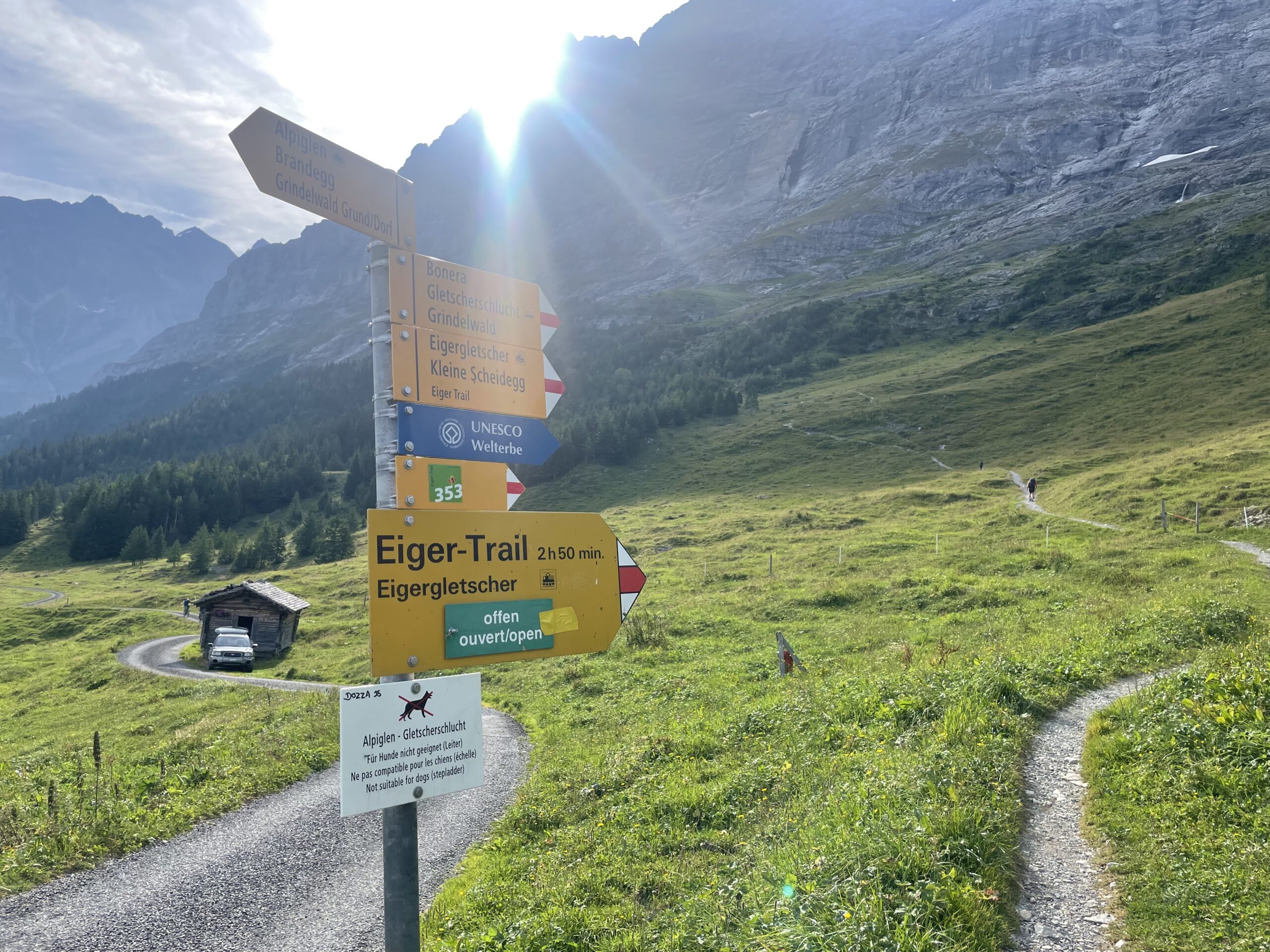
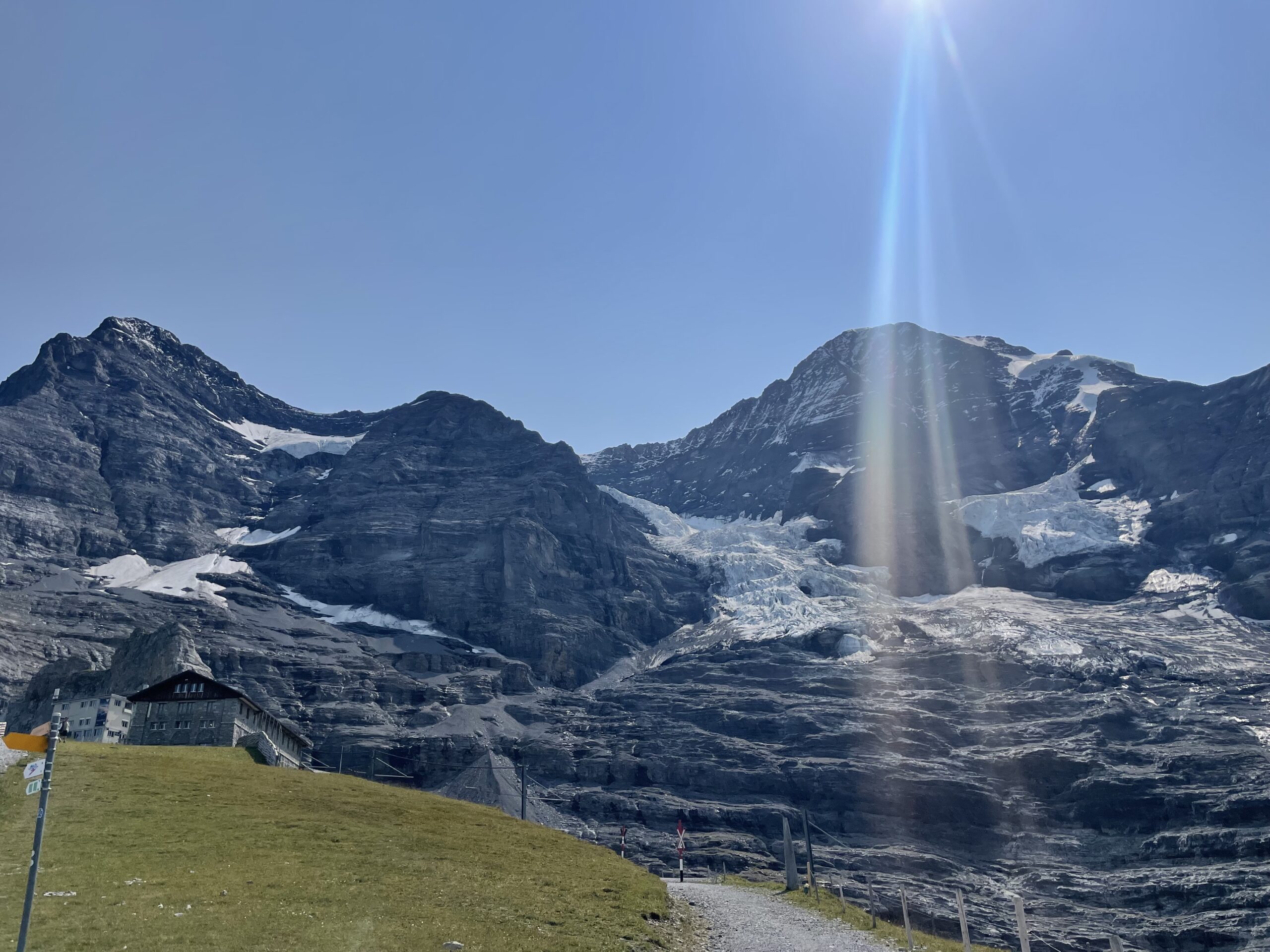
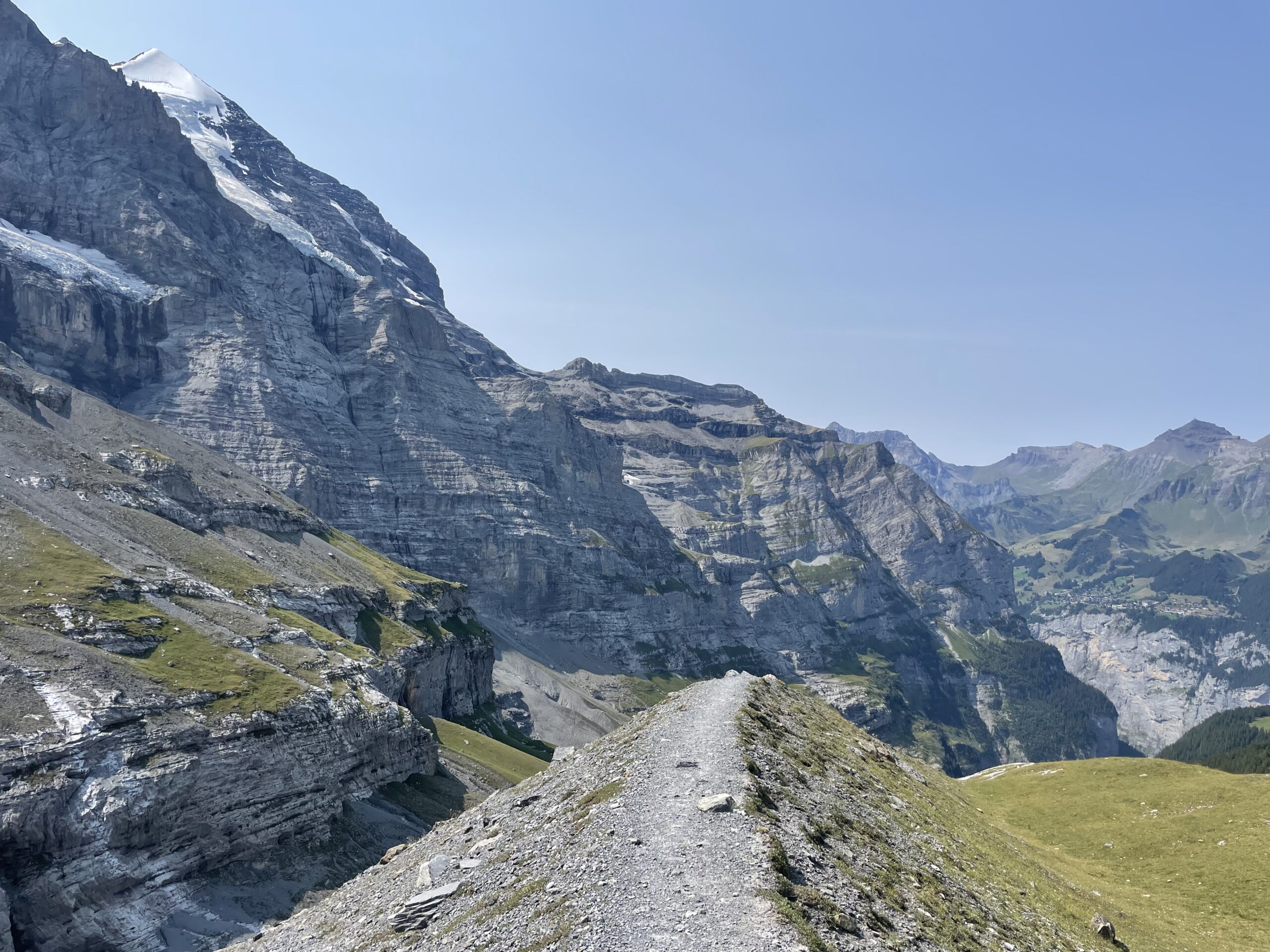
Grindelwald - Wengen
The hike starts in Grindelwald, climbing gently through alpine meadows and past chalets toward Kleine Scheidegg, with the Eiger dominating the skyline. From Alpiglen, the Eigerweg trail offers a closer, more dramatic route along the base of the Eiger North Face, passing waterfalls, tunnels, and moraine paths beneath glaciers. The final stretch descends through forests and past streams into Wengen, with the option to shorten the day using the train at several points along the route.
Approximate time and distances:
16kms / 1200m up / 1500m down -
Day 4:
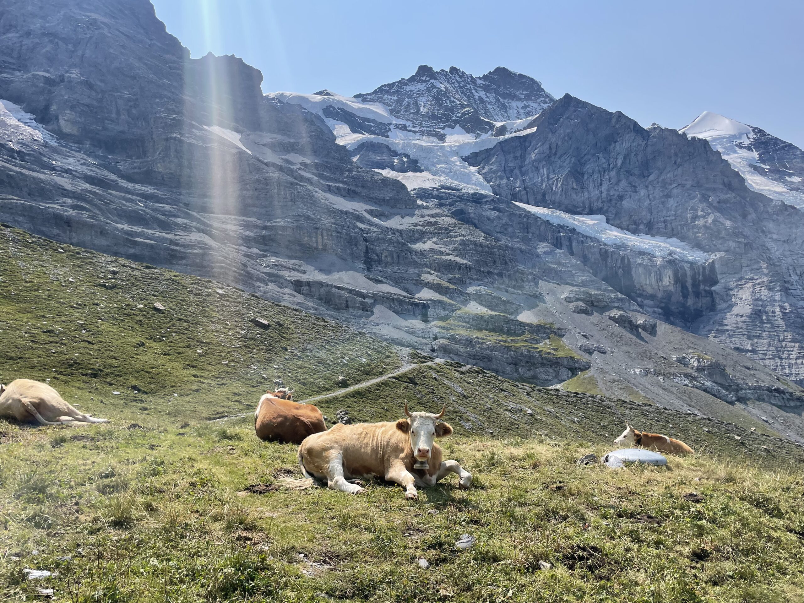
Wengen - Murren
The day begins in Wengen, descending into the Lauterbrunnen Valley, where towering cliffs and numerous waterfalls line the route. From the valley floor, the trail climbs gently—or via gondola—toward Mürren, passing scenic meadows, forests, and streams. Highlights include Trümmelbach Falls, the valley’s cascading waterfalls, and panoramic views back towards the Eiger, Mönch, and Jungfrau. The final stretch leads through alpine pastures and flower-filled slopes, with the option to take a funicular into Mürren for a shorter, easier finish.
Approximate time and distances:
14kms / 1100m up / 850m down -
Day 5:
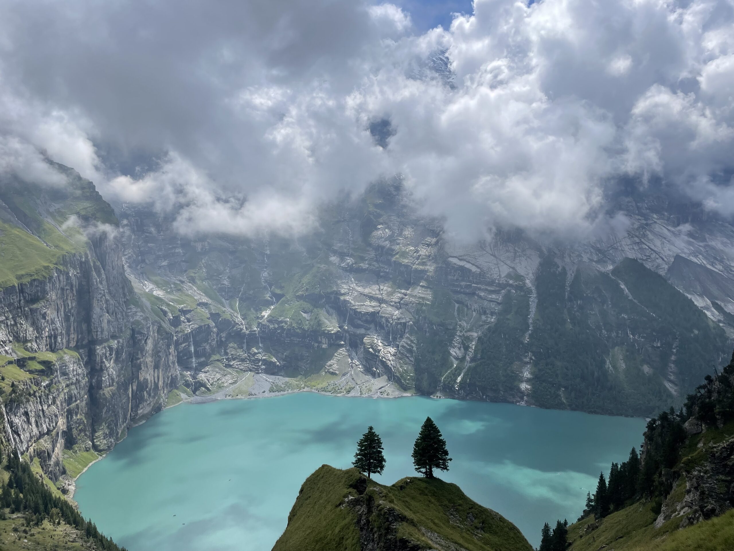
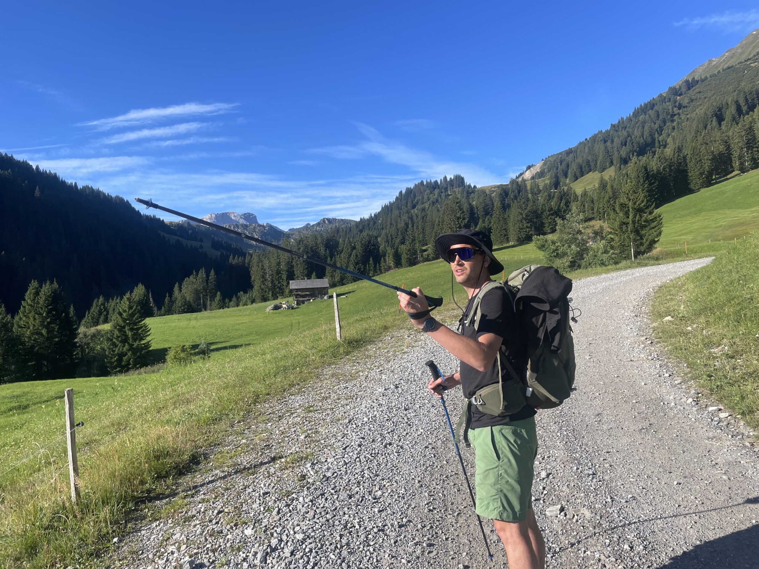
Murren - Griesalp
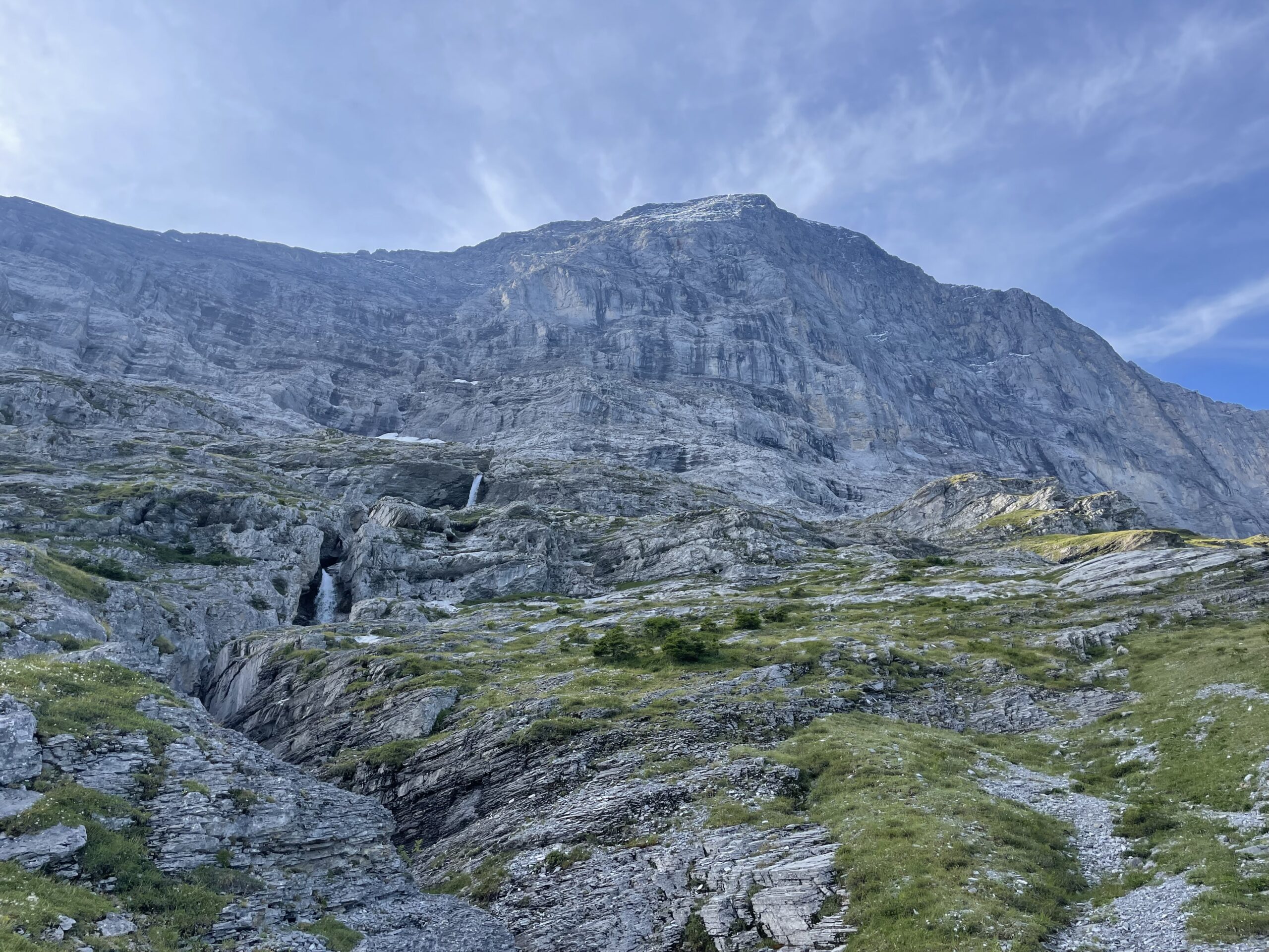
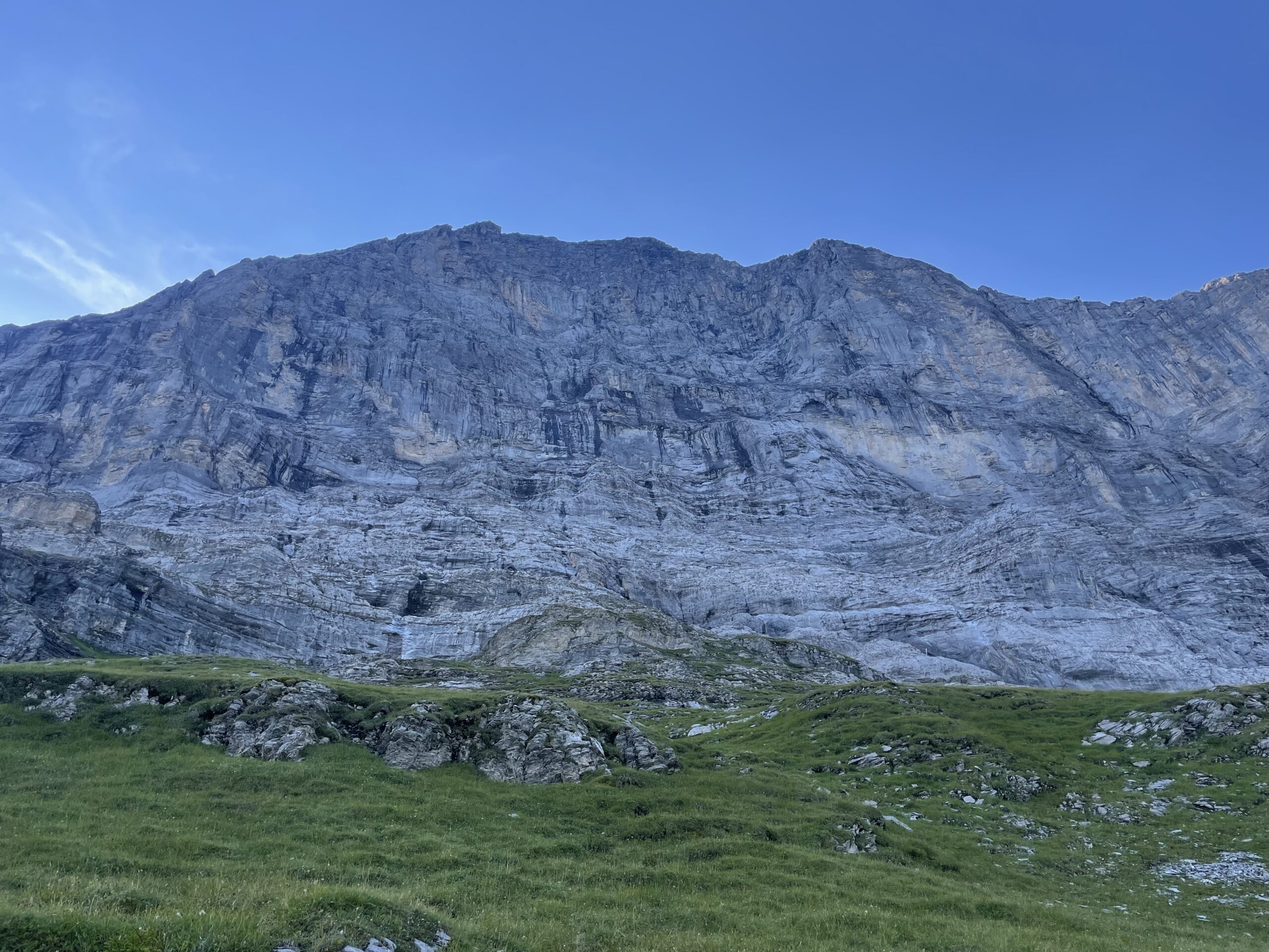
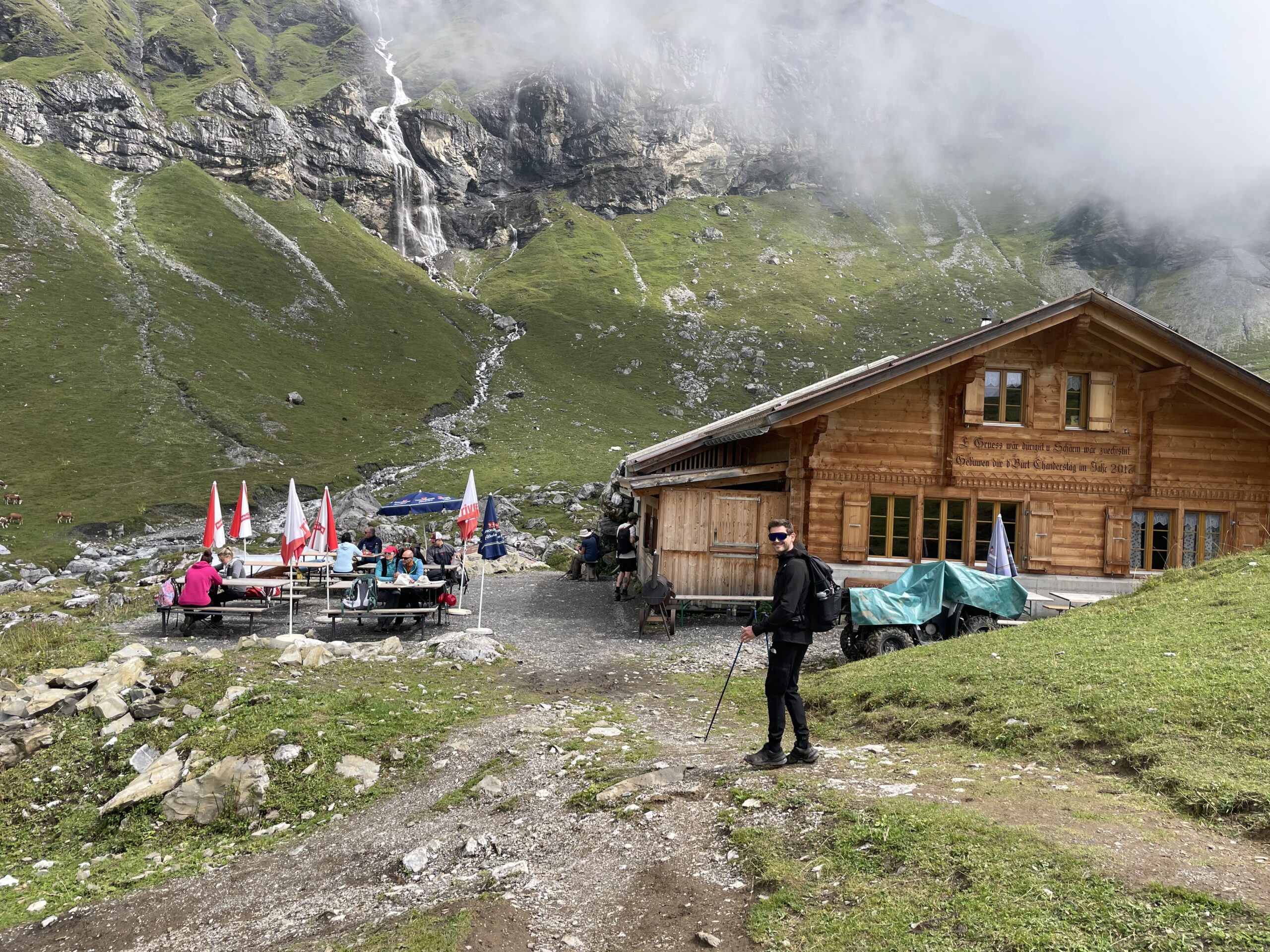
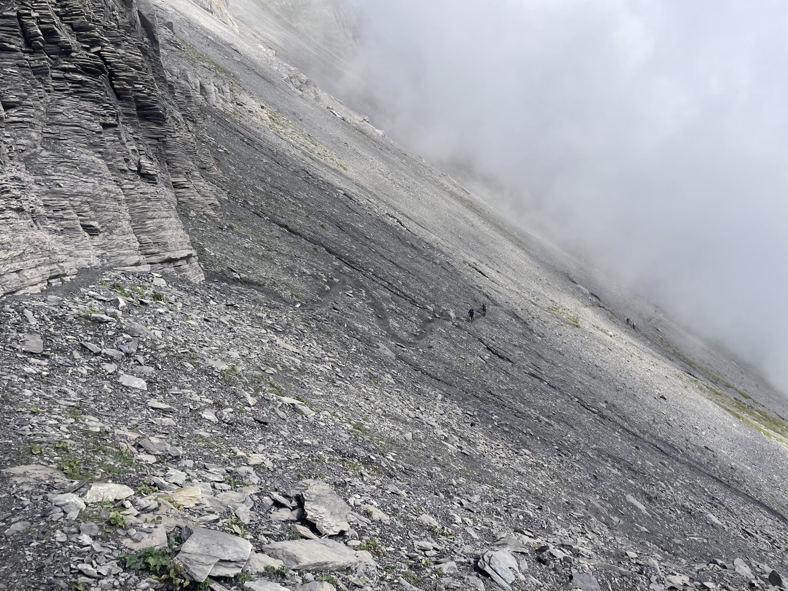
From Mürren, the trail begins just behind the gondola station. After a brief stretch on pavement, the road ends and a narrow footpath takes over. The path climbs in sharp zigzags across alpine meadows, leading through the Sefinental valley to the Rotstockhütte. This charming mountain hut is the perfect place to pause for a coffee and a sweet treat before continuing toward the Sefinenfurgge Pass. From the hut, the trail grows steeper, a challenging section where the effort pays off with every step. Handrails and ropes are fixed along the narrow, loose sections to help with balance, especially if the rocks are damp.
At 2,612 meters, the Sefinenfurgge rewards you with sweeping views of the Schilthorn, the Kiental valley, and the Blüemlisalp alpine pastures. The descent begins abruptly with a wooden staircase that can be slippery in wet conditions—trekking poles or the support ropes are useful here. After dropping through rocky terrain, the trail gradually softens into green meadows. Following a bubbling stream and passing a picturesque waterfall, you arrive at Obere Dürreberg. The path then continues until you drop down via a 4x4 gravel path to the wide pastures of Griesalp.
Approximate time and distances:
16kms / 1100m up / 1300m down -
Day 6:
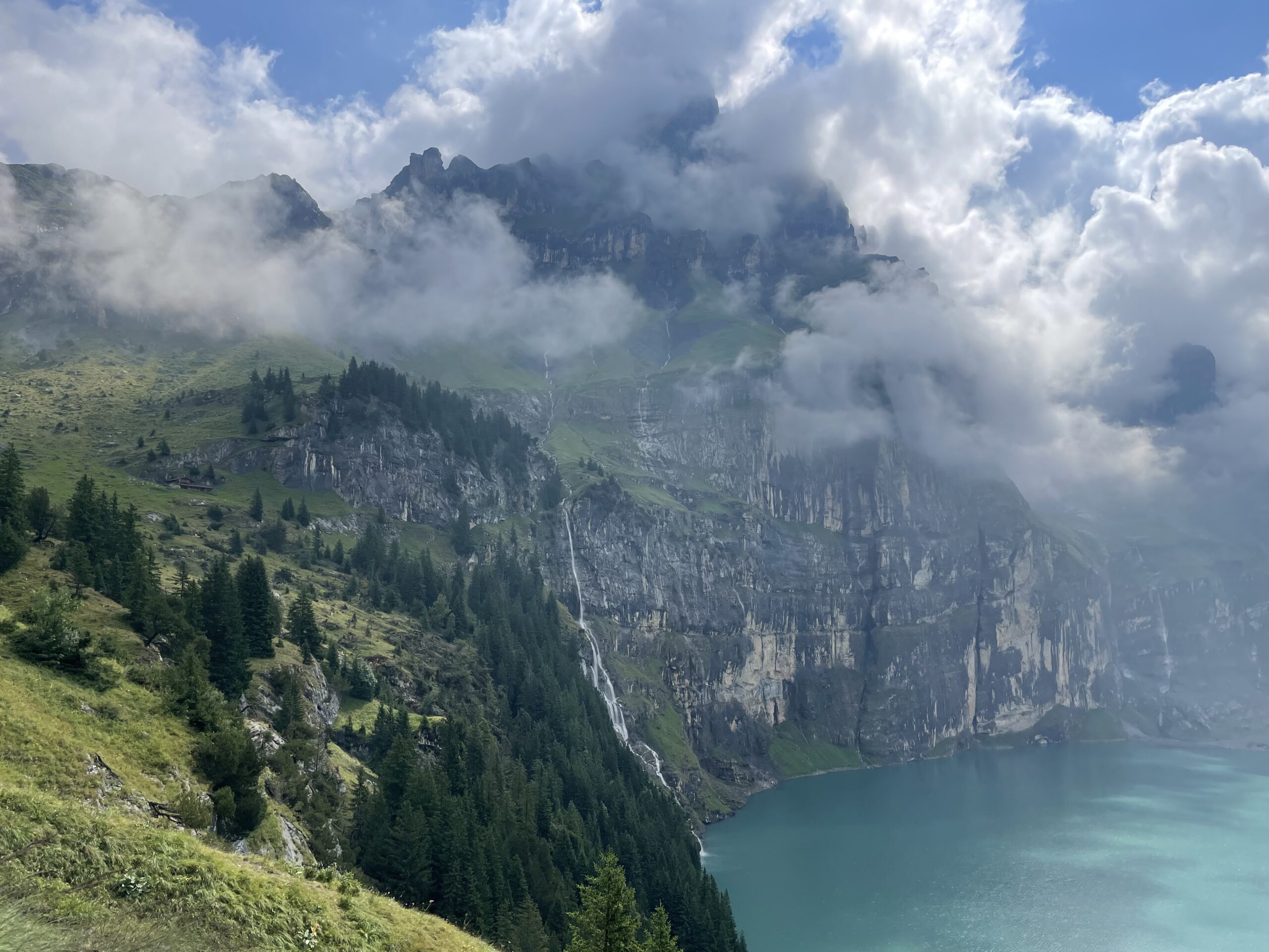
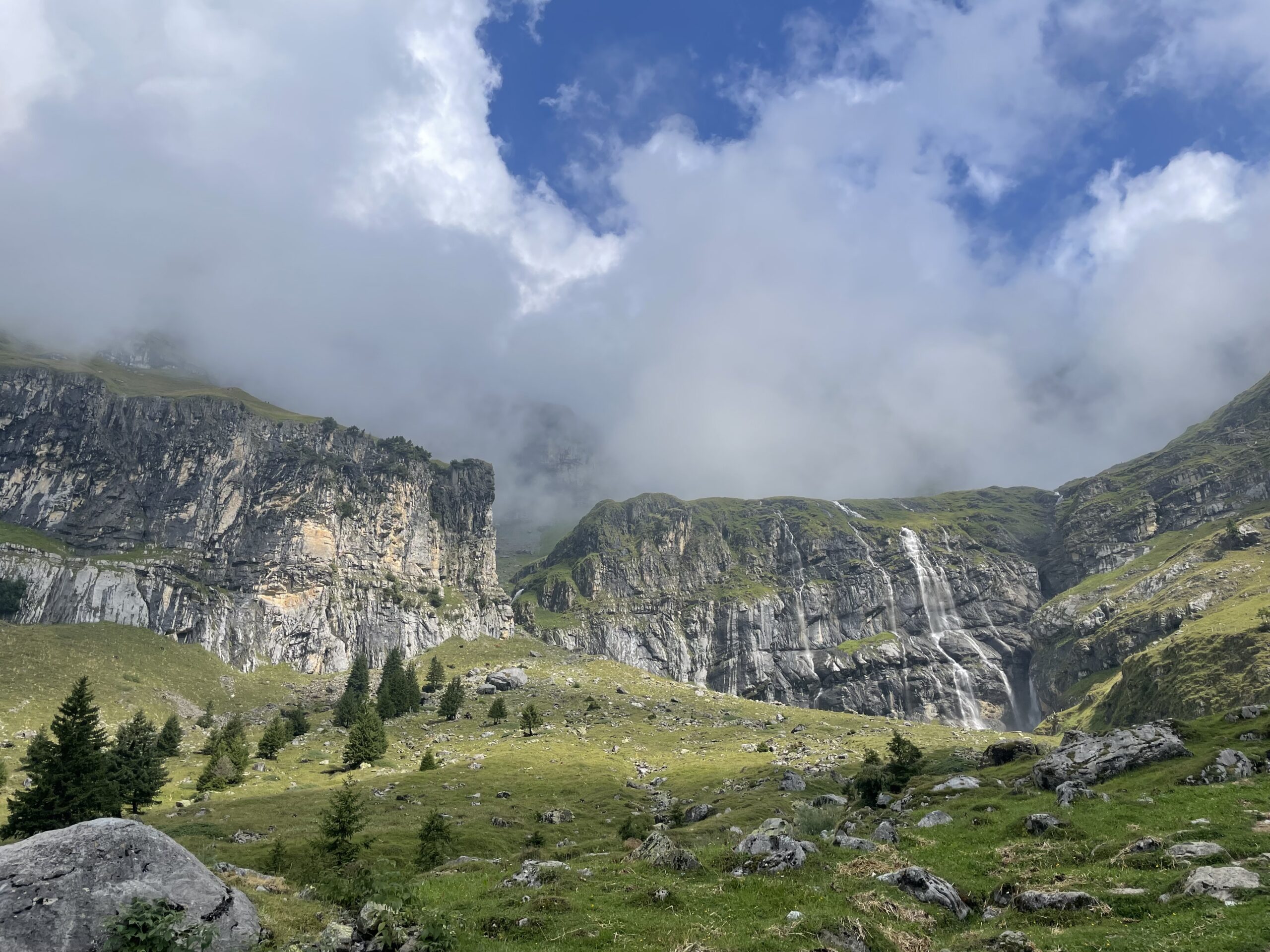
Greisalp - Kandersteg
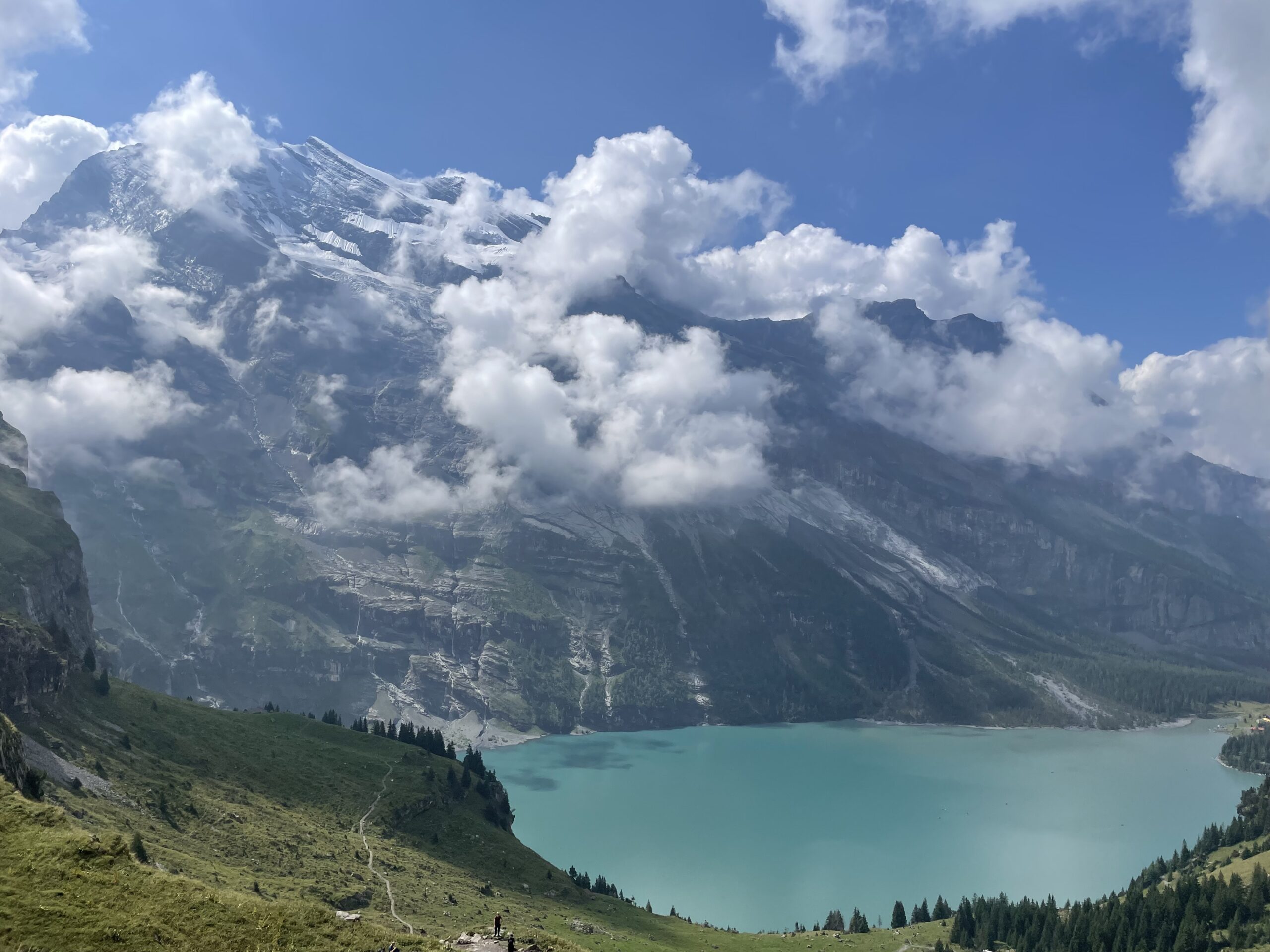
The day begins at Greisalp, winding through forest before reaching Berghaus Bundalp, a perfect spot to rest before the climb to Hohtürli Pass at 2,778 m. The ascent leads up into rugged terrain, with the option to pause at Blüemlisalphütte for sweeping views of the surrounding peaks and glaciers. The descent leads past the Blüemlisalp Glacier toward Oeschinensee, with options to follow a higher, panoramic trail or a lower, wider path to the lake. Both routes converge near the lake, where you can either take the gondola or continue on foot down to Kandersteg.
Approximate time and distances:
19kms / 1500m up / 1800m down -
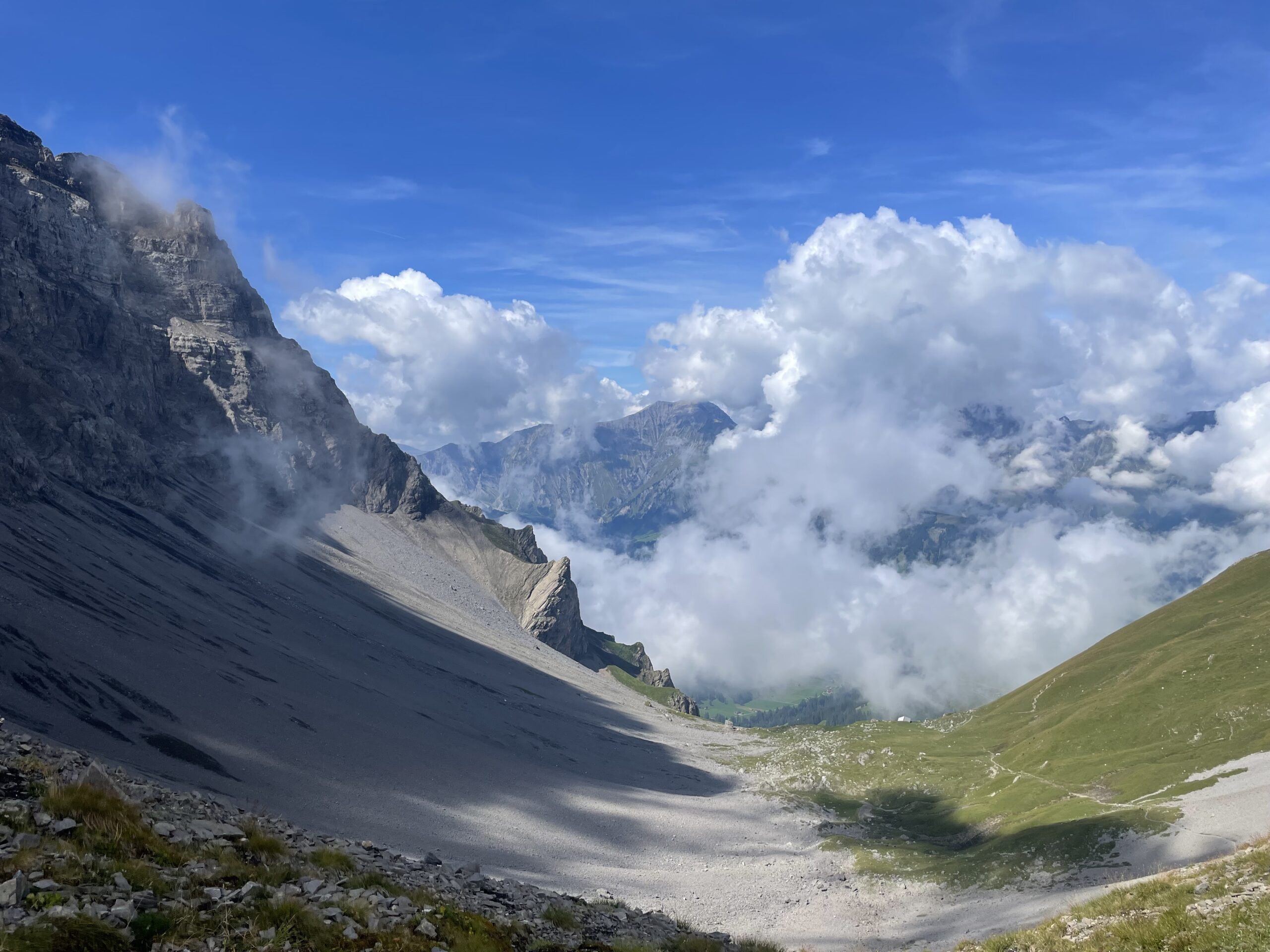
Day 7:
Kandersteg - Adelboden
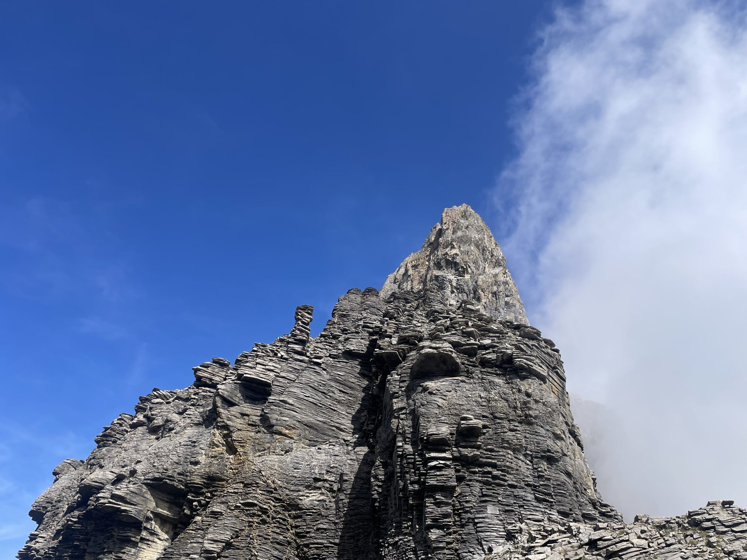
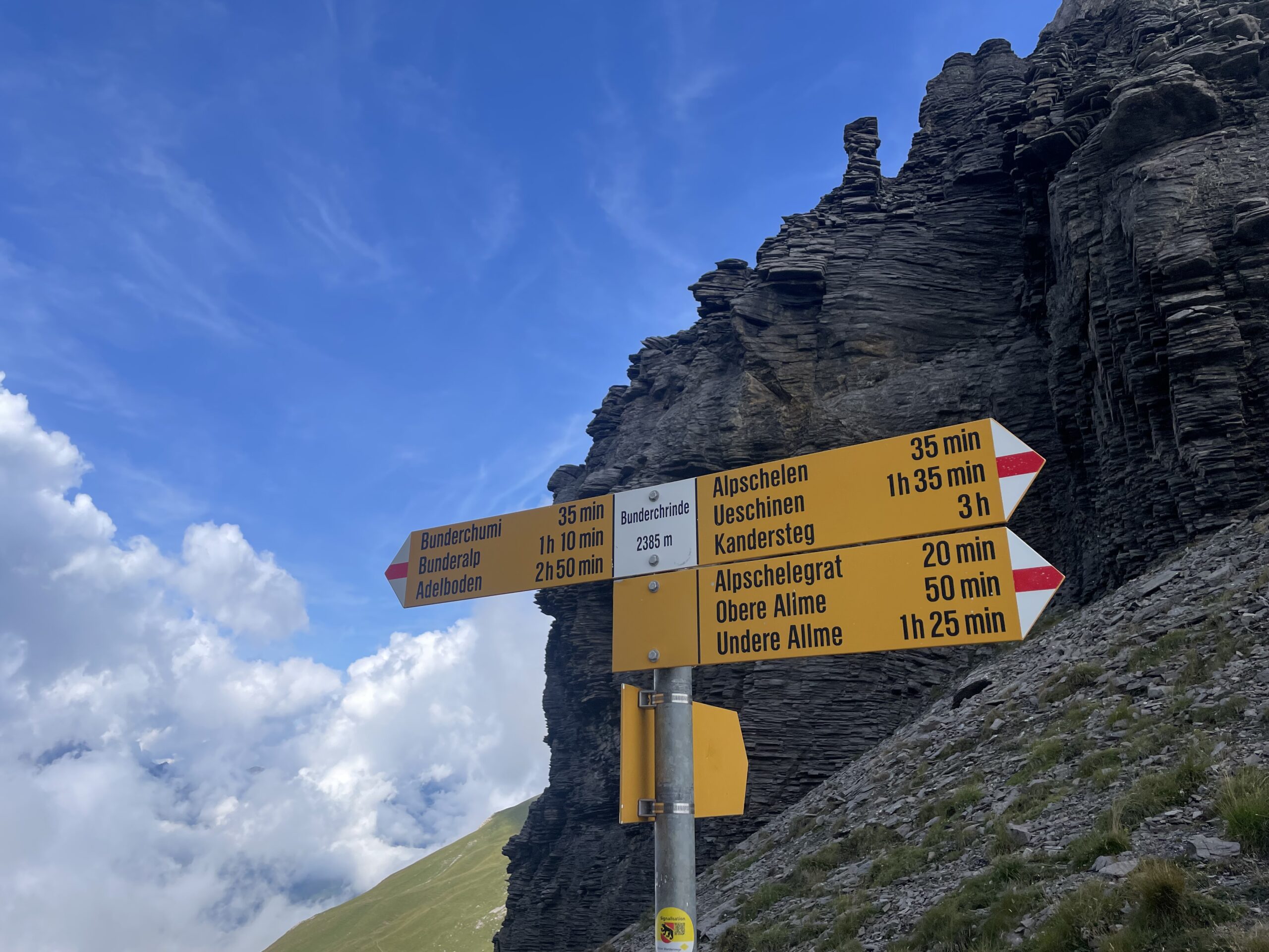
The hike starts in Kandersteg, following rivers, forests, and meadows before climbing along the Alpbach Gorge to the Usser Üschene pastures. A steep ascent leads to Alpschele with views of Lake Oeschinensee and surrounding peaks. The trail continues across rocky and steep terrain to Bunderchrinde Pass at 2,382 m, offering sweeping views over Adelboden and the Engstligental valley. The descent drops sharply through mountainside paths and streams, finishing in the lively village of Adelboden.
Approximate time and distances:
16 km / 1300m up / 1150m down -
Day 8:
Adelboden - Lenk
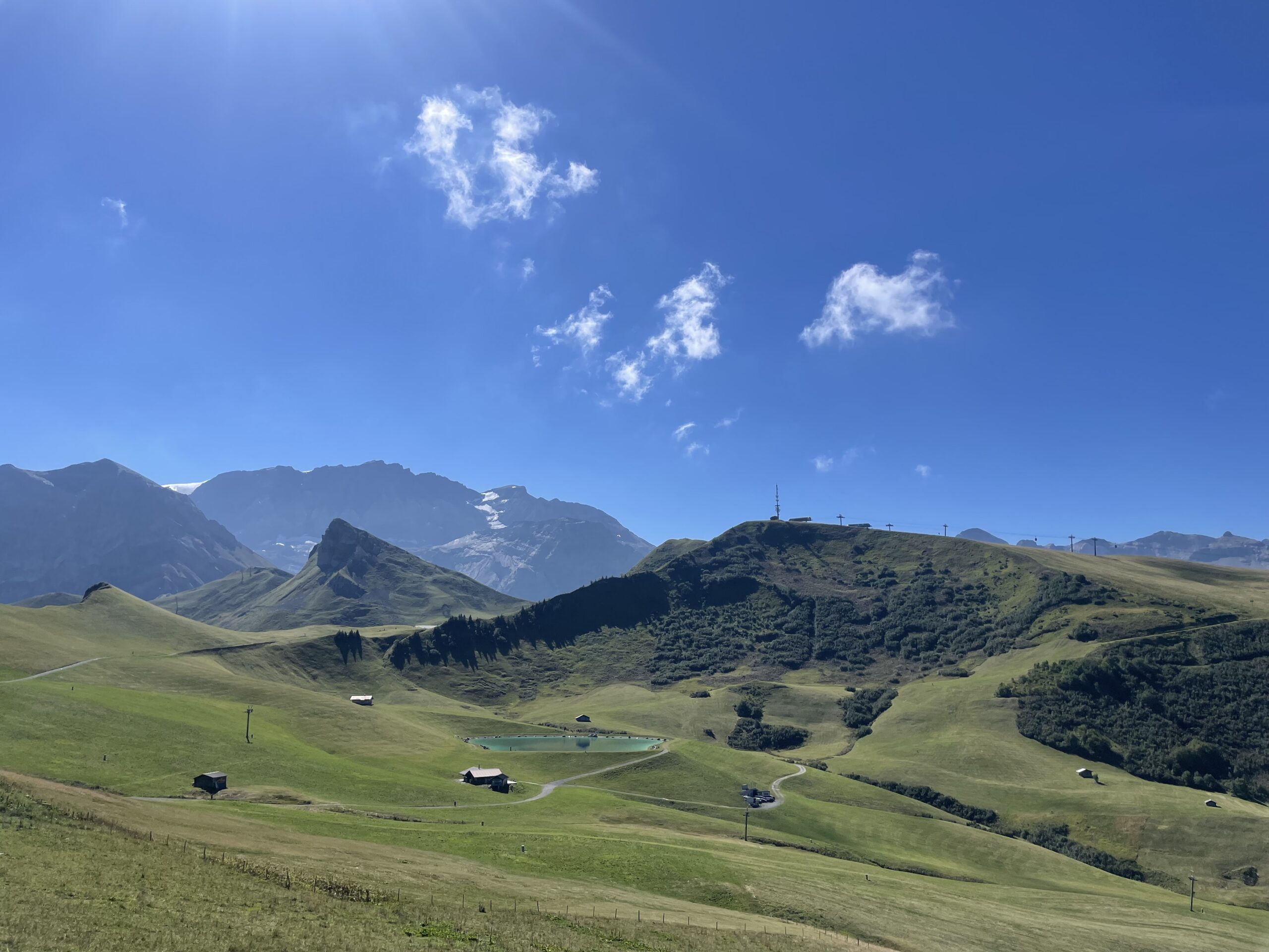
The hike starts in Adelboden, dropping from the village before following streams and rocky paths with views of the Engstligenfälle waterfall and the Wildstrubel massif. From Bergläger, the trail ascends toward Hahnenmoos Pass offering panoramic views over the mountains and valleys. From the pass, the route descends through alpine meadows and past traditional chalets to reach Lenk, a charming village at the base of the valley.
Approximate time and distances:
14kms / 600m up / 900m down -
Day 9:
Lenk - Gstaad
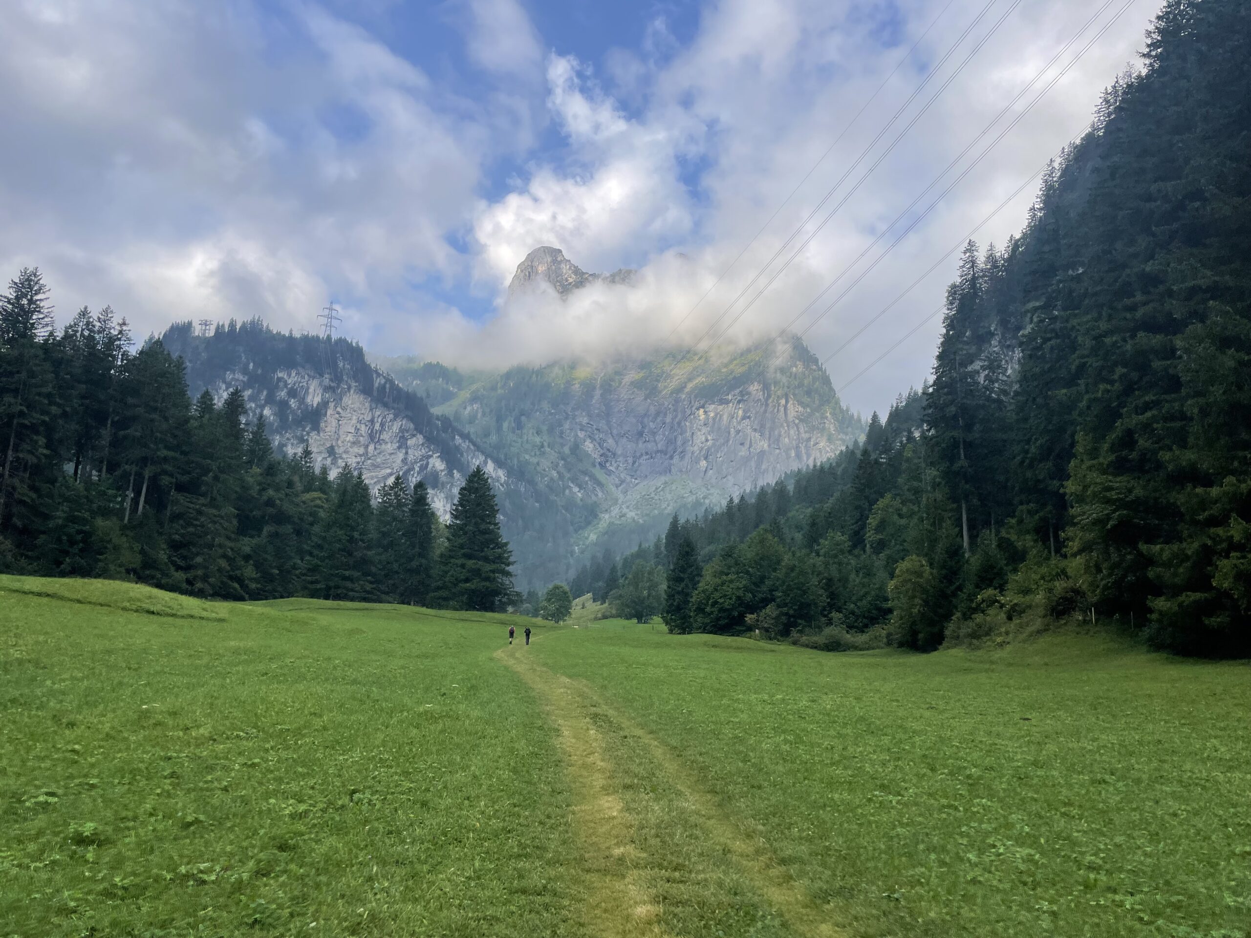
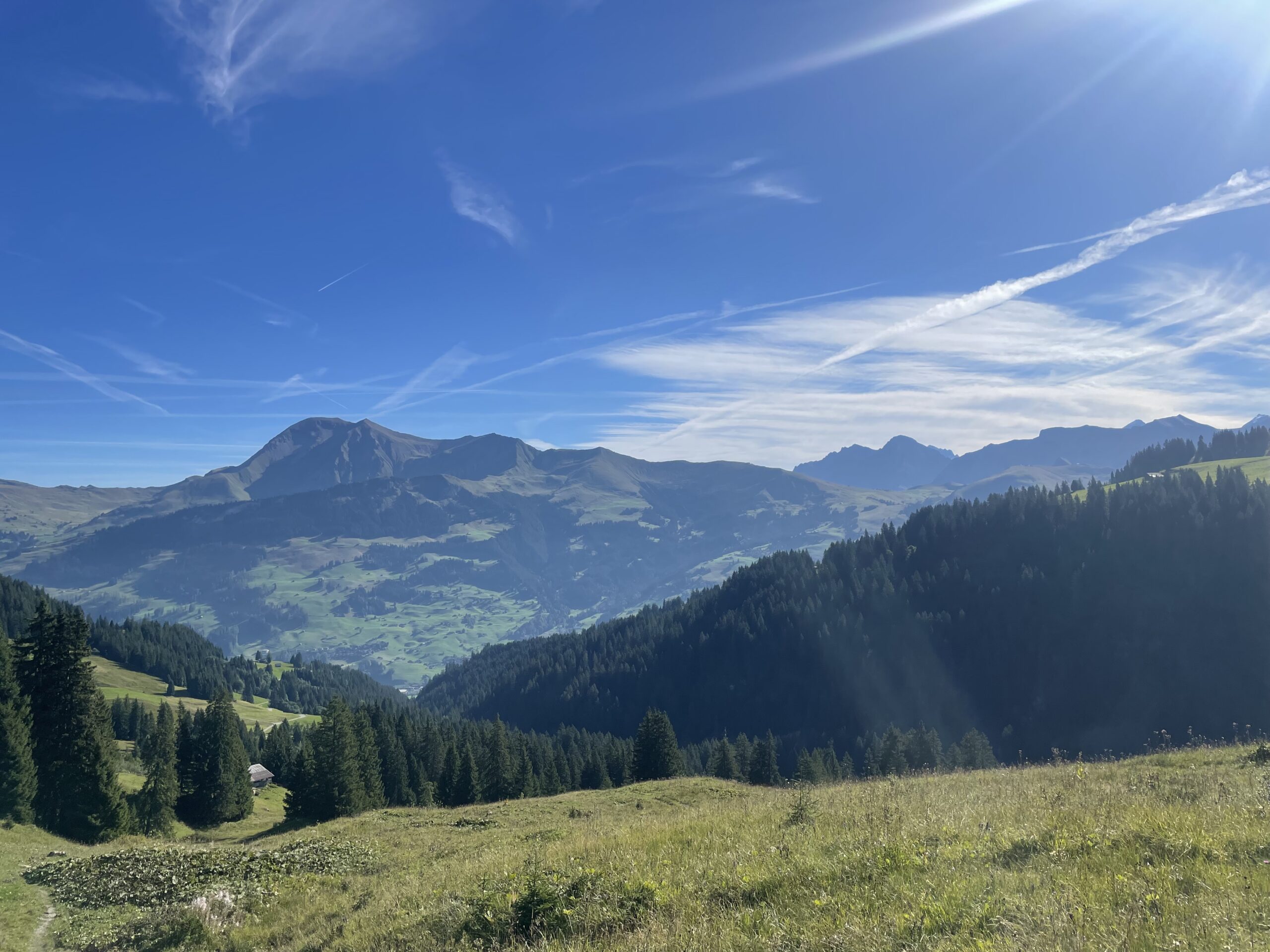
The day begins with a hike out of the village of Lenk, heading into the forest along the Wallbach river. Soon you’ll pass a striking waterfall, where a staircase helps you climb alongside it. From there, the trail takes on a short but steep ascent, the then path winds through lush meadows before reaching the forest’s edge. This stretch is part of the Lynx Trail, leading into lynx territory—though unfortunately spotting one is very unlikely.
As you climb higher, sweeping views open up, revealing the Wildstrubel and Wildhorn peaks. Crossing out of the municipality of Valais, you make your way toward Gstaad via the Trüttlisbergpass 2,033m, the highest point of this stage. From here, the scenery drops dramatically into the beautiful Turbach Valley below.
The route then descends toward Turbach, starting across marshy ground. With the Hornfluh and Giferhorn mountains flanking the valley, the trail leads deeper into this peaceful, untouched valley dotted with dairy farms. Following the stream, you’ll be surrounded by steep slopes on either side. As you descend further, the valley floor—where year-round settlements are tucked away—becomes greener and more welcoming. Passing scattered farmsteads and hamlets, the trail finally delivers you to the chic alpine village of Gstaad.
You did it—hike complete! Now the choice is yours: kick back and celebrate with a cozy night in Gstaad, or hop on the train (just 1.5 hours) to Montreux where you can toast your achievement lakeside and maybe even dive right in. If you’d rather stretch out the celebration, you can always save Montreux for tomorrow—or simply continue your onward travels.
Approximate time and distances:
22.kms / 1000m up / 1000 m down
Are you ready?
Our adventures are attributed a difficulty level from A to E. This Via Alpina: Bernese Oberland Traverse trip is rated Level B, for those with some prior experience We recommend you only book a trip that reflects your ability.
Level A
For beginners and newcomers
- You’re not quite sure where to start but you’re hungry for an adventure
- Little / no prior experience
- Shorter time duration
- No technical skills required but keen to learn
- Basic level of fitness
More your level?
Level B
For those with some prior experience
- You have some previous experience in the outdoors, whether that’s hiking, skiing or climbing, and are keen to build on that
- You will either be starting to venture into more technical terrain or slightly more challenging environments
- Some basic skills
- Moderate fitness
Think you've got this?
This trip is at this level
Level C
For accomplished adventurers
- You enjoy challenging yourself physically and mentally
- You’re comfortable on multi-day adventures and you call yourself an avid adventurer
- You're not quite George Mallory but you subscribe to his 'because it is there' attitude
- Strong level of fitness
More your level?
Level D
For the pros
- You're ready to test your skills on the next challenge
- You're comfortable in most types of alpine environments
- Some level of technical skills
- Strong level of fitness
More your level?
Level E
For the experts
- You’ve been on multiple adventures and have built up a solid skillset to tackle most challenges out there
- Good technical skills and knowledge
- Experienced in alpine/mountains environments
- Very high level of fitness
More your level?

Intro to Trail Running – Chamonix
An opportunity to build confidence, learn the fundamentals of trail running, and experience the world-famous trails of Chamonix. This course is designed for beginners or road runners looking to transition to the trails. You’ll develop essential skills such as efficient uphill and downhill technique, pacing, gear selection, and how to stay safe in the mountains. All of this while exploring some of the most breathtaking terrain in Chamonix. Led by experienced Chloë Lanthier, this introduction balances practical learning with scenic runs — giving you the confidence and motivation to step into the world of trail running.
-
September
-
Level A
-
€1150.00


Climb Triglav
Discover the breathtaking beauty of Slovenia’s Julian Alps as you embark on an unforgettable trek through Triglav National Park. This exhilarating journey will take you to the summit of Slovenia’s highest peak, lead you through the stunning Triglav Lakes Valley, reveal nature’s most awe-inspiring wonders, and offer you the experience of staying in traditional mountain huts.
-
July - September
-
Level A
-
€1030.00

Tour du Mont Blanc Highlights
Experience the best of the Tour du Mont Blanc trails, trekking through France, Italy and Switzerland in just 4 days, for those that are looking for a shorter trip. Jam-packed with some of the best bits of the whole Tour du Mont Blanc, this trip has been designed in order to have an incredible trekking experience.
-
July - September
-
Level A
-
€990.00

Haute Route Trek Guided 6 Days
The Haute Route trek is one of the world’s great multi-day treks. The route links two world-famous mountains, Mont Blanc in France and the Matterhorn in Switzerland. Enjoy this 6 day version of the trek from Arolla to Zermatt.
-
July - September
-
Level B
-
€2300.00
Dolomites Alta Via 1 Guided Highlights
Discover the Alta Via 1 Trek – a spectacular journey through the heart of Italy’s Dolomites. This iconic trail winds through some of the most stunning UNESCO-listed alpine landscapes in the world. We’ve crafted this itinerary for those who want to experience the best of the Alta Via 1 on a shorter adventure. Perfect for hikers short on time but big on adventure, this guided trek packs in the highlights without skimping on the views. Over just a few unforgettable days, you’ll soak up dramatic peaks, scenic trails, and cozy mountain rifugios — all with expert guidance and none of the stress. If you’re after a high-impact trekking experience in a short window, this trip is made for you.
-
July - September
-
Level B
-
€1495.00


Austria, Silvretta Ski Tour
The Silvretta is a classic and a favourite for a reason. This tour offers a mix of glaciated terrain, great huts, and stunning peaks — but without pushing into high-stress technical territory. The ascents are steady, the descents are fun, and the overall pace is manageable for those stepping into the world of hut-to-hut touring.
-
March
-
Level B
-
€1950.00
Haute Route Trek Guided 11 Days
The Haute Route trek is one of the world’s great multi-day treks. The route links two world famous alpine mountains, Mont Blanc in France and the Matterhorn in Switzerland.
-
July - September
-
Level C
-
€3590.00

Austria, Otztal Ski Tour
The Ötztal Ski Tour is a stunning journey through the wild Tyrol region of the Alps, linking together beautiful Austrian and Italian mountain huts and peaks. It’s ideal for those seeking a challenging multi-day ‘hut-to-hut’ ski adventure. Expect full days of ski touring with rewarding ascents, enjoyable descents, and cozy, often more comfortable huts than you might find elsewhere in the Alps.
-
March
-
Level C
-
€2030.00

Mont Blanc Turbo
Climb Mont Blanc (4808m) the highest peak in Western Europe. It’s a beautiful, imposing and highly sought after summit that sits at the roof of the Alps on the border of France and Italy. If your adventure juices are flowing, then keep on reading...
-
June - July
-
Level C
-
€2760.00

Alpine Haute Route Ski Tour
The Haute Route ski tour has deservedly earned its reputation for being one of the world's great ski adventures. Embark on an epic 6 day journey crossing spectacular glaciated terrain from Chamonix to Zermatt. Love your skiing? This is a must for you!
-
March - April
-
Level D
-
€2250.00

Climb the Triple Crown of the Alps
Climb the famous Triple Crown of the Alps. Mont Blanc, Matterhorn and Eiger. A lifetime mountaineering achievement, all possible within 10 days with the right fitness and preparation.
-
July - August
-
Level E
-
€13955.00

Bernese Oberland Ski Tour in the Swiss Alps
The Bernese Oberland ski tour is a stunning link up of high altitude mountain huts and peaks in the wild Bernese Oberland region of the Swiss Alps. The ski terrain in this region is for expert ski tourers with strong endurance. It features long days on huge glaciers, remote huts, and big, wild terrain — a true adventure for seasoned riders.
-
March
-
Level E
-
€2350.00

Climb the Eiger
The Eiger is one of the most sought after summits in the Alps and a formidable challenge for any keen mountaineer. Located in the Bernese Alps in Switzerland, this is a major Alpine classic steeped in historic tales of heroic climbing. On this trip we climb via the Mittellegi ridge. Got what it takes?
-
July - August
-
Level E
-
€4830.00
READY TO TREK THE VIA ALPINA?
We hope you've found all the information you need above, but if not don't hesitate to get in touch. If you're ready to book, follow the link below.
Deposit/Book Now